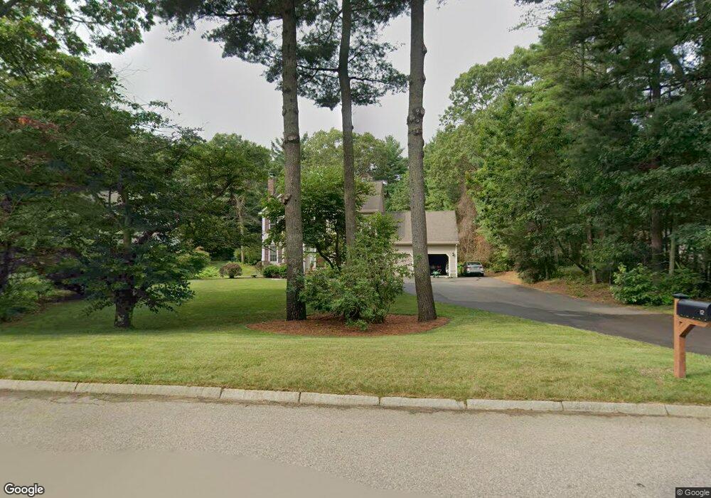
12 Keith Dr Norton, MA 02766
Estimated Value: $705,000 - $937,000
3
Beds
3
Baths
2,002
Sq Ft
$397/Sq Ft
Est. Value
About This Home
This home is located at 12 Keith Dr, Norton, MA 02766 and is currently estimated at $794,502, approximately $396 per square foot. 12 Keith Dr is a home located in Bristol County with nearby schools including L.G. Nourse Elementary School, Henri A. Yelle Elementary School, and Norton Middle School.
Ownership History
Date
Name
Owned For
Owner Type
Purchase Details
Closed on
Aug 27, 1998
Sold by
Welch Building Corp
Bought by
Pesa Robert R and Pesa Annabella
Current Estimated Value
Home Financials for this Owner
Home Financials are based on the most recent Mortgage that was taken out on this home.
Original Mortgage
$201,500
Interest Rate
6.9%
Mortgage Type
Purchase Money Mortgage
Create a Home Valuation Report for This Property
The Home Valuation Report is an in-depth analysis detailing your home's value as well as a comparison with similar homes in the area
Home Values in the Area
Average Home Value in this Area
Purchase History
| Date | Buyer | Sale Price | Title Company |
|---|---|---|---|
| Pesa Robert R | $251,909 | -- |
Source: Public Records
Mortgage History
| Date | Status | Borrower | Loan Amount |
|---|---|---|---|
| Open | Pesa Robert R | $188,000 | |
| Closed | Pesa Robert R | $201,500 |
Source: Public Records
Tax History Compared to Growth
Tax History
| Year | Tax Paid | Tax Assessment Tax Assessment Total Assessment is a certain percentage of the fair market value that is determined by local assessors to be the total taxable value of land and additions on the property. | Land | Improvement |
|---|---|---|---|---|
| 2025 | $82 | $629,800 | $222,900 | $406,900 |
| 2024 | $7,767 | $599,800 | $212,200 | $387,600 |
| 2023 | $7,355 | $566,200 | $200,200 | $366,000 |
| 2022 | $7,164 | $502,400 | $182,000 | $320,400 |
| 2021 | $6,789 | $454,700 | $173,300 | $281,400 |
| 2020 | $6,587 | $445,100 | $168,200 | $276,900 |
| 2019 | $6,404 | $429,800 | $161,900 | $267,900 |
| 2018 | $6,346 | $418,600 | $161,900 | $256,700 |
| 2017 | $6,362 | $413,900 | $161,900 | $252,000 |
| 2016 | $6,155 | $394,300 | $161,900 | $232,400 |
| 2015 | $5,976 | $388,300 | $158,700 | $229,600 |
| 2014 | $5,728 | $372,700 | $151,100 | $221,600 |
Source: Public Records
Map
Nearby Homes