12 Kern Dr Flanders, NJ 07836
Estimated Value: $405,000 - $625,000
--
Bed
--
Bath
1,588
Sq Ft
$347/Sq Ft
Est. Value
About This Home
This home is located at 12 Kern Dr, Flanders, NJ 07836 and is currently estimated at $551,765, approximately $347 per square foot. 12 Kern Dr is a home located in Morris County with nearby schools including Mt Olive Middle School, Mount Olive High School, and American Christian School.
Ownership History
Date
Name
Owned For
Owner Type
Purchase Details
Closed on
Dec 12, 2011
Sold by
Peles Matthew T
Bought by
Takahashi Ryutaro and Takahashi Jay
Current Estimated Value
Home Financials for this Owner
Home Financials are based on the most recent Mortgage that was taken out on this home.
Original Mortgage
$110,000
Outstanding Balance
$75,247
Interest Rate
4.01%
Mortgage Type
New Conventional
Estimated Equity
$476,518
Purchase Details
Closed on
Aug 26, 1999
Sold by
Reda Michael R and Reda Michele M
Bought by
Peles Matthew T
Home Financials for this Owner
Home Financials are based on the most recent Mortgage that was taken out on this home.
Original Mortgage
$139,200
Interest Rate
6.25%
Mortgage Type
Stand Alone First
Create a Home Valuation Report for This Property
The Home Valuation Report is an in-depth analysis detailing your home's value as well as a comparison with similar homes in the area
Home Values in the Area
Average Home Value in this Area
Purchase History
| Date | Buyer | Sale Price | Title Company |
|---|---|---|---|
| Takahashi Ryutaro | $208,000 | None Available | |
| Peles Matthew T | $174,000 | Chicago Title Insurance Co |
Source: Public Records
Mortgage History
| Date | Status | Borrower | Loan Amount |
|---|---|---|---|
| Open | Takahashi Ryutaro | $110,000 | |
| Previous Owner | Peles Matthew T | $139,200 |
Source: Public Records
Tax History Compared to Growth
Tax History
| Year | Tax Paid | Tax Assessment Tax Assessment Total Assessment is a certain percentage of the fair market value that is determined by local assessors to be the total taxable value of land and additions on the property. | Land | Improvement |
|---|---|---|---|---|
| 2025 | $9,577 | $274,800 | $172,100 | $102,700 |
| 2024 | $9,033 | $274,800 | $172,100 | $102,700 |
| 2023 | $9,033 | $274,800 | $172,100 | $102,700 |
| 2022 | $9,228 | $274,800 | $172,100 | $102,700 |
| 2021 | $9,228 | $274,800 | $172,100 | $102,700 |
| 2020 | $9,104 | $274,800 | $172,100 | $102,700 |
| 2019 | $9,074 | $274,800 | $172,100 | $102,700 |
| 2018 | $8,986 | $274,800 | $172,100 | $102,700 |
| 2017 | $8,829 | $274,800 | $172,100 | $102,700 |
| 2016 | $8,549 | $274,800 | $172,100 | $102,700 |
| 2015 | $8,750 | $274,800 | $172,100 | $102,700 |
| 2014 | $8,758 | $274,800 | $172,100 | $102,700 |
Source: Public Records
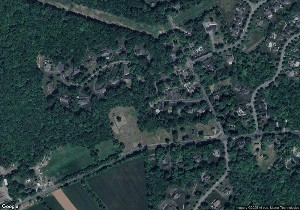
Map
Nearby Homes
- 150 Mount Olive Rd
- 130 Stedwick Dr Unit K54
- 136 Stedwick Dr
- 94 Stedwick Dr
- 15 Berry Ct
- 30 Tudor Place
- 8 Christopher Ct
- 46 Stephens Ave
- 37 Cassedy Rd
- 15 Salmon Ct
- 72 Flanders Drakestown Rd
- 10 Salmon Ct
- 1 Pershing Ave
- 12 Hunter Dr
- 162 River Rd
- 164 River Rd
- 21 Mount Olive Rd
- 250 Route46
- 4 Spring St
- 15 Amos Way