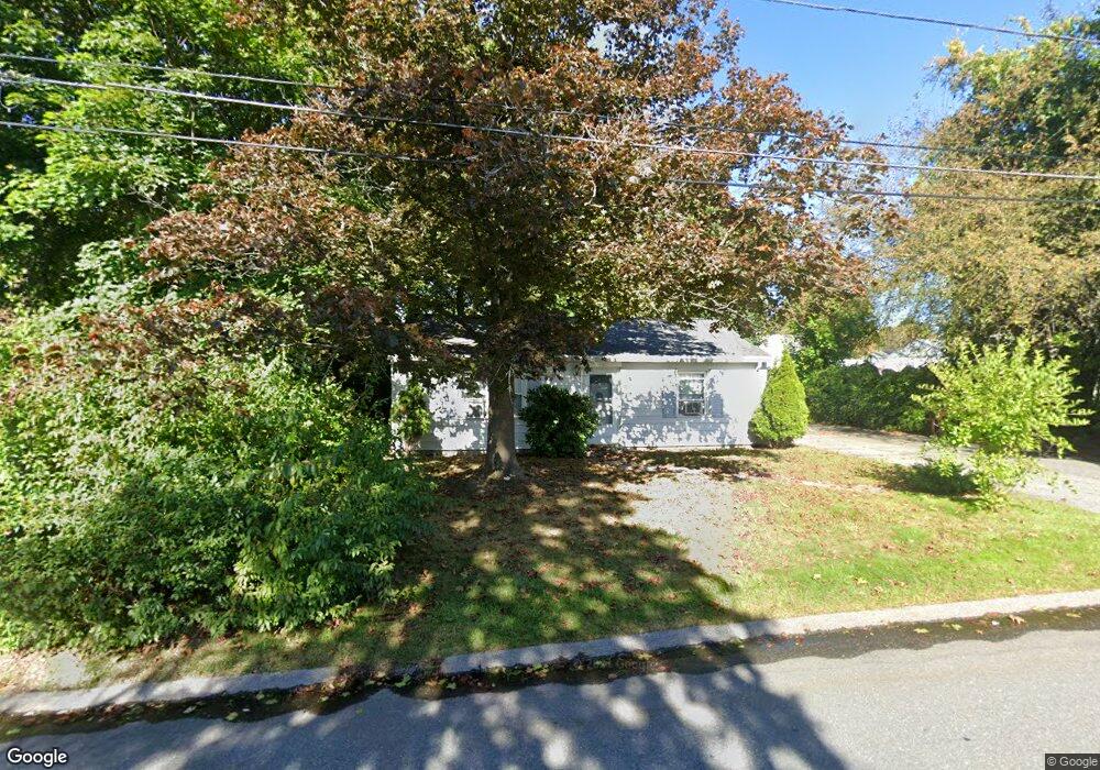
12 Kimball Rd Auburn, MA 01501
Pakachoag NeighborhoodEstimated Value: $319,000 - $336,000
2
Beds
2
Baths
825
Sq Ft
$395/Sq Ft
Est. Value
About This Home
This home is located at 12 Kimball Rd, Auburn, MA 01501 and is currently estimated at $325,943, approximately $395 per square foot. 12 Kimball Rd is a home located in Worcester County with nearby schools including Auburn Senior High School, Canterbury Street School, and Shrewsbury Montessori School - Auburn Campus.
Ownership History
Date
Name
Owned For
Owner Type
Purchase Details
Closed on
Jun 3, 2004
Sold by
Teixeira Antonio and Laydon Jonathan
Bought by
Sommella Laraine
Current Estimated Value
Home Financials for this Owner
Home Financials are based on the most recent Mortgage that was taken out on this home.
Original Mortgage
$173,500
Outstanding Balance
$84,472
Interest Rate
5.94%
Mortgage Type
Purchase Money Mortgage
Estimated Equity
$241,471
Purchase Details
Closed on
Aug 22, 2000
Sold by
Tonna Theodore and Standring David J
Bought by
Teixeira Antonio and Laydon Jonathan
Home Financials for this Owner
Home Financials are based on the most recent Mortgage that was taken out on this home.
Original Mortgage
$103,425
Interest Rate
8.13%
Mortgage Type
Purchase Money Mortgage
Purchase Details
Closed on
Feb 2, 2000
Sold by
Wright Walter R
Bought by
Tonna Theodore and Standring David J
Create a Home Valuation Report for This Property
The Home Valuation Report is an in-depth analysis detailing your home's value as well as a comparison with similar homes in the area
Home Values in the Area
Average Home Value in this Area
Purchase History
| Date | Buyer | Sale Price | Title Company |
|---|---|---|---|
| Sommella Laraine | $173,500 | -- | |
| Teixeira Antonio | $103,500 | -- | |
| Tonna Theodore | $68,000 | -- |
Source: Public Records
Mortgage History
| Date | Status | Borrower | Loan Amount |
|---|---|---|---|
| Open | Sommella Laraine | $173,500 | |
| Previous Owner | Tonna Theodore | $103,425 | |
| Previous Owner | Tonna Theodore | $60,000 |
Source: Public Records
Tax History Compared to Growth
Tax History
| Year | Tax Paid | Tax Assessment Tax Assessment Total Assessment is a certain percentage of the fair market value that is determined by local assessors to be the total taxable value of land and additions on the property. | Land | Improvement |
|---|---|---|---|---|
| 2025 | $39 | $271,500 | $111,400 | $160,100 |
| 2024 | $3,722 | $249,300 | $105,300 | $144,000 |
| 2023 | $3,584 | $225,700 | $95,700 | $130,000 |
| 2022 | $3,409 | $202,700 | $95,700 | $107,000 |
| 2021 | $81 | $173,300 | $84,400 | $88,900 |
| 2020 | $12,938 | $173,300 | $84,400 | $88,900 |
| 2019 | $4,701 | $164,000 | $83,600 | $80,400 |
| 2018 | $9,360 | $149,700 | $78,100 | $71,600 |
| 2017 | $2,613 | $142,500 | $70,900 | $71,600 |
| 2016 | $2,471 | $136,600 | $73,400 | $63,200 |
| 2015 | $2,389 | $138,400 | $73,400 | $65,000 |
| 2014 | $2,251 | $130,200 | $69,900 | $60,300 |
Source: Public Records
Map
Nearby Homes
- 204-212 Hampton St
- 326 Pakachoag St
- 61 Elmwood St
- 31 Walsh Ave
- 33 Walsh Ave
- 31-33 Walsh Ave
- 52 Harrison Ave
- 37 Elmwood St
- 34 Rockland Rd
- 2 Victoria Dr Unit 1
- 25 Vinal St Unit 26
- 25 Vinal St Unit 29
- 25 Vinal St Unit 30
- 2 Breezy Bend
- 5 Commonwealth Ave
- 6 Newton St
- 22 Lesley Ave
- 177 Boyce St
- 176 Boyce St
- 3 Lower Windbrook Dr
- 10 Kimball Rd
- 14 Kimball Rd
- 11 Clarendon Rd
- 9 Clarendon Rd
- 13 Clarendon Rd
- 11 Kimball Rd
- 9 Kimball Rd
- 8 Kimball Rd
- 15 Kimball Rd
- 7 Clarendon Rd
- 7 Kimball Rd
- 2703 Forest Park Dr
- 2701 Forest Park Dr
- 12 Clarendon Rd
- 6 Kimball Rd
- 242 Hampton St
- 14 Clarendon Rd
- 10 Clarendon Rd
- 5 Clarendon Rd
- 5 Kimball Rd