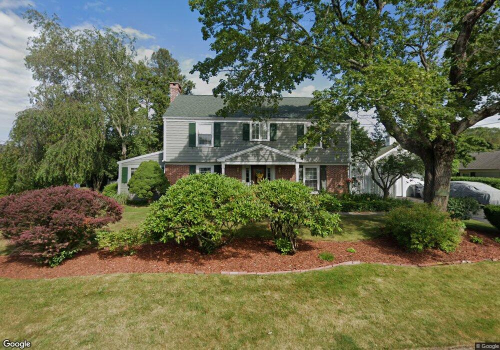
12 King Philip Rd Pawtucket, RI 02861
Darlington NeighborhoodEstimated Value: $554,077 - $670,000
4
Beds
2
Baths
2,210
Sq Ft
$282/Sq Ft
Est. Value
About This Home
This home is located at 12 King Philip Rd, Pawtucket, RI 02861 and is currently estimated at $622,769, approximately $281 per square foot. 12 King Philip Rd is a home located in Providence County with nearby schools including St Cecilia School and Saint Teresa Catholic Elementary School.
Ownership History
Date
Name
Owned For
Owner Type
Purchase Details
Closed on
Sep 9, 2021
Sold by
Linda Joy A Dvelis T
Bought by
Develis Ft
Current Estimated Value
Create a Home Valuation Report for This Property
The Home Valuation Report is an in-depth analysis detailing your home's value as well as a comparison with similar homes in the area
Home Values in the Area
Average Home Value in this Area
Purchase History
| Date | Buyer | Sale Price | Title Company |
|---|---|---|---|
| Develis Ft | -- | None Available |
Source: Public Records
Tax History Compared to Growth
Tax History
| Year | Tax Paid | Tax Assessment Tax Assessment Total Assessment is a certain percentage of the fair market value that is determined by local assessors to be the total taxable value of land and additions on the property. | Land | Improvement |
|---|---|---|---|---|
| 2025 | $5,470 | $416,000 | $154,900 | $261,100 |
| 2024 | $5,133 | $416,000 | $154,900 | $261,100 |
| 2023 | $6,608 | $390,100 | $118,400 | $271,700 |
| 2022 | $6,468 | $390,100 | $118,400 | $271,700 |
| 2021 | $6,468 | $390,100 | $118,400 | $271,700 |
| 2020 | $6,403 | $306,500 | $111,000 | $195,500 |
| 2019 | $6,403 | $306,500 | $111,000 | $195,500 |
| 2018 | $6,170 | $306,500 | $111,000 | $195,500 |
| 2017 | $6,973 | $306,900 | $105,700 | $201,200 |
| 2016 | $6,718 | $306,900 | $105,700 | $201,200 |
| 2015 | $6,718 | $306,900 | $105,700 | $201,200 |
| 2014 | $6,927 | $300,400 | $92,500 | $207,900 |
Source: Public Records
Map
Nearby Homes
- 1150 Newman Ave
- 134 Naushon Rd
- 185 Parkside Ave
- 27 Marlaine Dr
- 245 Manton St
- 245 Manton St Unit 83
- 120 Rowe Ave
- 119 Gregory Dr
- 242 Manton St
- 242 Manton #41 St
- 91 Seabiscuit Place
- 329 Pullen Ave
- 51 Benjamin St
- 95 Federal St
- 66 1st St
- 127 Ricard St
- 400 Newport Ave
- 40 Camac St
- 66 State St
- 143 Hatfield St
- 929 Armistice Blvd
- 11 Anawan Rd
- 20 King Philip Rd
- 21 Anawan Rd
- 5 Anawan Rd
- 11 King Philip Rd
- 19 King Philip Rd
- 925 Armistice Blvd
- 30 King Philip Rd
- 27 Anawan Rd
- 18 Anawan Rd
- 915 Armistice Blvd
- 496498 Armistice Blvd
- 402404 Armistice Blvd
- 33 King Philip Rd
- 24 Anawan Rd
- 28 Alexander Mcgregor Rd
- 36 King Philip Rd
- 12 Alexander Mcgregor Rd
- 35 Anawan Rd