12 Landing Way Dover, NH 03820
Dover Point NeighborhoodEstimated Value: $1,030,932 - $1,229,000
3
Beds
3
Baths
3,045
Sq Ft
$385/Sq Ft
Est. Value
About This Home
This home is located at 12 Landing Way, Dover, NH 03820 and is currently estimated at $1,172,483, approximately $385 per square foot. 12 Landing Way is a home located in Strafford County with nearby schools including Garrison School, Dover Middle School, and Dover Senior High School.
Ownership History
Date
Name
Owned For
Owner Type
Purchase Details
Closed on
Aug 26, 2022
Sold by
Quintero Janet P
Bought by
Quintero Todd A
Current Estimated Value
Purchase Details
Closed on
Aug 25, 2011
Sold by
Meehan-Tator Rosemary
Bought by
Leach Janet P
Purchase Details
Closed on
Sep 17, 1996
Sold by
Adele Bakke Ret
Bought by
Tator Rosemary
Home Financials for this Owner
Home Financials are based on the most recent Mortgage that was taken out on this home.
Original Mortgage
$270,000
Interest Rate
8.18%
Create a Home Valuation Report for This Property
The Home Valuation Report is an in-depth analysis detailing your home's value as well as a comparison with similar homes in the area
Home Values in the Area
Average Home Value in this Area
Purchase History
| Date | Buyer | Sale Price | Title Company |
|---|---|---|---|
| Quintero Todd A | -- | None Available | |
| Leach Janet P | $377,300 | -- | |
| Tator Rosemary | $300,000 | -- |
Source: Public Records
Mortgage History
| Date | Status | Borrower | Loan Amount |
|---|---|---|---|
| Previous Owner | Tator Rosemary | $270,000 |
Source: Public Records
Tax History Compared to Growth
Tax History
| Year | Tax Paid | Tax Assessment Tax Assessment Total Assessment is a certain percentage of the fair market value that is determined by local assessors to be the total taxable value of land and additions on the property. | Land | Improvement |
|---|---|---|---|---|
| 2024 | $17,171 | $945,000 | $343,100 | $601,900 |
| 2023 | $15,411 | $824,100 | $289,500 | $534,600 |
| 2022 | $15,065 | $759,300 | $279,600 | $479,700 |
| 2021 | $14,500 | $668,200 | $249,900 | $418,300 |
| 2020 | $14,376 | $578,500 | $230,200 | $348,300 |
| 2019 | $14,021 | $556,600 | $215,300 | $341,300 |
| 2018 | $13,417 | $538,400 | $200,500 | $337,900 |
| 2017 | $13,292 | $513,800 | $185,700 | $328,100 |
| 2016 | $12,346 | $469,600 | $171,100 | $298,500 |
| 2015 | $12,171 | $457,400 | $166,100 | $291,300 |
| 2014 | $11,897 | $457,400 | $166,100 | $291,300 |
| 2011 | $12,424 | $494,600 | $200,000 | $294,600 |
Source: Public Records
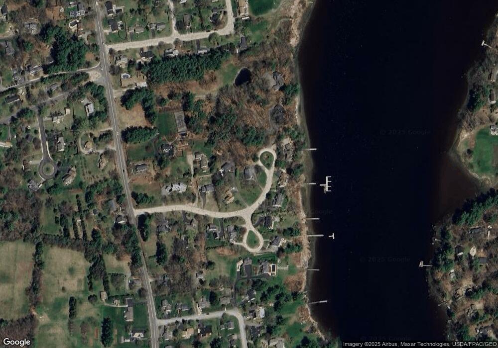
Map
Nearby Homes
- 25 Shore Ln
- 4 Shore Ln
- 25 Fosters Dr
- 708 River Rd Unit 3
- 708 River Rd Unit 2
- Slip B18 Little Bay
- 59 Clearwater Dr
- 0 Cote Dr
- 130 Dover Point Rd
- 348 Dover Point Rd
- 354 Dover Point Rd
- 1708 State Rd
- 126 Dover Point Rd
- 18 Governor Hill Rd
- 245 Piscataqua Rd
- 101 Dover Point Rd
- 30 Cedar Point Rd
- 27 Wentworth Terrace
- 93 Old Dover Point Rd Unit A
- 11 Depot Rd
- 15 Landing Way
- 10 Landing Way
- 8 Landing Way
- Lot 11 Shore Ln
- 17 Landing Way
- 13 Landing Way
- 19 Landing Way
- 6 Landing Way
- 9 Landing Way
- 11 Landing Way
- 7 Landing Way
- 222 Dover Point Rd
- 4 Landing Way
- 2 Landing Way
- 2 Landing Way Unit 2
- Lot 13 Shore Ln
- 3 Osprey Ln
- 5 Landing Way
- 4 Landing Way Unit 4
- 4 Landing Way Unit 3