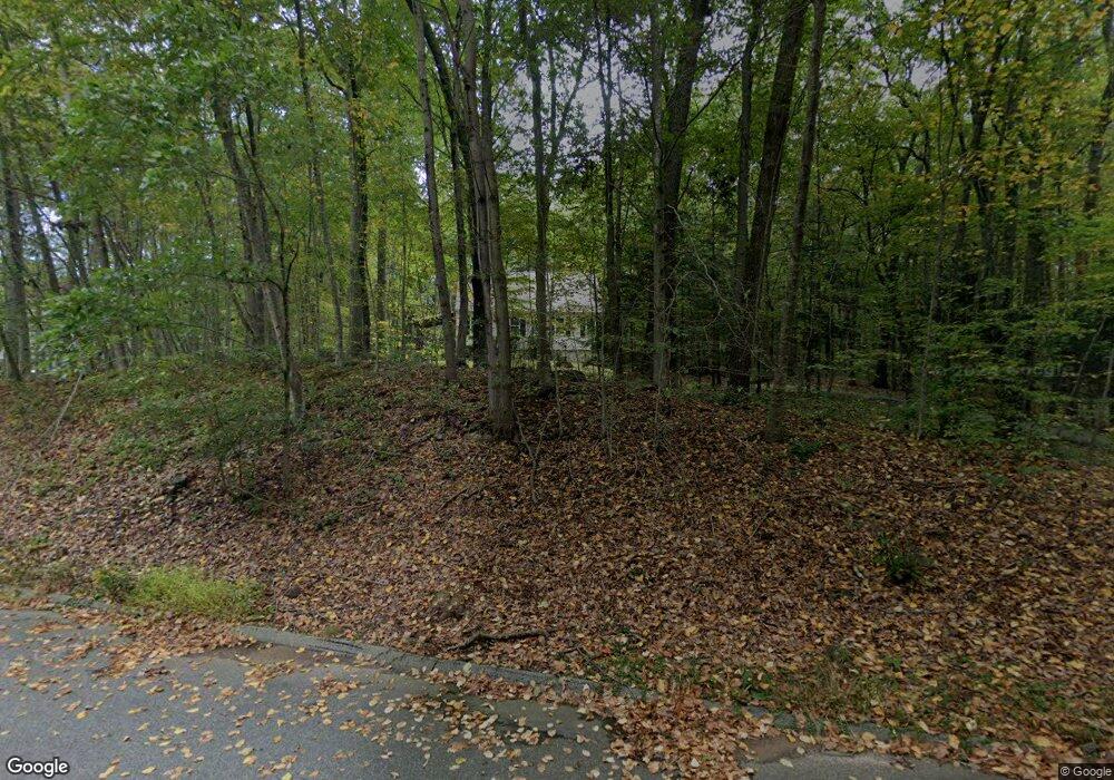
12 Lori Ln East Haddam, CT 06423
Estimated Value: $386,000 - $504,000
4
Beds
2
Baths
1,488
Sq Ft
$289/Sq Ft
Est. Value
About This Home
This home is located at 12 Lori Ln, East Haddam, CT 06423 and is currently estimated at $430,276, approximately $289 per square foot. 12 Lori Ln is a home located in Middlesex County with nearby schools including East Haddam Elementary School, Nathan Hale-Ray Middle School, and Nathan Hale-Ray High School.
Ownership History
Date
Name
Owned For
Owner Type
Purchase Details
Closed on
Mar 2, 1998
Sold by
Waz Thomas P and Waz Carole L
Bought by
Berg Scott E and Berg Lorrie A
Current Estimated Value
Purchase Details
Closed on
Oct 21, 1997
Sold by
Williams Ronald J and Quinn Margaret
Bought by
Waz Thomas P and Waz Carole L
Create a Home Valuation Report for This Property
The Home Valuation Report is an in-depth analysis detailing your home's value as well as a comparison with similar homes in the area
Home Values in the Area
Average Home Value in this Area
Purchase History
| Date | Buyer | Sale Price | Title Company |
|---|---|---|---|
| Berg Scott E | $126,000 | -- | |
| Waz Thomas P | $121,500 | -- |
Source: Public Records
Mortgage History
| Date | Status | Borrower | Loan Amount |
|---|---|---|---|
| Closed | Waz Thomas P | $50,000 | |
| Closed | Waz Thomas P | $150,000 | |
| Closed | Waz Thomas P | $140,000 | |
| Closed | Waz Thomas P | $20,000 |
Source: Public Records
Tax History Compared to Growth
Tax History
| Year | Tax Paid | Tax Assessment Tax Assessment Total Assessment is a certain percentage of the fair market value that is determined by local assessors to be the total taxable value of land and additions on the property. | Land | Improvement |
|---|---|---|---|---|
| 2025 | $5,727 | $204,100 | $94,270 | $109,830 |
| 2024 | $5,462 | $204,100 | $94,270 | $109,830 |
| 2023 | $5,256 | $204,100 | $94,270 | $109,830 |
| 2022 | $4,666 | $146,760 | $65,000 | $81,760 |
| 2021 | $4,467 | $146,760 | $65,000 | $81,760 |
| 2020 | $4,467 | $146,760 | $65,000 | $81,760 |
| 2019 | $4,467 | $146,760 | $65,000 | $81,760 |
| 2018 | $4,353 | $146,760 | $65,000 | $81,760 |
| 2017 | $4,155 | $140,450 | $70,030 | $70,420 |
| 2016 | $4,122 | $140,450 | $70,030 | $70,420 |
| 2015 | $4,028 | $140,450 | $70,030 | $70,420 |
| 2014 | $3,918 | $140,420 | $70,000 | $70,420 |
Source: Public Records
Map
Nearby Homes
- 112 Schulman Veslak Rd
- 63 Schulman Veslak Rd
- 0 Lakeside Dr
- 114 Lakeside Dr
- 206 Sheepskin Hollow Rd
- 331 Tater Hill Rd
- 317 Tater Hill Rd
- 8 Tom Rd
- 21 Olmstead Rd
- 23 Olmstead Rd
- 42 Dogwood Rd
- 53 Shanaghans Rd
- 53 Falls Bashan Rd
- 55 Bogel Rd
- 45 Alger Rd
- 0 Hopyard Rd Unit 24103236
- 253 Clark Hill Rd
- 154 Falls Rd
- 2 Acorn Dr
- 129 Salem Rd