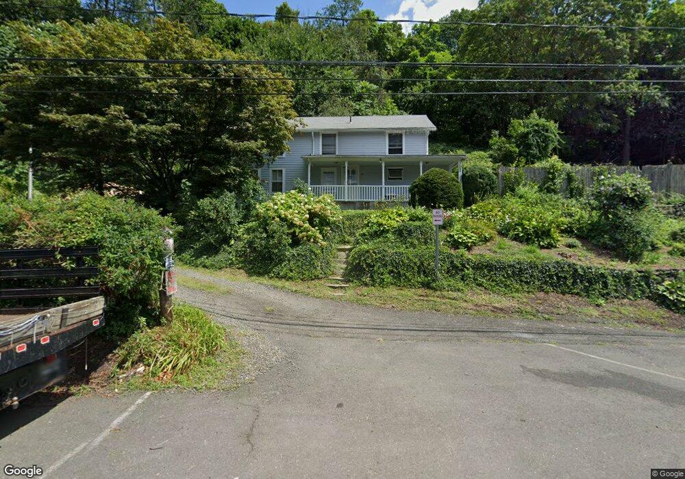
12 Main St Redding, CT 06896
Estimated Value: $412,000 - $743,000
2
Beds
1
Bath
1,328
Sq Ft
$405/Sq Ft
Est. Value
About This Home
This home is located at 12 Main St, Redding, CT 06896 and is currently estimated at $537,596, approximately $404 per square foot. 12 Main St is a home located in Fairfield County with nearby schools including Redding Elementary School, John Read Middle School, and Joel Barlow High School.
Create a Home Valuation Report for This Property
The Home Valuation Report is an in-depth analysis detailing your home's value as well as a comparison with similar homes in the area
Home Values in the Area
Average Home Value in this Area
Tax History
| Year | Tax Paid | Tax Assessment Tax Assessment Total Assessment is a certain percentage of the fair market value that is determined by local assessors to be the total taxable value of land and additions on the property. | Land | Improvement |
|---|---|---|---|---|
| 2025 | $7,234 | $244,900 | $138,400 | $106,500 |
| 2024 | $7,034 | $244,900 | $138,400 | $106,500 |
| 2023 | $6,781 | $244,900 | $138,400 | $106,500 |
| 2022 | $6,788 | $203,600 | $153,500 | $50,100 |
| 2021 | $4,347 | $203,600 | $153,500 | $50,100 |
| 2020 | $6,686 | $203,600 | $153,500 | $50,100 |
| 2019 | $6,686 | $203,600 | $153,500 | $50,100 |
| 2018 | $6,458 | $203,600 | $153,500 | $50,100 |
| 2017 | $5,646 | $190,600 | $133,500 | $57,100 |
| 2016 | $5,573 | $190,600 | $133,500 | $57,100 |
| 2015 | $5,510 | $190,600 | $133,500 | $57,100 |
| 2014 | $5,510 | $190,600 | $133,500 | $57,100 |
Source: Public Records
Map
Nearby Homes
- 64 Portland Ave
- 0 Mountain Rd
- 0 Old Mill Rd
- 20 Mountain Rd
- 852 Danbury Rd
- 00 Old Mill Rd
- 26 Wilridge Rd
- 96 Georgetown Rd
- 123A Peaceable St
- 131 Indian Hill Rd
- 78 Pin Oak Ln
- 349 Mountain Rd
- 38 Honey Hill Rd
- 15 Laurel Hill Rd
- 22 Ledgewood Rd
- 74 Seventy Acre Rd
- 299 Redding Rd
- 25 Eustis Ln
- 30 Rising Ridge Rd
- 12 Godfrey Rd W
Your Personal Tour Guide
Ask me questions while you tour the home.