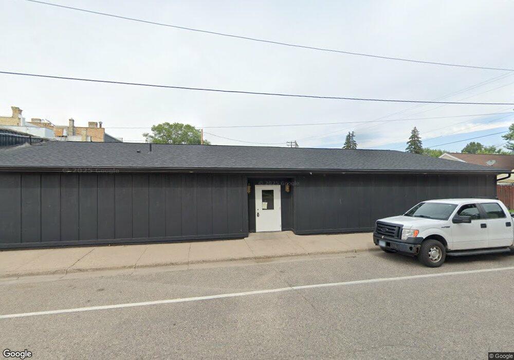
12 Main St W Richmond, MN 56368
Estimated Value: $146,187
--
Bed
--
Bath
7,028
Sq Ft
$21/Sq Ft
Est. Value
About This Home
This home is located at 12 Main St W, Richmond, MN 56368 and is currently estimated at $146,187, approximately $20 per square foot. 12 Main St W is a home located in Stearns County with nearby schools including Rocori Senior High School and Saints Peter & Paul Catholic School.
Ownership History
Date
Name
Owned For
Owner Type
Purchase Details
Closed on
Jul 30, 2024
Sold by
Dols Daniel
Bought by
Nekl Holdings Llc
Current Estimated Value
Purchase Details
Closed on
Oct 18, 2021
Sold by
M G
Bought by
Dols Daniel A
Purchase Details
Closed on
Jan 10, 2013
Sold by
Citizens Alliance Bank
Bought by
Hemmesch Gerald and Hemmesch Kathleen
Purchase Details
Closed on
Dec 8, 2003
Sold by
Cooper Kelly Etal
Bought by
River City Grill Inc
Purchase Details
Closed on
Dec 5, 2003
Sold by
Dols Germain
Bought by
Michaels On Main Inc
Purchase Details
Closed on
Dec 12, 2001
Sold by
Michaels On The Main Inc
Bought by
French Douglas Etal
Purchase Details
Closed on
Nov 26, 2001
Sold by
Dols Germain
Bought by
Michaels On Main Inc
Create a Home Valuation Report for This Property
The Home Valuation Report is an in-depth analysis detailing your home's value as well as a comparison with similar homes in the area
Home Values in the Area
Average Home Value in this Area
Purchase History
| Date | Buyer | Sale Price | Title Company |
|---|---|---|---|
| Nekl Holdings Llc | $110,000 | -- | |
| Dols Daniel A | $115,000 | First American Title | |
| Hemmesch Gerald | $57,500 | -- | |
| River City Grill Inc | $300,000 | -- | |
| Michaels On Main Inc | $325,000 | -- | |
| French Douglas Etal | $297,300 | -- | |
| Michaels On Main Inc | $325,000 | -- |
Source: Public Records
Tax History Compared to Growth
Tax History
| Year | Tax Paid | Tax Assessment Tax Assessment Total Assessment is a certain percentage of the fair market value that is determined by local assessors to be the total taxable value of land and additions on the property. | Land | Improvement |
|---|---|---|---|---|
| 2025 | $2,358 | $123,700 | $17,800 | $105,900 |
| 2024 | $2,272 | $123,700 | $17,800 | $105,900 |
| 2023 | $2,272 | $123,300 | $17,800 | $105,500 |
| 2022 | $3,742 | $157,000 | $24,900 | $132,100 |
| 2021 | $5,526 | $157,000 | $24,900 | $132,100 |
| 2020 | $6,074 | $167,500 | $24,900 | $142,600 |
| 2019 | $6,296 | $153,900 | $24,900 | $129,000 |
| 2018 | $6,926 | $149,000 | $24,900 | $124,100 |
| 2017 | $7,642 | $145,700 | $24,900 | $120,800 |
| 2016 | $7,654 | $0 | $0 | $0 |
| 2015 | $5,830 | $0 | $0 | $0 |
| 2014 | -- | $0 | $0 | $0 |
Source: Public Records
Map
Nearby Homes
- 148 Main St W
- 153 Central Ave S
- 261 Main St W
- 205 Grant Ave SW
- 448 1st St NE
- 464 Main St E
- 577 Main St W
- 22296 Hall Ave SW
- 101 Barry Loop NW
- XXX Eastfield Dr
- 22579 Fordham Rd
- 21107 State Highway 23
- 20734 Black Cherry Dr
- 21312 State Highway 22 #4
- 21312 State Highway 22 Unit 20
- 21312 State Highway 22 Unit 25
- 22314 Mallard Ct
- 20554 Elkview Ct
- 20556 Elkview Rd
- 17473 Fairway Cir