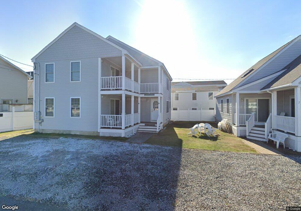
12 Manchester St Unit 6 Hampton, NH 03842
Estimated Value: $183,000 - $338,114
2
Beds
1
Bath
490
Sq Ft
$535/Sq Ft
Est. Value
About This Home
This home is located at 12 Manchester St Unit 6, Hampton, NH 03842 and is currently estimated at $262,279, approximately $535 per square foot. 12 Manchester St Unit 6 is a home located in Rockingham County with nearby schools including Hampton Centre School, Adeline C. Marston Elementary School, and Hampton Academy.
Ownership History
Date
Name
Owned For
Owner Type
Purchase Details
Closed on
Jul 14, 2009
Sold by
Larocque Thomas G
Bought by
Sullivan Mark J and Sullivan Melissa A
Current Estimated Value
Purchase Details
Closed on
Jun 12, 2003
Sold by
Lau Yit S
Bought by
Larocque Thomas G
Home Financials for this Owner
Home Financials are based on the most recent Mortgage that was taken out on this home.
Original Mortgage
$50,000
Interest Rate
5.77%
Create a Home Valuation Report for This Property
The Home Valuation Report is an in-depth analysis detailing your home's value as well as a comparison with similar homes in the area
Home Values in the Area
Average Home Value in this Area
Purchase History
| Date | Buyer | Sale Price | Title Company |
|---|---|---|---|
| Sullivan Mark J | $80,000 | -- | |
| Larocque Thomas G | $50,000 | -- |
Source: Public Records
Mortgage History
| Date | Status | Borrower | Loan Amount |
|---|---|---|---|
| Previous Owner | Larocque Thomas G | $50,000 |
Source: Public Records
Tax History Compared to Growth
Tax History
| Year | Tax Paid | Tax Assessment Tax Assessment Total Assessment is a certain percentage of the fair market value that is determined by local assessors to be the total taxable value of land and additions on the property. | Land | Improvement |
|---|---|---|---|---|
| 2024 | $2,135 | $173,300 | $0 | $173,300 |
| 2023 | $1,633 | $97,500 | $0 | $97,500 |
| 2022 | $1,544 | $97,500 | $0 | $97,500 |
| 2021 | $1,544 | $97,500 | $0 | $97,500 |
| 2020 | $1,553 | $97,500 | $0 | $97,500 |
| 2019 | $1,561 | $97,500 | $0 | $97,500 |
| 2018 | $1,488 | $87,400 | $0 | $87,400 |
| 2017 | $1,431 | $87,400 | $0 | $87,400 |
| 2016 | $1,405 | $87,400 | $0 | $87,400 |
| 2015 | $1,397 | $72,900 | $0 | $72,900 |
| 2014 | $1,335 | $72,900 | $0 | $72,900 |
Source: Public Records
Map
Nearby Homes
- 22 1/2 I St Unit 2
- 27 Hobson Ave
- 128 Ashworth Ave Unit 303
- 89 Ashworth Ave Unit 7
- 22 Perkins Ave
- 3 Perkins Ave Unit 1
- 19 F St
- 27 Perkins Ave
- 17 Johnson Ave
- 19 Riverview Terrace
- 10 Haverhill Ave Unit 1
- 10 Haverhill Ave Unit 2
- 5 Fellows Ave
- 3 Harris Ave
- 15 Ocean Blvd
- 13 Ocean Blvd
- 13-15 Ocean Blvd
- 10 Kentville Terrace
- 12 Kentville Terrace
- 190 Island Path
- 12 Manchester St Unit 5
- 12 Manchester St Unit 4
- 12 Manchester St Unit 3
- 57 Manchester St
- 5 Manchester St Unit B
- 5 Manchester St Unit A
- 7 Manchester St
- 4 Keefe Ave Unit E
- 4 Keefe Ave Unit D
- 4 Keefe Ave Unit C
- 4 Keefe Ave Unit A
- 4 Keefe Ave Unit FL1-ID1333571P
- 4 Keefe Ave Unit C
- 104 Ashworth Ave
- 9 Manchester St
- 00 Abc
- 98 Ashworth Ave
- 100 Ashworth Ave
- 10 Keefe Ave Unit 3
- 8A Keefe Ave Unit 4