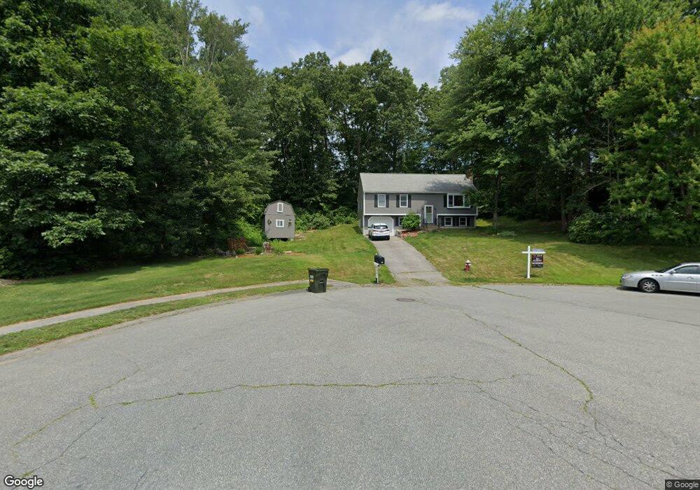
12 Marks Way Sutton, MA 01590
Estimated Value: $522,000 - $664,000
3
Beds
2
Baths
1,176
Sq Ft
$498/Sq Ft
Est. Value
About This Home
This home is located at 12 Marks Way, Sutton, MA 01590 and is currently estimated at $585,637, approximately $497 per square foot. 12 Marks Way is a home located in Worcester County with nearby schools including Sutton Elementary School, Sutton Middle School, and Sutton High School.
Ownership History
Date
Name
Owned For
Owner Type
Purchase Details
Closed on
Aug 10, 2023
Sold by
Tivnan Alix M and Tivnan Sean T
Bought by
Scholz Claudia E and Lewandowski Mark S
Current Estimated Value
Home Financials for this Owner
Home Financials are based on the most recent Mortgage that was taken out on this home.
Original Mortgage
$497,800
Outstanding Balance
$484,241
Interest Rate
6.71%
Mortgage Type
Purchase Money Mortgage
Estimated Equity
$101,396
Purchase Details
Closed on
Sep 26, 2019
Sold by
Belanger Jaryd D
Bought by
Tivnan Alix M and Tivnan Sean T
Home Financials for this Owner
Home Financials are based on the most recent Mortgage that was taken out on this home.
Original Mortgage
$327,655
Interest Rate
3.5%
Mortgage Type
New Conventional
Purchase Details
Closed on
Oct 31, 1991
Sold by
Dana Gravison Inc
Bought by
Metzger Ronald E
Create a Home Valuation Report for This Property
The Home Valuation Report is an in-depth analysis detailing your home's value as well as a comparison with similar homes in the area
Home Values in the Area
Average Home Value in this Area
Purchase History
| Date | Buyer | Sale Price | Title Company |
|---|---|---|---|
| Scholz Claudia E | $524,000 | None Available | |
| Tivnan Alix M | $344,900 | -- | |
| Metzger Ronald E | $130,000 | -- |
Source: Public Records
Mortgage History
| Date | Status | Borrower | Loan Amount |
|---|---|---|---|
| Open | Scholz Claudia E | $497,800 | |
| Previous Owner | Tivnan Alix M | $327,655 | |
| Previous Owner | Metzger Ronald E | $243,200 | |
| Previous Owner | Metzger Ronald E | $137,600 | |
| Previous Owner | Metzger Ronald E | $129,600 |
Source: Public Records
Tax History
| Year | Tax Paid | Tax Assessment Tax Assessment Total Assessment is a certain percentage of the fair market value that is determined by local assessors to be the total taxable value of land and additions on the property. | Land | Improvement |
|---|---|---|---|---|
| 2025 | $6,407 | $514,200 | $175,400 | $338,800 |
| 2024 | $6,125 | $475,200 | $167,400 | $307,800 |
| 2023 | $5,693 | $404,300 | $151,200 | $253,100 |
| 2022 | $5,266 | $339,300 | $115,200 | $224,100 |
| 2021 | $4,953 | $303,300 | $115,200 | $188,100 |
| 2020 | $4,833 | $295,600 | $115,200 | $180,400 |
| 2019 | $4,686 | $276,300 | $115,200 | $161,100 |
| 2018 | $4,537 | $266,700 | $115,200 | $151,500 |
| 2017 | $4,354 | $256,700 | $101,300 | $155,400 |
| 2016 | $4,303 | $250,900 | $101,300 | $149,600 |
| 2015 | $4,159 | $243,200 | $101,300 | $141,900 |
| 2014 | $4,093 | $234,700 | $105,500 | $129,200 |
Source: Public Records
Map
Nearby Homes
- 150 Ariel Cir
- 115 Ariel Cir
- 8 Autumn Gate Cir
- Lot 1 Cooper Rd
- 20 Millers Way Unit C
- 7 Millers Way Unit C
- 11 Coldspring Dr Unit B
- 58 Fisherville Terrace
- 55 Fisherville Terrace
- 12 Village Green
- 13 Braney Rd
- 20 Woodridge Rd
- 5 Wildflower Dr
- 90 Leland Hill Rd
- 5 Mogren Dr
- 2 Jessica j Dr
- 175 Armsby Rd
- 229 Worcester-Providence Turnpike
- 4 Jessica j Dr
- 191 Hartness Rd
- 12 Mark's Way
- 11 Marks Way
- 135 Ariel Cir
- 133 Ariel Cir
- 131 Ariel Cir
- 129 Ariel Cir
- 129 Ariel Cir Unit 129
- 133 Ariel Cir Unit 133
- 7 Marks Way
- 10 Marks Way
- 34 Ariel Cir Unit 34
- 33 Ariel Cir Unit 33
- 32 Ariel Cir Unit 32
- 44 Ariel Cir Unit 44
- 46 Ariel Cir Unit 46
- 143 Ariel Cir
- 141 Ariel Cir
- 139 Ariel Cir
- 137 Ariel Cir
- 139 Ariel Cir Unit 139