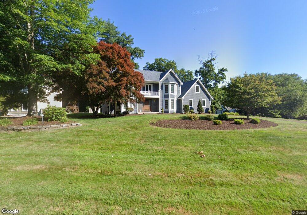
12 Mary Catherine Cir Windsor, CT 06095
West Windsor NeighborhoodEstimated Value: $566,000 - $628,000
4
Beds
3
Baths
2,799
Sq Ft
$209/Sq Ft
Est. Value
About This Home
This home is located at 12 Mary Catherine Cir, Windsor, CT 06095 and is currently estimated at $585,582, approximately $209 per square foot. 12 Mary Catherine Cir is a home located in Hartford County with nearby schools including Oliver Ellsworth School, John F. Kennedy School, and Sage Park Middle School.
Ownership History
Date
Name
Owned For
Owner Type
Purchase Details
Closed on
Mar 1, 1988
Sold by
Derekseth Corp
Bought by
Olender-Lefas Virginia
Current Estimated Value
Home Financials for this Owner
Home Financials are based on the most recent Mortgage that was taken out on this home.
Original Mortgage
$225,000
Interest Rate
10.49%
Mortgage Type
Purchase Money Mortgage
Create a Home Valuation Report for This Property
The Home Valuation Report is an in-depth analysis detailing your home's value as well as a comparison with similar homes in the area
Home Values in the Area
Average Home Value in this Area
Purchase History
| Date | Buyer | Sale Price | Title Company |
|---|---|---|---|
| Olender-Lefas Virginia | $325,517 | -- |
Source: Public Records
Mortgage History
| Date | Status | Borrower | Loan Amount |
|---|---|---|---|
| Open | Olender-Lefas Virginia | $174,400 | |
| Closed | Olender-Lefas Virginia | $105,600 | |
| Closed | Olender-Lefas Virginia | $225,000 |
Source: Public Records
Tax History
| Year | Tax Paid | Tax Assessment Tax Assessment Total Assessment is a certain percentage of the fair market value that is determined by local assessors to be the total taxable value of land and additions on the property. | Land | Improvement |
|---|---|---|---|---|
| 2025 | $9,320 | $327,600 | $73,290 | $254,310 |
| 2024 | $9,933 | $327,600 | $73,290 | $254,310 |
| 2023 | $7,437 | $221,340 | $58,030 | $163,310 |
| 2022 | $7,364 | $221,340 | $58,030 | $163,310 |
| 2021 | $7,364 | $221,340 | $58,030 | $163,310 |
| 2020 | $7,329 | $221,340 | $58,030 | $163,310 |
| 2019 | $7,167 | $221,340 | $58,030 | $163,310 |
| 2018 | $6,945 | $210,700 | $58,030 | $152,670 |
| 2017 | $6,846 | $210,980 | $58,030 | $152,950 |
| 2016 | $6,650 | $210,980 | $58,030 | $152,950 |
| 2015 | $6,524 | $210,980 | $58,030 | $152,950 |
| 2014 | $6,429 | $210,980 | $58,030 | $152,950 |
Source: Public Records
Map
Nearby Homes
- 21 Derek Ln
- 1 Deanne Lynn Cir
- 418 Pond Bridge Rd
- 308 Prospect Hill Rd
- 10 Cleary Ln
- 22 Eastview Dr
- 9 Milo Peck Ln
- 16 Cornfield Rd
- 490 Old Day Hill Rd
- 118 High Path Rd Unit 118
- 98 High Path Rd
- 58 High Path Rd Unit 58
- 268 High Path Rd Unit 268
- 943 High Path Rd Unit 943
- 87 Hilltop Rd
- 16 Hilltop Rd
- 19 Tiffany Dr
- 608 Kennedy Rd
- 105 Trent Dr
- 377 Hayden Station Rd
- 10 Mary Catherine Cir
- 11 Mary Catherine Cir
- 20 Mary Catherine Cir
- 6 Mary Catherine Cir
- 15 Mary Catherine Cir
- 5 Mary Catherine Cir
- 21 Mary Catherine Cir
- 90 Mary Catherine Cir
- 24 Mary Catherine Cir
- 8 Mary Catherine Cir
- 85 Mary Catherine Cir
- 108 Gary Lynn Ln
- 25 Mary Catherine Cir
- 86 Mary Catherine Cir
- 38 Derek Ln
- 81 Mary Catherine Cir
- 44 Derek Ln
- 33 Mary Catherine Cir
- 26 Mary Catherine Cir