12 Matthew Ln Kennebunk, ME 04043
Estimated Value: $602,000 - $684,000
4
Beds
3
Baths
2,095
Sq Ft
$303/Sq Ft
Est. Value
About This Home
This home is located at 12 Matthew Ln, Kennebunk, ME 04043 and is currently estimated at $634,516, approximately $302 per square foot. 12 Matthew Ln is a home located in York County with nearby schools including Kennebunk High School and The New School.
Create a Home Valuation Report for This Property
The Home Valuation Report is an in-depth analysis detailing your home's value as well as a comparison with similar homes in the area
Home Values in the Area
Average Home Value in this Area
Tax History Compared to Growth
Tax History
| Year | Tax Paid | Tax Assessment Tax Assessment Total Assessment is a certain percentage of the fair market value that is determined by local assessors to be the total taxable value of land and additions on the property. | Land | Improvement |
|---|---|---|---|---|
| 2024 | $5,744 | $338,900 | $72,000 | $266,900 |
| 2023 | $5,439 | $338,900 | $72,000 | $266,900 |
| 2022 | $4,948 | $338,900 | $72,000 | $266,900 |
| 2021 | $4,829 | $338,900 | $72,000 | $266,900 |
| 2020 | $4,795 | $338,900 | $72,000 | $266,900 |
| 2019 | $4,660 | $338,900 | $72,000 | $266,900 |
| 2018 | $4,449 | $254,200 | $54,000 | $200,200 |
| 2017 | $4,207 | $254,200 | $54,000 | $200,200 |
| 2016 | $4,042 | $254,200 | $54,000 | $200,200 |
| 2015 | $3,889 | $254,200 | $54,000 | $200,200 |
| 2014 | $3,788 | $254,200 | $54,000 | $200,200 |
Source: Public Records
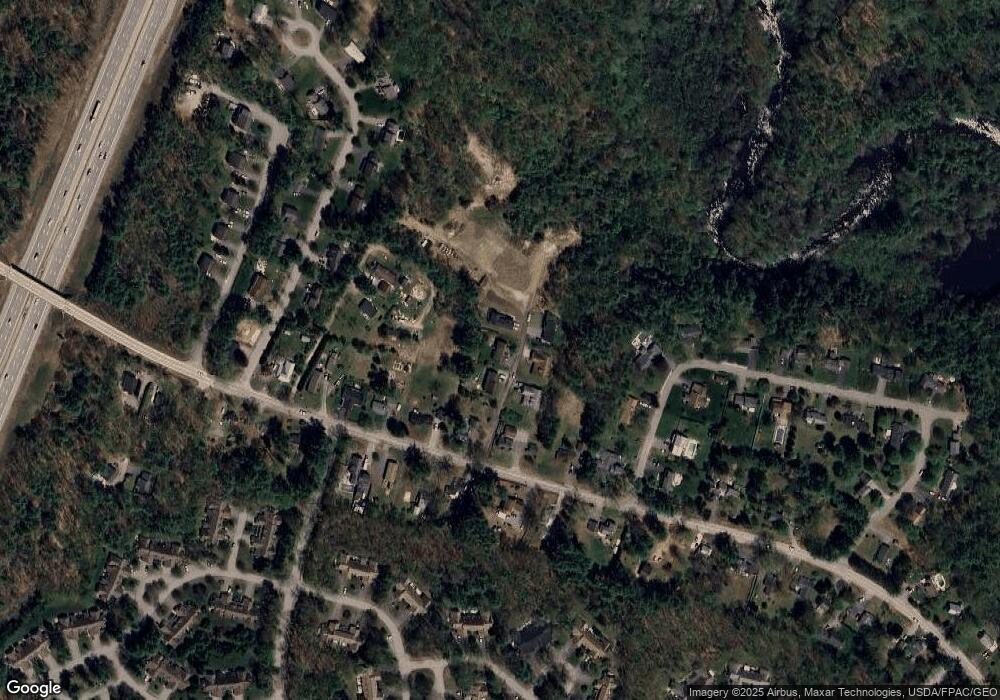
Map
Nearby Homes
- 3 Nichols Ln
- 056 Cat Mousam Rd
- 6 Dunnhill Dr Unit 28
- 23 Lilac Ln
- 3 Kensington Dr
- 29 Bentley Place Unit 50
- 9 Hampton Glen Dr Unit 3
- 22 Winchester Ct
- 17 Hampton Glen Dr Unit 5
- 108 Hampton Glen Dr Unit 108
- 25 Cambridge Ct
- 59 Plymouth Grove Unit 11
- 19 Old Alewive Rd
- 23 Cascade Cir Unit 22
- 15 Casey Ln
- 3 Hardwood Dr
- 30 Twine Mill Rd
- 61 Fletcher St
- 14 Oakwood Ln
- 16 Oakwood Ln Unit 16
- 10 Matthew Ln
- 00 Matthew Ln
- 11 Matthew Ln
- 7 Matthew Ln
- 0 Matthew Ln
- 13 Matthew Ln
- 14 Matthew Ln
- 235 Cat Mousam Rd
- 229 Cat Mousam Rd
- 237 Cat Mousam Rd
- 231 Cat Mousam Rd
- 243 Cat Mousam Rd
- 223 Cat Mousam Rd
- 5 Nichols Ln
- 241 Cat Mousam Rd
- 25 Spiller Dr
- 234 Cat Mousam Rd
- 23 Spiller Dr
- 27 Spiller Dr
- 226 Cat Mousam Rd