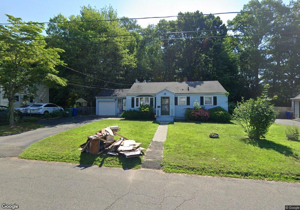
12 Mayfair Rd Bloomfield, CT 06002
Blue Hills NeighborhoodEstimated Value: $271,000 - $318,000
2
Beds
2
Baths
1,087
Sq Ft
$268/Sq Ft
Est. Value
About This Home
This home is located at 12 Mayfair Rd, Bloomfield, CT 06002 and is currently estimated at $290,982, approximately $267 per square foot. 12 Mayfair Rd is a home located in Hartford County with nearby schools including Metacomet School, Carmen Arace Intermediate School, and Laurel School.
Ownership History
Date
Name
Owned For
Owner Type
Purchase Details
Closed on
Jun 29, 2005
Sold by
Wells Fargo Bk
Bought by
Laing Allana
Current Estimated Value
Home Financials for this Owner
Home Financials are based on the most recent Mortgage that was taken out on this home.
Original Mortgage
$154,900
Outstanding Balance
$81,225
Interest Rate
5.73%
Mortgage Type
Purchase Money Mortgage
Estimated Equity
$209,757
Purchase Details
Closed on
Dec 5, 1991
Sold by
Citicorp Mtg
Bought by
Butler William
Purchase Details
Closed on
Nov 23, 1987
Sold by
Joiner Johnie
Bought by
Oliver James
Create a Home Valuation Report for This Property
The Home Valuation Report is an in-depth analysis detailing your home's value as well as a comparison with similar homes in the area
Home Values in the Area
Average Home Value in this Area
Purchase History
| Date | Buyer | Sale Price | Title Company |
|---|---|---|---|
| Laing Allana | $154,900 | -- | |
| Laing Allana | $154,900 | -- | |
| Butler William | $103,500 | -- | |
| Oliver James | $130,000 | -- |
Source: Public Records
Mortgage History
| Date | Status | Borrower | Loan Amount |
|---|---|---|---|
| Open | Oliver James | $154,900 | |
| Closed | Oliver James | $154,900 | |
| Previous Owner | Oliver James | $98,241 |
Source: Public Records
Tax History Compared to Growth
Tax History
| Year | Tax Paid | Tax Assessment Tax Assessment Total Assessment is a certain percentage of the fair market value that is determined by local assessors to be the total taxable value of land and additions on the property. | Land | Improvement |
|---|---|---|---|---|
| 2025 | $5,668 | $146,300 | $18,340 | $127,960 |
| 2024 | $3,708 | $91,350 | $19,180 | $72,170 |
| 2023 | $3,643 | $91,350 | $19,180 | $72,170 |
| 2022 | $3,383 | $91,350 | $19,180 | $72,170 |
| 2021 | $3,479 | $91,350 | $19,180 | $72,170 |
| 2020 | $3,427 | $91,350 | $19,180 | $72,170 |
| 2019 | $3,650 | $91,350 | $19,180 | $72,170 |
| 2018 | $3,219 | $80,430 | $19,180 | $61,250 |
| 2017 | $3,222 | $80,430 | $19,180 | $61,250 |
| 2016 | $3,149 | $80,430 | $19,180 | $61,250 |
| 2015 | $3,097 | $80,430 | $19,180 | $61,250 |
| 2014 | $3,458 | $92,610 | $31,500 | $61,110 |
Source: Public Records
Map
Nearby Homes
- 97 Boothbay St
- 36 Baltic St Unit 38
- 175 E Pershing St
- 10 Baltic St Unit 12
- 117 E Harold St
- 97 E Burnham St
- 11 Pershing St Unit 13
- 125 Lebanon St Unit 127
- 13 Patton Rd
- 30 Harding Ave
- 355 Cornwall St Unit 357
- 77 Harold St
- 86 Hartland St
- 90 Manchester St
- 70 Burnham St Unit 72
- 67 Elizabeth Ave
- 218 Holcomb St Unit 220
- 211 Holcomb St Unit 213
- 83 Colebrook St Unit 85
- 275 Westland St