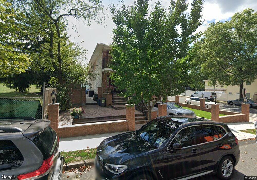
12 McDonald St Staten Island, NY 10314
Willowbrook NeighborhoodEstimated Value: $946,196 - $1,183,000
--
Bed
--
Bath
2,256
Sq Ft
$461/Sq Ft
Est. Value
About This Home
This home is located at 12 McDonald St, Staten Island, NY 10314 and is currently estimated at $1,040,549, approximately $461 per square foot. 12 McDonald St is a home located in Richmond County with nearby schools including P.S. 54 Charles W Leng, Is 72 Rocco Laurie, and Susan E Wagner High School.
Ownership History
Date
Name
Owned For
Owner Type
Purchase Details
Closed on
Jun 28, 2002
Sold by
Chaudry Naveed and Chaudry Humera
Bought by
Chaudry Naveed R and Chaudry Tanveer R
Current Estimated Value
Purchase Details
Closed on
Jun 2, 2000
Sold by
Chaudry Naveed
Bought by
Chaudry Naveed and Chaudry Humera
Home Financials for this Owner
Home Financials are based on the most recent Mortgage that was taken out on this home.
Original Mortgage
$287,688
Outstanding Balance
$103,443
Interest Rate
8.5%
Mortgage Type
FHA
Estimated Equity
$937,106
Purchase Details
Closed on
Aug 14, 1998
Sold by
Chaudry Nusrat
Bought by
Chaudry Naveed
Purchase Details
Closed on
Apr 26, 1995
Sold by
Aita Kyung Hoon
Bought by
Chaudry Nusrat and Chaudry Naveed
Home Financials for this Owner
Home Financials are based on the most recent Mortgage that was taken out on this home.
Original Mortgage
$210,900
Interest Rate
8.36%
Create a Home Valuation Report for This Property
The Home Valuation Report is an in-depth analysis detailing your home's value as well as a comparison with similar homes in the area
Home Values in the Area
Average Home Value in this Area
Purchase History
| Date | Buyer | Sale Price | Title Company |
|---|---|---|---|
| Chaudry Naveed R | -- | Fidelity Natl Title Ins Co N | |
| Chaudry Naveed | -- | Stewart Title | |
| Chaudry Naveed | -- | -- | |
| Chaudry Nusrat | $222,000 | Chicago Title Insurance Co |
Source: Public Records
Mortgage History
| Date | Status | Borrower | Loan Amount |
|---|---|---|---|
| Open | Chaudry Naveed | $287,688 | |
| Closed | Chaudry Nusrat | $210,900 |
Source: Public Records
Tax History Compared to Growth
Tax History
| Year | Tax Paid | Tax Assessment Tax Assessment Total Assessment is a certain percentage of the fair market value that is determined by local assessors to be the total taxable value of land and additions on the property. | Land | Improvement |
|---|---|---|---|---|
| 2025 | $9,486 | $60,360 | $10,865 | $49,495 |
| 2024 | $9,498 | $53,280 | $11,884 | $41,396 |
| 2023 | $9,033 | $45,878 | $10,107 | $35,771 |
| 2022 | $8,595 | $48,780 | $13,020 | $35,760 |
| 2021 | $8,531 | $51,420 | $13,020 | $38,400 |
| 2020 | $5,677 | $51,840 | $13,020 | $38,820 |
| 2019 | $5,272 | $51,840 | $13,020 | $38,820 |
| 2018 | $7,496 | $38,232 | $10,733 | $27,499 |
| 2017 | $7,259 | $37,078 | $12,228 | $24,850 |
| 2016 | $6,683 | $34,980 | $13,020 | $21,960 |
| 2015 | $6,176 | $35,580 | $10,860 | $24,720 |
| 2014 | $6,176 | $33,771 | $10,308 | $23,463 |
Source: Public Records
Map
Nearby Homes
- 15 Soren St
- 50 Bradley Ct Unit 52
- 114 Sunset Ave
- 33 Bradley Ct Unit A
- 566 Buchanan Ave Unit B
- 546 Buchanan Ave Unit B
- 17 Bradley Ct Unit A
- 148 Roosevelt Ave
- 371 Bradley Ave
- 243 Wellbrook Ave
- 5 Birchard Ave
- 240 Harold St
- 153 Graves St
- 236 Queen St
- 15 Boone St
- 51 Livingston Ave
- 380 Gansevoort Blvd
- 158 Portage Ave
- 1023 Forest Hill Rd
- 245 Martin Ave