12 Menhennett Ln Harding, PA 18643
Estimated Value: $221,326 - $305,000
--
Bed
--
Bath
1,398
Sq Ft
$185/Sq Ft
Est. Value
About This Home
This home is located at 12 Menhennett Ln, Harding, PA 18643 and is currently estimated at $258,582, approximately $184 per square foot. 12 Menhennett Ln is a home with nearby schools including Wyoming Area Secondary Center and Wyoming Area Catholic School.
Ownership History
Date
Name
Owned For
Owner Type
Purchase Details
Closed on
Nov 14, 2017
Sold by
Burgess David and Burgess Florence
Bought by
Burgess David D and Burgess Florence A
Current Estimated Value
Purchase Details
Closed on
Sep 11, 2017
Sold by
Menhennett Theresa
Bought by
Burgess David and Burgess Florence
Create a Home Valuation Report for This Property
The Home Valuation Report is an in-depth analysis detailing your home's value as well as a comparison with similar homes in the area
Home Values in the Area
Average Home Value in this Area
Purchase History
| Date | Buyer | Sale Price | Title Company |
|---|---|---|---|
| Burgess David D | -- | None Available | |
| Burgess David | $10,000 | None Available |
Source: Public Records
Tax History Compared to Growth
Tax History
| Year | Tax Paid | Tax Assessment Tax Assessment Total Assessment is a certain percentage of the fair market value that is determined by local assessors to be the total taxable value of land and additions on the property. | Land | Improvement |
|---|---|---|---|---|
| 2025 | $3,865 | $133,200 | $44,300 | $88,900 |
| 2024 | $3,694 | $133,200 | $44,300 | $88,900 |
| 2023 | $3,447 | $133,200 | $44,300 | $88,900 |
| 2022 | $3,423 | $133,200 | $44,300 | $88,900 |
| 2021 | $3,375 | $133,200 | $44,300 | $88,900 |
| 2020 | $3,295 | $133,200 | $44,300 | $88,900 |
| 2019 | $3,201 | $133,200 | $44,300 | $88,900 |
| 2018 | $3,093 | $133,200 | $44,300 | $88,900 |
| 2017 | $2,746 | $121,000 | $32,100 | $88,900 |
| 2016 | -- | $121,000 | $32,100 | $88,900 |
| 2015 | -- | $121,000 | $32,100 | $88,900 |
| 2014 | -- | $121,000 | $32,100 | $88,900 |
Source: Public Records
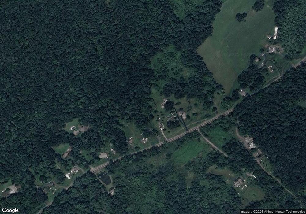
Map
Nearby Homes
- 1523 W 8th St
- 633 Campground Rd
- 41 Gashi Rd
- 750 Slocum Ave
- 5 Rowlands Ln
- 242 Pauline St
- 436 W 4th St
- 43 Hill St
- 522 Sutton Creek Rd
- 675 Apple Tree Rd
- 282 Birchwood Ct
- 215 Bennett St
- 1946 Wyoming Ave Unit 193
- 1946 Wyoming Ave Unit 197
- 162 Birchwood Village Estates
- 253 Birchwood Ct
- 1143 Old Exeter Ave
- 213 Cedar St
- 40-42 E 3rd St
- 870 Exeter Ave
- 4 Mt Zion Rd
- 1 Mt Zion Rd
- 1074 Mount Zion Rd
- 4 Menhennett Ln
- 1072 Mount Zion Rd
- 1066 Mount Zion Rd
- 1062 Mount Zion Rd
- 1056 Mount Zion Rd
- 1052 Mount Zion Rd
- 1106 Mount Zion Rd
- 305 Mount Zion Rd
- 1043 Mount Zion Rd
- 1040 Mount Zion Rd
- 1126 Mount Zion Rd
- 905 Mount Zion Rd
- Box 442 Mt Zion Rd
- 422 Mount Zion Rd
- 346 Campground Rd
- 350 Campground Rd
- 0 Public Harris Tract Rd Unit 24-3228