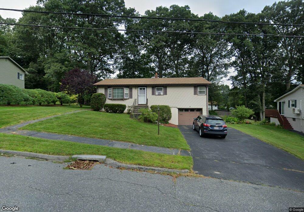
12 Mercury Dr Worcester, MA 01605
Forest Grove NeighborhoodEstimated Value: $418,204 - $491,000
3
Beds
2
Baths
1,050
Sq Ft
$442/Sq Ft
Est. Value
About This Home
This home is located at 12 Mercury Dr, Worcester, MA 01605 and is currently estimated at $464,301, approximately $442 per square foot. 12 Mercury Dr is a home located in Worcester County with nearby schools including Nelson Place Elementary School, Jacob Hiatt Magnet School, and Chandler Magnet.
Ownership History
Date
Name
Owned For
Owner Type
Purchase Details
Closed on
Oct 31, 2008
Sold by
Quitadamo Pasquale J
Bought by
Lostracco Carlo J
Current Estimated Value
Purchase Details
Closed on
May 8, 2008
Sold by
Quitadamo Barbara A and Quitadamo Michael A
Bought by
Quitadamo Pasquale J
Create a Home Valuation Report for This Property
The Home Valuation Report is an in-depth analysis detailing your home's value as well as a comparison with similar homes in the area
Home Values in the Area
Average Home Value in this Area
Purchase History
We collect this data history from publicly available records. To have your information removed, we recommend requesting removal directly through your county’s website.
| Date | Buyer | Sale Price | Title Company |
|---|---|---|---|
| Lostracco Carlo J | $207,000 | -- | |
| Quitadamo Pasquale J | -- | -- |
Source: Public Records
Tax History
| Year | Tax Paid | Tax Assessment Tax Assessment Total Assessment is a certain percentage of the fair market value that is determined by local assessors to be the total taxable value of land and additions on the property. | Land | Improvement |
|---|---|---|---|---|
| 2025 | $4,718 | $357,700 | $118,900 | $238,800 |
| 2024 | $4,701 | $341,900 | $118,900 | $223,000 |
| 2023 | $4,539 | $316,500 | $103,400 | $213,100 |
| 2022 | $4,014 | $263,900 | $82,700 | $181,200 |
| 2021 | $3,844 | $236,100 | $66,200 | $169,900 |
| 2020 | $3,692 | $217,200 | $66,200 | $151,000 |
| 2019 | $3,467 | $192,600 | $59,600 | $133,000 |
| 2018 | $3,364 | $177,900 | $59,600 | $118,300 |
| 2017 | $3,239 | $168,500 | $59,600 | $108,900 |
| 2016 | $3,137 | $152,200 | $44,100 | $108,100 |
| 2015 | $3,055 | $152,200 | $44,100 | $108,100 |
| 2014 | $2,974 | $152,200 | $44,100 | $108,100 |
Source: Public Records
Map
Nearby Homes
- 144 Holden St
- 46 Jordan Rd
- 1 Brookhaven Rd
- 97 Parkton Ave
- 7 Albemarle St
- 125 Indian Hill Rd
- 4 King Philip Trail Unit 601
- 189 Holden St
- 770 Salisbury St Unit 346
- 770 Salisbury St Unit 558
- 770 Salisbury St Unit 424
- 10 Dick Dr
- 6 Barrows Rd
- 7 Primmett Ln
- 3 Summerland Way Unit 3
- 61 Nelson Place
- 26 Whisper Dr
- 306 Fisher Rd
- 7 Tideswell Ln Unit 7
- 13 Mount Ave
Your Personal Tour Guide
Ask me questions while you tour the home.