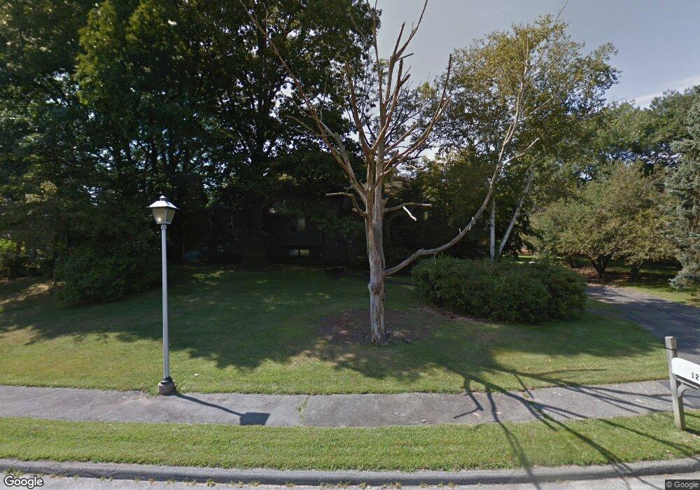
12 Midland Rd Lynnfield, MA 01940
Estimated Value: $1,092,000 - $1,212,000
4
Beds
4
Baths
2,800
Sq Ft
$412/Sq Ft
Est. Value
About This Home
This home is located at 12 Midland Rd, Lynnfield, MA 01940 and is currently estimated at $1,152,924, approximately $411 per square foot. 12 Midland Rd is a home located in Essex County with nearby schools including Lynnfield Middle School, Lynnfield High School, and Our Lady Of Assumption School.
Ownership History
Date
Name
Owned For
Owner Type
Purchase Details
Closed on
Aug 12, 2004
Sold by
Coleman Edna A and Coleman Roy J
Bought by
Munighan Robert B and Munighan Ann F
Current Estimated Value
Home Financials for this Owner
Home Financials are based on the most recent Mortgage that was taken out on this home.
Original Mortgage
$597,600
Outstanding Balance
$299,485
Interest Rate
6.16%
Mortgage Type
Purchase Money Mortgage
Estimated Equity
$853,439
Purchase Details
Closed on
May 30, 2003
Sold by
Curley Donna
Bought by
Coleman Roy J
Create a Home Valuation Report for This Property
The Home Valuation Report is an in-depth analysis detailing your home's value as well as a comparison with similar homes in the area
Home Values in the Area
Average Home Value in this Area
Purchase History
| Date | Buyer | Sale Price | Title Company |
|---|---|---|---|
| Munighan Robert B | $747,500 | -- | |
| Coleman Roy J | $700,000 | -- |
Source: Public Records
Mortgage History
| Date | Status | Borrower | Loan Amount |
|---|---|---|---|
| Open | Coleman Roy J | $50,000 | |
| Open | Coleman Roy J | $597,600 | |
| Previous Owner | Coleman Roy J | $157,000 |
Source: Public Records
Tax History
| Year | Tax Paid | Tax Assessment Tax Assessment Total Assessment is a certain percentage of the fair market value that is determined by local assessors to be the total taxable value of land and additions on the property. | Land | Improvement |
|---|---|---|---|---|
| 2025 | $11,612 | $1,099,600 | $626,100 | $473,500 |
| 2024 | $11,255 | $1,070,900 | $607,800 | $463,100 |
| 2023 | $10,860 | $961,100 | $538,400 | $422,700 |
| 2022 | $10,369 | $864,800 | $503,600 | $361,200 |
| 2021 | $10,114 | $762,200 | $416,800 | $345,400 |
| 2020 | $10,110 | $726,300 | $378,600 | $347,700 |
| 2019 | $9,788 | $703,700 | $356,000 | $347,700 |
| 2018 | $9,683 | $703,700 | $356,000 | $347,700 |
| 2017 | $9,384 | $681,000 | $356,000 | $325,000 |
| 2016 | $9,254 | $638,200 | $356,000 | $282,200 |
| 2015 | $8,300 | $572,800 | $320,200 | $252,600 |
Source: Public Records
Map
Nearby Homes
- 7 Pinewood Rd
- 2 Sachem Rd
- 15 Monson Dr
- 35 Homestead Rd
- 3 Anne Dr
- 4 Lowell St
- 9 Oxbow Rd
- 35 Lincoln Ave
- 35 Catherine Dr
- 24 Worcester Rd
- 23 Hamilton Rd
- 6 Ashley Ct
- 715 Summer St
- 33 Rockwood Rd
- 9 Tuttle Ln
- 1 Stableford Ct Unit 13
- 5 Stableford Ct Unit 11
- 3 Willard Ln
- 7 Stableford Ct Unit 10
- 9 Stableford Ct Unit 9
Your Personal Tour Guide
Ask me questions while you tour the home.