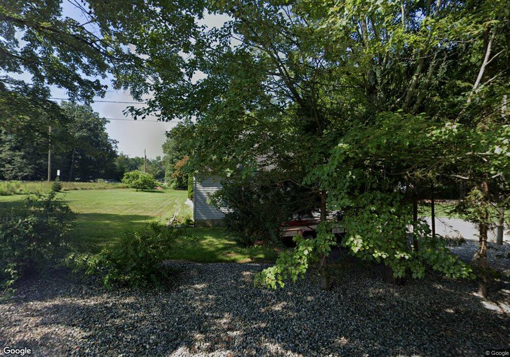
12 Mine Rd Northfield, MA 01360
Estimated Value: $365,000 - $445,000
3
Beds
2
Baths
1,830
Sq Ft
$216/Sq Ft
Est. Value
About This Home
This home is located at 12 Mine Rd, Northfield, MA 01360 and is currently estimated at $394,940, approximately $215 per square foot. 12 Mine Rd is a home located in Franklin County with nearby schools including Pioneer Valley Regional.
Ownership History
Date
Name
Owned For
Owner Type
Purchase Details
Closed on
Jun 26, 1995
Sold by
Hilliker Lawrence R and Hilliker Wanda
Bought by
Holloway James D and Holloway Holly J
Current Estimated Value
Home Financials for this Owner
Home Financials are based on the most recent Mortgage that was taken out on this home.
Original Mortgage
$76,000
Interest Rate
7.82%
Mortgage Type
Purchase Money Mortgage
Create a Home Valuation Report for This Property
The Home Valuation Report is an in-depth analysis detailing your home's value as well as a comparison with similar homes in the area
Home Values in the Area
Average Home Value in this Area
Purchase History
| Date | Buyer | Sale Price | Title Company |
|---|---|---|---|
| Holloway James D | $16,000 | -- |
Source: Public Records
Mortgage History
| Date | Status | Borrower | Loan Amount |
|---|---|---|---|
| Open | Holloway James D | $84,500 | |
| Closed | Holloway James D | $5,000 | |
| Closed | Holloway James D | $76,000 |
Source: Public Records
Tax History
| Year | Tax Paid | Tax Assessment Tax Assessment Total Assessment is a certain percentage of the fair market value that is determined by local assessors to be the total taxable value of land and additions on the property. | Land | Improvement |
|---|---|---|---|---|
| 2025 | $4,564 | $329,800 | $54,400 | $275,400 |
| 2024 | $4,354 | $320,600 | $51,400 | $269,200 |
| 2023 | $3,881 | $285,800 | $50,900 | $234,900 |
| 2022 | $3,443 | $248,600 | $50,900 | $197,700 |
| 2021 | $3,943 | $244,600 | $48,300 | $196,300 |
| 2020 | $3,860 | $232,400 | $46,100 | $186,300 |
| 2019 | $3,852 | $221,400 | $44,000 | $177,400 |
| 2018 | $3,867 | $216,500 | $44,000 | $172,500 |
| 2017 | $3,561 | $216,500 | $44,000 | $172,500 |
| 2016 | $3,440 | $216,500 | $44,000 | $172,500 |
| 2015 | $3,628 | $217,900 | $44,000 | $173,900 |
Source: Public Records
Map
Nearby Homes
- 583 Burt Hill Rd
- 14 Wood Way
- 719 Mount Hermon Station Rd
- 181 Main St
- 339 Burt Hill Rd
- 259 Bolton Rd
- 258 Bolton Rd
- 94 Main St
- 12A Parker Ave Unit A
- 22 Old Turnpike Rd
- 396 Mount Hermon Station Rd
- 56 Whitetail Dr
- 12 Wetherby Dr
- 119 Newton Hill Rd
- 406 Back Ashuelot Rd
- 0 Sears St Unit 23759828
- Lot 14 Northfield Rd
- 183 Tower Hill Rd
- 159 Ashuelot Main St
- 0, Lot 2 Flower Hill Rd
- LOT D S Mountain Rd
- LOT E S Mountain Rd
- A8 Gulf Rd
- LOT 8 River View Dr
- #15 Old Wendell Rd
- LOT A S Mountain Rd
- LOT B S Mountain Rd
- C Fisher Rd
- LOT 1 Millers Falls Rd
- LOT 1 Pentecost Rd
- LOT 1 Coller Cemetary Rd
- 148 Wanamaker Rd
- 0 Route 10 Manning Hill Unit 4171911
- 137 Wanamaker Rd
- 141 Wanamaker Rd
- 20 Mine Rd
- 147 Wanamaker Rd
- 00 Manning Hill Rd
- 0 Rt 10 Manning Hill Unit 4059143
- 89 Wanamaker Rd
Your Personal Tour Guide
Ask me questions while you tour the home.