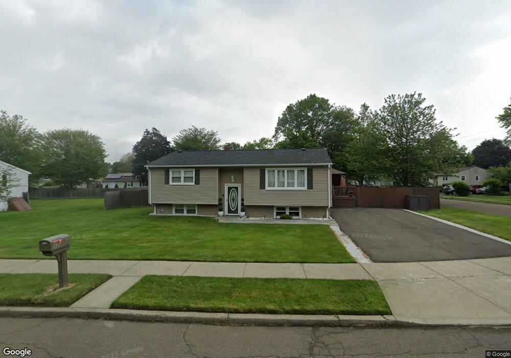
12 Miner Rd West Haven, CT 06516
West Shore NeighborhoodEstimated Value: $359,716 - $426,000
2
Beds
2
Baths
1,058
Sq Ft
$359/Sq Ft
Est. Value
About This Home
This home is located at 12 Miner Rd, West Haven, CT 06516 and is currently estimated at $379,679, approximately $358 per square foot. 12 Miner Rd is a home located in New Haven County with nearby schools including Carrigan 5/6 Intermediate School, Harry M. Bailey Middle School, and West Haven High School.
Ownership History
Date
Name
Owned For
Owner Type
Purchase Details
Closed on
Dec 3, 2003
Sold by
Launder Timothy J and Launder Paige E
Bought by
Franc Carmen Le
Current Estimated Value
Home Financials for this Owner
Home Financials are based on the most recent Mortgage that was taken out on this home.
Original Mortgage
$215,600
Outstanding Balance
$100,951
Interest Rate
6.03%
Mortgage Type
Purchase Money Mortgage
Estimated Equity
$278,728
Purchase Details
Closed on
Jun 28, 2001
Sold by
Hine Jean
Bought by
Launder Timothy J and Launder Paige E
Home Financials for this Owner
Home Financials are based on the most recent Mortgage that was taken out on this home.
Original Mortgage
$35,000
Interest Rate
7.14%
Mortgage Type
Purchase Money Mortgage
Create a Home Valuation Report for This Property
The Home Valuation Report is an in-depth analysis detailing your home's value as well as a comparison with similar homes in the area
Home Values in the Area
Average Home Value in this Area
Purchase History
| Date | Buyer | Sale Price | Title Company |
|---|---|---|---|
| Franc Carmen Le | $219,000 | -- | |
| Launder Timothy J | $80,000 | -- | |
| Franc Carmen Le | $219,000 | -- | |
| Launder Timothy J | $80,000 | -- |
Source: Public Records
Mortgage History
| Date | Status | Borrower | Loan Amount |
|---|---|---|---|
| Open | Launder Timothy J | $215,600 | |
| Closed | Launder Timothy J | $215,600 | |
| Previous Owner | Launder Timothy J | $35,000 |
Source: Public Records
Tax History
| Year | Tax Paid | Tax Assessment Tax Assessment Total Assessment is a certain percentage of the fair market value that is determined by local assessors to be the total taxable value of land and additions on the property. | Land | Improvement |
|---|---|---|---|---|
| 2025 | $7,147 | $217,420 | $78,960 | $138,460 |
| 2024 | $6,472 | $138,110 | $54,740 | $83,370 |
| 2023 | $6,229 | $138,110 | $54,740 | $83,370 |
| 2022 | $6,117 | $138,110 | $54,740 | $83,370 |
| 2021 | $6,117 | $138,110 | $54,740 | $83,370 |
| 2020 | $6,138 | $126,280 | $50,750 | $75,530 |
| 2019 | $5,943 | $126,280 | $50,750 | $75,530 |
| 2018 | $5,858 | $126,280 | $50,750 | $75,530 |
| 2017 | $5,700 | $126,280 | $50,750 | $75,530 |
| 2016 | $5,637 | $126,280 | $50,750 | $75,530 |
| 2015 | $5,779 | $144,900 | $54,040 | $90,860 |
| 2014 | $5,779 | $144,900 | $54,040 | $90,860 |
Source: Public Records
Map
Nearby Homes
- 157 Bull Hill Ln Unit 102
- 155 Bull Hill Ln Unit 201
- 53 Pheasant Rd
- 129 Cynthia Dr
- 63 Cynthia Dr
- 84 Eileen Rd
- 68 Eagle Place
- 79 Claudia Dr Unit 354
- 70 Edward St
- 120 Canton St
- 100 Prindle Rd
- 149 Canton St Unit 18
- 12 Linda St
- 51 Woody Ln
- 7 Ipswich St
- 36 Norfolk St
- 12 Collins Dr
- 70 Coleman St
- 47,47R,63,65R Coleman St
- 166 Saw Mill Rd
Your Personal Tour Guide
Ask me questions while you tour the home.