12 Monfort St Worcester, MA 01604
Union HIll NeighborhoodEstimated Value: $404,000 - $447,000
2
Beds
1
Bath
1,190
Sq Ft
$356/Sq Ft
Est. Value
About This Home
This home is located at 12 Monfort St, Worcester, MA 01604 and is currently estimated at $423,763, approximately $356 per square foot. 12 Monfort St is a home located in Worcester County with nearby schools including Jacob Hiatt Magnet School, Chandler Magnet, and Rice Square Elementary School.
Ownership History
Date
Name
Owned For
Owner Type
Purchase Details
Closed on
Jun 28, 2001
Sold by
Haddad Frederick R and Haddad Diane L
Bought by
Rabbett Kurt P and Rabbett Kathleen T
Current Estimated Value
Home Financials for this Owner
Home Financials are based on the most recent Mortgage that was taken out on this home.
Original Mortgage
$166,250
Interest Rate
7.14%
Mortgage Type
Purchase Money Mortgage
Create a Home Valuation Report for This Property
The Home Valuation Report is an in-depth analysis detailing your home's value as well as a comparison with similar homes in the area
Home Values in the Area
Average Home Value in this Area
Purchase History
| Date | Buyer | Sale Price | Title Company |
|---|---|---|---|
| Rabbett Kurt P | $175,000 | -- |
Source: Public Records
Mortgage History
| Date | Status | Borrower | Loan Amount |
|---|---|---|---|
| Open | Rabbett Kurt P | $140,000 | |
| Closed | Rabbett Kurt P | $168,000 | |
| Closed | Rabbett Kurt P | $166,250 |
Source: Public Records
Tax History Compared to Growth
Tax History
| Year | Tax Paid | Tax Assessment Tax Assessment Total Assessment is a certain percentage of the fair market value that is determined by local assessors to be the total taxable value of land and additions on the property. | Land | Improvement |
|---|---|---|---|---|
| 2025 | $5,097 | $386,400 | $98,700 | $287,700 |
| 2024 | $4,949 | $359,900 | $98,700 | $261,200 |
| 2023 | $4,835 | $337,200 | $85,800 | $251,400 |
| 2022 | $4,227 | $277,900 | $68,700 | $209,200 |
| 2021 | $4,148 | $254,800 | $54,900 | $199,900 |
| 2020 | $3,941 | $231,800 | $54,500 | $177,300 |
| 2019 | $3,823 | $212,400 | $47,700 | $164,700 |
| 2018 | $3,835 | $202,800 | $47,700 | $155,100 |
| 2017 | $3,663 | $190,600 | $47,700 | $142,900 |
| 2016 | $3,629 | $176,100 | $34,400 | $141,700 |
| 2015 | $3,534 | $176,100 | $34,400 | $141,700 |
| 2014 | $3,441 | $176,100 | $34,400 | $141,700 |
Source: Public Records
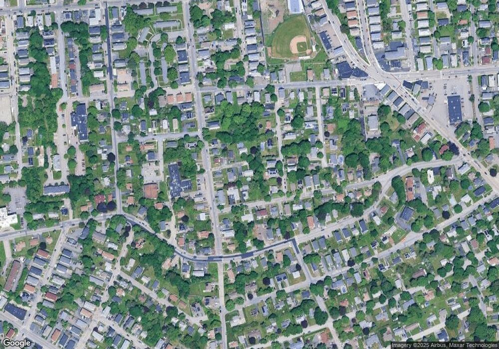
Map
Nearby Homes
- 36,38,38.5 Houghton St
- 47 Acton St
- 26 Derby St
- 4 Everton Ave
- 58 Granite St
- 8 Beaumont Rd
- 10 Rutledge St Unit 3G
- 423 Grafton St Unit 7
- 55 Mendon St
- 247 Pilgrim Ave
- 59 Barclay St
- 42 Bridgeport St
- 8 Taunton St
- 35 Houghton St
- 40 Aetna St
- 91 Standish St
- 94 Massasoit Rd
- 573 Grafton St
- 10 Lamar Ave
- 169 Fairmont Ave
- 8 Monfort St
- 9 Park Terrace Rd
- 36 Ashwood St
- 32 Ashwood St
- 7 Park Terrace Rd
- 42 Ashwood St
- 17 Monfort St
- 119 Houghton St
- 121 Houghton St
- 7 Monfort St
- 113 Houghton St
- 123 Houghton St
- 24 Ashwood St
- 125 Houghton St
- 111 Houghton St
- 127 Houghton St
- 16 Park Terrace Rd
- 14 Park Terrace Rd
- 35 Park Terrace Rd
- 10 Park Terrace Rd