Estimated Value: $739,171
4
Beds
4
Baths
4,776
Sq Ft
$155/Sq Ft
Est. Value
About This Home
This home is located at 12 N Marrs Point Rd, Wales, ME 04280 and is currently priced at $739,171, approximately $154 per square foot. 12 N Marrs Point Rd is a home located in Androscoggin County with nearby schools including Sabattus Primary School, Libby-Tozier School, and Carrie Ricker School.
Ownership History
Date
Name
Owned For
Owner Type
Purchase Details
Closed on
Sep 22, 2015
Sold by
Henry Clarence R and Henry Trinidad S
Bought by
Martel Paul J
Current Estimated Value
Home Financials for this Owner
Home Financials are based on the most recent Mortgage that was taken out on this home.
Original Mortgage
$384,750
Outstanding Balance
$302,505
Interest Rate
3.94%
Mortgage Type
New Conventional
Create a Home Valuation Report for This Property
The Home Valuation Report is an in-depth analysis detailing your home's value as well as a comparison with similar homes in the area
Home Values in the Area
Average Home Value in this Area
Purchase History
| Date | Buyer | Sale Price | Title Company |
|---|---|---|---|
| Martel Paul J | -- | -- |
Source: Public Records
Mortgage History
| Date | Status | Borrower | Loan Amount |
|---|---|---|---|
| Open | Martel Paul J | $384,750 |
Source: Public Records
Tax History Compared to Growth
Tax History
| Year | Tax Paid | Tax Assessment Tax Assessment Total Assessment is a certain percentage of the fair market value that is determined by local assessors to be the total taxable value of land and additions on the property. | Land | Improvement |
|---|---|---|---|---|
| 2024 | $10,429 | $922,890 | $342,952 | $579,938 |
| 2023 | $9,804 | $515,999 | $179,476 | $336,523 |
| 2022 | $9,004 | $515,999 | $179,476 | $336,523 |
| 2021 | $8,488 | $515,999 | $179,476 | $336,523 |
| 2020 | $2,544 | $515,999 | $179,476 | $336,523 |
| 2019 | $2,436 | $515,999 | $179,476 | $336,523 |
| 2018 | $2,436 | $515,999 | $179,476 | $336,523 |
| 2017 | $2,413 | $515,999 | $179,476 | $336,523 |
| 2016 | $8,385 | $515,999 | $179,476 | $336,523 |
| 2015 | $8,514 | $515,999 | $179,476 | $336,523 |
| 2014 | $8,617 | $515,999 | $179,476 | $336,523 |
Source: Public Records
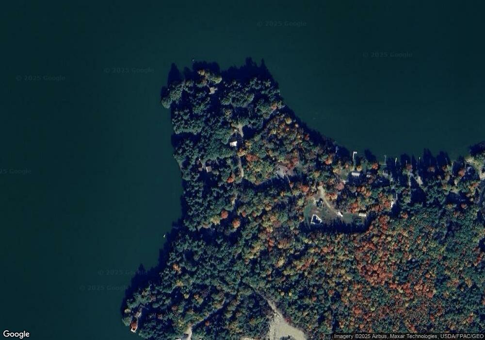
Map
Nearby Homes
- 88 Barnard Cove Rd
- 253 Bull Run Rd
- 63 Riley Rd
- 71 5th Ave Unit 15
- 148 School Rd
- 147 Greene St
- 18 Terrace View
- 49 Hemlock St
- 77 Southern Terrace
- 18 Waters Edge Dr
- 66 S South Hatch Hill Rd
- Lot# A College Rd
- 83 Phelan St
- 0 College Rd
- 41 Hidden Pond Rd
- 22 Woodside Dr
- 6 Pond Ridge Dr
- 721 U S Highway 202
- 951 U S Highway 202
- 701A U S Highway 202
- 12 N Marrs Point Rd
- 14 N Marrs Point Rd
- 12-14 N Marr's Point Rd
- 48 N Marrs Point Rd
- 126 N Marrs Point Rd
- 190 N Marrs Point Rd
- 151 Marrs Point Rd
- 36 N Marrs Point Rd
- 22 N Marrs Point Rd
- 22 N Marrs Point Rd
- 159 Marrs Point Rd
- 133 Marr's Point Rd
- 126 Marr's Point Rd
- 12 N Marr's Point Rd
- 190 Marrs Point Rd
- 121 Marrs Point Rd
- 117 N Marrs Point Rd
- 188 Marrs Point Rd
- 115 Marrs Point Rd
- 186 Marrs Point Rd