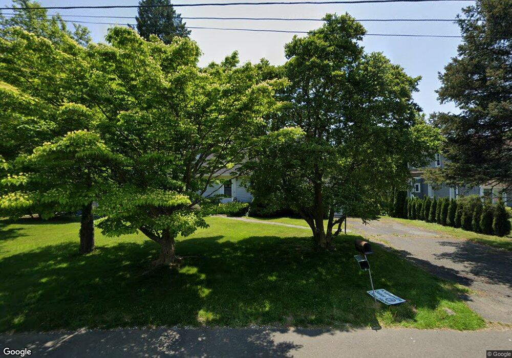
12 Nedley Ln Greenwich, CT 06831
Pemberwick NeighborhoodEstimated Value: $1,052,000 - $1,260,326
4
Beds
2
Baths
1,750
Sq Ft
$667/Sq Ft
Est. Value
About This Home
This home is located at 12 Nedley Ln, Greenwich, CT 06831 and is currently estimated at $1,167,082, approximately $666 per square foot. 12 Nedley Ln is a home located in Fairfield County with nearby schools including Glenville School, Western Middle School, and Greenwich High School.
Ownership History
Date
Name
Owned For
Owner Type
Purchase Details
Closed on
Feb 29, 2020
Sold by
Lin Handa
Bought by
Lin Handa and Lin Mei
Current Estimated Value
Home Financials for this Owner
Home Financials are based on the most recent Mortgage that was taken out on this home.
Original Mortgage
$430,000
Outstanding Balance
$379,184
Interest Rate
3.5%
Mortgage Type
New Conventional
Estimated Equity
$787,898
Purchase Details
Closed on
Jul 14, 2011
Sold by
Murgiano Charles and Murgiano Michael
Bought by
Lin Handa
Home Financials for this Owner
Home Financials are based on the most recent Mortgage that was taken out on this home.
Original Mortgage
$396,500
Interest Rate
4.58%
Mortgage Type
Purchase Money Mortgage
Purchase Details
Closed on
Mar 2, 2011
Sold by
Murgiano Charles and Murgiano Michael
Bought by
Murgiano Charles and Murgiano Michael
Create a Home Valuation Report for This Property
The Home Valuation Report is an in-depth analysis detailing your home's value as well as a comparison with similar homes in the area
Home Values in the Area
Average Home Value in this Area
Purchase History
| Date | Buyer | Sale Price | Title Company |
|---|---|---|---|
| Lin Handa | -- | None Available | |
| Lin Handa | $610,000 | -- | |
| Murgiano Charles | -- | -- |
Source: Public Records
Mortgage History
| Date | Status | Borrower | Loan Amount |
|---|---|---|---|
| Open | Lin Handa | $430,000 | |
| Previous Owner | Murgiano Charles | $238,000 | |
| Previous Owner | Murgiano Charles | $396,500 |
Source: Public Records
Tax History Compared to Growth
Tax History
| Year | Tax Paid | Tax Assessment Tax Assessment Total Assessment is a certain percentage of the fair market value that is determined by local assessors to be the total taxable value of land and additions on the property. | Land | Improvement |
|---|---|---|---|---|
| 2025 | $6,190 | $500,850 | $371,210 | $129,640 |
| 2024 | $5,978 | $500,850 | $371,210 | $129,640 |
| 2023 | $5,828 | $500,850 | $371,210 | $129,640 |
| 2022 | $5,775 | $500,850 | $371,210 | $129,640 |
| 2021 | $5,780 | $480,060 | $318,150 | $161,910 |
| 2020 | $5,770 | $480,060 | $318,150 | $161,910 |
| 2019 | $5,828 | $480,060 | $318,150 | $161,910 |
| 2018 | $5,698 | $480,060 | $318,150 | $161,910 |
| 2017 | $5,770 | $480,060 | $318,150 | $161,910 |
| 2016 | $5,679 | $480,060 | $318,150 | $161,910 |
| 2015 | $5,312 | $445,410 | $363,790 | $81,620 |
| 2014 | $5,178 | $445,410 | $363,790 | $81,620 |
Source: Public Records
Map
Nearby Homes
- 70 Glenville St
- 301 River W
- 15 Walker Ct
- 351 Pemberwick Rd Unit 111
- 26 Shady Ln
- 93 Greenwich Hills Dr
- 39 Homestead Rd
- 12 Glenville St Unit 108
- 53 Shady Ln
- 7 Curt Terrace
- 505 W Lyon Farm Dr
- 608 W Lyon Farm Dr
- 20 Woodland Dr
- 626 W Lyon Farm Dr
- 33 E Lyon Farm Dr
- 15 Rockinghorse Trail
- 53 Country Ridge Dr
- 139 Betsy Brown Rd
- 28 1/2 Pilgrim Dr
- 79 Robert Ave