12 Nimrod Farm Rd Weston, CT 06883
Estimated Value: $1,934,000 - $3,137,000
4
Beds
6
Baths
6,782
Sq Ft
$369/Sq Ft
Est. Value
About This Home
This home is located at 12 Nimrod Farm Rd, Weston, CT 06883 and is currently estimated at $2,505,658, approximately $369 per square foot. 12 Nimrod Farm Rd is a home located in Fairfield County with nearby schools including Hurlbutt Elementary School, Weston Intermediate School, and Weston Middle School.
Ownership History
Date
Name
Owned For
Owner Type
Purchase Details
Closed on
Jan 23, 2019
Sold by
Skolik Stephanie
Bought by
Skolik Helene
Current Estimated Value
Purchase Details
Closed on
Jun 21, 2010
Sold by
Barnett Larry W
Bought by
Jacobs-Skolick Helene and Jacobs-Skolick Stephanie
Create a Home Valuation Report for This Property
The Home Valuation Report is an in-depth analysis detailing your home's value as well as a comparison with similar homes in the area
Home Values in the Area
Average Home Value in this Area
Purchase History
| Date | Buyer | Sale Price | Title Company |
|---|---|---|---|
| Skolik Helene | -- | -- | |
| Jacobs-Skolick Helene | $1,725,000 | -- |
Source: Public Records
Mortgage History
| Date | Status | Borrower | Loan Amount |
|---|---|---|---|
| Previous Owner | Jacobs-Skolick Helene | $359,650 | |
| Previous Owner | Jacobs-Skolick Helene | $1,025,000 |
Source: Public Records
Tax History
| Year | Tax Paid | Tax Assessment Tax Assessment Total Assessment is a certain percentage of the fair market value that is determined by local assessors to be the total taxable value of land and additions on the property. | Land | Improvement |
|---|---|---|---|---|
| 2025 | $29,025 | $1,214,430 | $245,420 | $969,010 |
| 2024 | $28,503 | $1,214,430 | $245,420 | $969,010 |
| 2023 | $27,360 | $827,580 | $245,420 | $582,160 |
| 2022 | $27,285 | $827,580 | $245,420 | $582,160 |
| 2021 | $27,244 | $827,580 | $245,420 | $582,160 |
| 2020 | $26,845 | $829,320 | $245,410 | $583,910 |
| 2019 | $26,845 | $829,320 | $245,410 | $583,910 |
| 2018 | $26,416 | $898,800 | $274,400 | $624,400 |
| 2017 | $25,984 | $898,800 | $274,400 | $624,400 |
| 2016 | $25,670 | $898,800 | $274,400 | $624,400 |
| 2015 | $25,769 | $898,800 | $274,400 | $624,400 |
| 2014 | $25,382 | $898,800 | $274,400 | $624,400 |
Source: Public Records
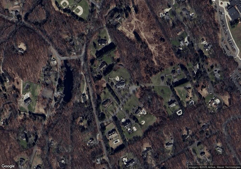
Map
Nearby Homes
- 30 Lords Hwy
- 41 Calvin Rd
- 76 Sturges Ridge Rd
- 76 Lords Hwy
- 14 Langner Ln
- 35 Joanne Ln
- 4 Trails End Rd
- 214 Good Hill Rd
- 15 Mountain View Dr
- 28 Old Orchard Dr
- 12 Godfrey Rd W
- 39 Tannery Ln S
- 290 Newtown Turnpike
- 4 Good Hill Rd
- 274 Lyons Plain Rd
- 25 Cherry Ln
- 10 Pheasant Hill Rd
- 4 Colony Rd
- 198 Steep Hill Rd
- 126 Heather Ln
- 4 Nimrod Farm Rd
- 8 Nimrod Farm Rd
- 11 Nimrod Farm Rd
- 7 Nimrod Farm Rd
- 1 Nimrod Farm Rd
- 138 Newtown Turnpike
- 15 Nimrod Farm Rd
- 14 Nimrod Farm Rd
- 252 Weston Rd
- 1 Waterbury St
- 7 Waterbury St
- 412 Georgetown Rd
- 248 Weston Rd
- 130 Newtown Turnpike
- 5 Old Mill Rd
- 17 Nimrod Farm Rd
- 8 Wood Hill Rd
- 1 Old Mill Rd
- 12 Old Mill Rd
- 23 Tobacco Rd
Your Personal Tour Guide
Ask me questions while you tour the home.