12 Northgate Ct North Grafton, MA 01536
Estimated Value: $568,000 - $627,000
3
Beds
3
Baths
1,864
Sq Ft
$322/Sq Ft
Est. Value
About This Home
This home is located at 12 Northgate Ct, North Grafton, MA 01536 and is currently estimated at $600,777, approximately $322 per square foot. 12 Northgate Ct is a home located in Worcester County with nearby schools including Grafton High School, Silver Spruce Montessori School, and Al-Hamra Academy.
Ownership History
Date
Name
Owned For
Owner Type
Purchase Details
Closed on
Nov 26, 2014
Sold by
Papp Nancy E
Bought by
Putnam Cale C and Putnam Elizabeth
Current Estimated Value
Home Financials for this Owner
Home Financials are based on the most recent Mortgage that was taken out on this home.
Original Mortgage
$240,000
Outstanding Balance
$184,379
Interest Rate
4%
Mortgage Type
New Conventional
Estimated Equity
$416,398
Purchase Details
Closed on
Jun 2, 2005
Sold by
Tucker Louise P
Bought by
Papp Nancy E
Create a Home Valuation Report for This Property
The Home Valuation Report is an in-depth analysis detailing your home's value as well as a comparison with similar homes in the area
Home Values in the Area
Average Home Value in this Area
Purchase History
| Date | Buyer | Sale Price | Title Company |
|---|---|---|---|
| Putnam Cale C | $300,000 | -- | |
| Papp Nancy E | $431,000 | -- |
Source: Public Records
Mortgage History
| Date | Status | Borrower | Loan Amount |
|---|---|---|---|
| Open | Putnam Cale C | $240,000 |
Source: Public Records
Tax History Compared to Growth
Tax History
| Year | Tax Paid | Tax Assessment Tax Assessment Total Assessment is a certain percentage of the fair market value that is determined by local assessors to be the total taxable value of land and additions on the property. | Land | Improvement |
|---|---|---|---|---|
| 2025 | $7,784 | $558,400 | $0 | $558,400 |
| 2024 | $7,610 | $531,800 | $0 | $531,800 |
| 2023 | $6,945 | $442,100 | $0 | $442,100 |
| 2022 | $6,229 | $369,000 | $0 | $369,000 |
| 2021 | $6,339 | $369,000 | $0 | $369,000 |
| 2020 | $5,795 | $351,200 | $0 | $351,200 |
| 2019 | $5,410 | $324,700 | $0 | $324,700 |
| 2018 | $5,486 | $330,700 | $0 | $330,700 |
| 2017 | $6,180 | $376,800 | $0 | $376,800 |
| 2016 | $5,251 | $313,500 | $0 | $313,500 |
| 2015 | $5,118 | $310,200 | $0 | $310,200 |
| 2014 | $4,734 | $310,200 | $0 | $310,200 |
Source: Public Records
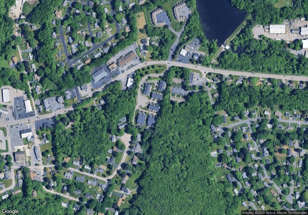
Map
Nearby Homes
- 14 Northgate Ct Unit 14
- 194 Worcester St
- 11 Hovey Pond Dr Unit 11
- 7 Hovey Pond Dr Unit 7
- 22 Beverly Rd
- 17 Hingham Rd
- 44 Meadow Ln
- 76 Samuel Dr
- 4 Westboro Rd
- 21 Lordvale Blvd Unit 406
- 5 Lincoln Ln Unit 5
- 1 Hastings Ave
- 28 Lincoln Ln
- 46 John Dr Unit 46
- 5 Edward Dr
- 0 East St
- 156 Brigham Hill Rd
- 3 Abby Rd
- 15 Windle Ave
- 4 Winslow Ln Unit 1410
- 3 Northgate Ct Unit 2
- 25 Northgate Ct
- 24 Northgate Ct
- 22 Northgate Ct
- 21 Northgate Ct
- 19 Northgate Ct
- 20 Northgate Ct
- 17 Northgate Ct
- 15 Northgate Ct
- 9 Northgate Ct
- 7 Northgate Ct
- 3 Northgate Ct
- 1 Northgate Ct
- 21 Northgate Ct Unit 16-C
- 21 Northgate Ct Unit 21
- 9 Northgate Ct Unit 9
- 3 Northgate Ct Unit 3
- 7 Northgate Ct Unit 7
- 17 Northgate Ct Unit 3,9
- 22 Northgate Ct Unit 6,17