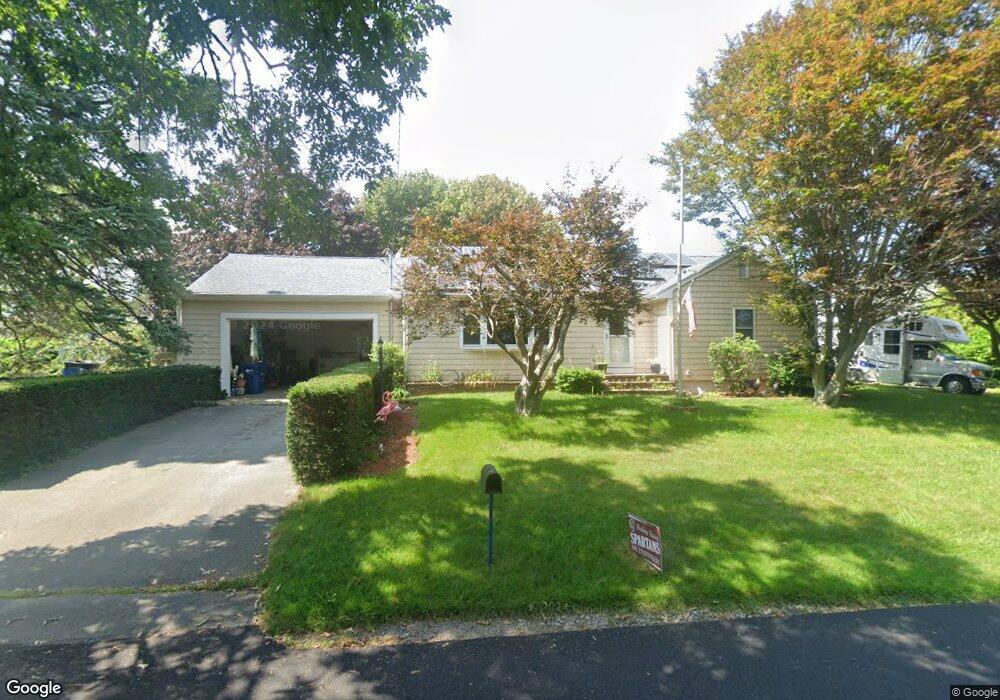
12 Orchard St Fairhaven, MA 02719
Pope Beach NeighborhoodEstimated Value: $481,000 - $522,084
3
Beds
1
Bath
1,300
Sq Ft
$388/Sq Ft
Est. Value
About This Home
This home is located at 12 Orchard St, Fairhaven, MA 02719 and is currently estimated at $505,021, approximately $388 per square foot. 12 Orchard St is a home located in Bristol County with nearby schools including Fairhaven High School, City On A Hill Charter Public School New Bedford, and St. Joseph School.
Ownership History
Date
Name
Owned For
Owner Type
Purchase Details
Closed on
May 6, 2009
Sold by
Est Farias Antone Jr and Farias Debra
Bought by
Keefe 3Rd Joseph Gilbert and Keefe Ashley E
Current Estimated Value
Home Financials for this Owner
Home Financials are based on the most recent Mortgage that was taken out on this home.
Original Mortgage
$206,196
Interest Rate
4.9%
Mortgage Type
Purchase Money Mortgage
Purchase Details
Closed on
May 12, 2006
Sold by
Farias Alice and Farias Antone
Bought by
Farias Antone
Create a Home Valuation Report for This Property
The Home Valuation Report is an in-depth analysis detailing your home's value as well as a comparison with similar homes in the area
Home Values in the Area
Average Home Value in this Area
Purchase History
| Date | Buyer | Sale Price | Title Company |
|---|---|---|---|
| Keefe 3Rd Joseph Gilbert | $210,338 | -- | |
| Farias Antone | -- | -- |
Source: Public Records
Mortgage History
| Date | Status | Borrower | Loan Amount |
|---|---|---|---|
| Open | Farias Antone | $224,321 | |
| Closed | Farias Antone | $206,196 |
Source: Public Records
Tax History Compared to Growth
Tax History
| Year | Tax Paid | Tax Assessment Tax Assessment Total Assessment is a certain percentage of the fair market value that is determined by local assessors to be the total taxable value of land and additions on the property. | Land | Improvement |
|---|---|---|---|---|
| 2025 | $38 | $410,100 | $175,900 | $234,200 |
| 2024 | $3,533 | $382,800 | $175,900 | $206,900 |
| 2023 | $3,385 | $340,200 | $154,100 | $186,100 |
| 2022 | $3,199 | $313,000 | $143,200 | $169,800 |
| 2021 | $3,055 | $270,600 | $129,600 | $141,000 |
| 2020 | $2,993 | $270,600 | $129,600 | $141,000 |
| 2019 | $2,864 | $245,400 | $107,500 | $137,900 |
| 2018 | $2,754 | $234,400 | $102,300 | $132,100 |
| 2017 | $2,738 | $227,400 | $102,300 | $125,100 |
| 2016 | $2,694 | $221,200 | $102,300 | $118,900 |
| 2015 | $2,666 | $219,400 | $102,300 | $117,100 |
Source: Public Records
Map
Nearby Homes
- 190 Sconticut Neck Rd
- 70 Hathaway St
- 15 Bayview Ave
- 15 Baxter Ave
- 40 Highland Ave
- 16 Reservation Rd
- 22 John St
- 3 Harbor Mist Dr
- 19 Smith St
- 14 Summit Dr
- 389 Sconticut Neck Rd
- 17 Turner Ave
- 2 Washburn Ave
- 706 Ocean Meadows
- 8 Sunset Beach Rd
- 11 Lawton St
- 18 Maple Ave
- 450 Bridge St
- 32 Green St
- 133 Pleasant St
- 33 Orchard St
- 47 Hathaway St
- 10 Orchard St
- 29 Orchard St
- 186 Sconticut Neck Rd
- 186 Sconticut Neck Rd Unit 1
- 39 Hathaway St
- 184 Sconticut Neck Rd
- 25 Orchard St
- 37 Hathaway St
- 182 Sconticut Neck Rd
- 46 Hathaway St
- 10 Grape St
- 185 Sconticut Neck Rd
- 198 Sconticut Neck Rd
- 42 Hathaway St
- 8 Grape St
- 9 Orchard St
- 8 Orchard St
- 183 Sconticut Neck Rd