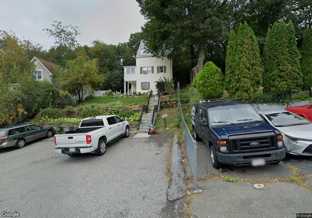
12 Overlea Ave Unit 1 Saugus, MA 01906
Cliftondale NeighborhoodEstimated Value: $629,000 - $741,000
3
Beds
2
Baths
2,030
Sq Ft
$331/Sq Ft
Est. Value
About This Home
This home is located at 12 Overlea Ave Unit 1, Saugus, MA 01906 and is currently estimated at $672,577, approximately $331 per square foot. 12 Overlea Ave Unit 1 is a home located in Essex County with nearby schools including Saugus High School, Pioneer Charter School Of Science II, and Sacred Heart School.
Ownership History
Date
Name
Owned For
Owner Type
Purchase Details
Closed on
Nov 30, 2020
Sold by
Hernandez Milton D
Bought by
Hernandez Marlin R and Hernandez Milton D
Current Estimated Value
Purchase Details
Closed on
Jun 28, 2002
Sold by
Bruke Robert T and Conners-Burke Shannon
Bought by
Chandler Carolyn J
Purchase Details
Closed on
Mar 23, 2001
Sold by
Ariniello Robert M and Ariniello Vickie E
Bought by
Burke Robert T and Conners-Burke Shannon
Create a Home Valuation Report for This Property
The Home Valuation Report is an in-depth analysis detailing your home's value as well as a comparison with similar homes in the area
Home Values in the Area
Average Home Value in this Area
Purchase History
| Date | Buyer | Sale Price | Title Company |
|---|---|---|---|
| Hernandez Marlin R | -- | None Available | |
| Chandler Carolyn J | $263,000 | -- | |
| Burke Robert T | $159,900 | -- |
Source: Public Records
Mortgage History
| Date | Status | Borrower | Loan Amount |
|---|---|---|---|
| Previous Owner | Burke Robert T | $230,000 | |
| Previous Owner | Burke Robert T | $248,000 |
Source: Public Records
Tax History Compared to Growth
Tax History
| Year | Tax Paid | Tax Assessment Tax Assessment Total Assessment is a certain percentage of the fair market value that is determined by local assessors to be the total taxable value of land and additions on the property. | Land | Improvement |
|---|---|---|---|---|
| 2025 | $5,926 | $554,900 | $302,600 | $252,300 |
| 2024 | $5,678 | $533,100 | $285,300 | $247,800 |
| 2023 | $5,544 | $492,400 | $250,700 | $241,700 |
| 2022 | $5,270 | $438,800 | $230,000 | $208,800 |
| 2021 | $4,859 | $393,800 | $199,700 | $194,100 |
| 2020 | $4,491 | $376,800 | $190,200 | $186,600 |
| 2019 | $4,379 | $359,500 | $172,900 | $186,600 |
| 2018 | $3,987 | $344,300 | $167,700 | $176,600 |
| 2017 | $3,728 | $309,400 | $156,500 | $152,900 |
| 2016 | $3,361 | $275,500 | $156,200 | $119,300 |
| 2015 | $3,153 | $262,300 | $148,700 | $113,600 |
| 2014 | $3,122 | $268,900 | $148,700 | $120,200 |
Source: Public Records
Map
Nearby Homes
- 17 Elaine Ave
- 9 Douglas Rd
- 12 Seagirt Ave
- 22 Seagirt Ave
- 0 Hampton St
- 5 Stanley Terrace
- 41-43 Seagirt Ave
- 24 Ballard St
- 25 Piedmont Ave
- 5 Springdale Ave
- 33 Springdale Ave
- 18 Nason Rd
- 9 Oakwood Ave
- 44 Ballard St
- 28 Naples Ave
- 9 Spencer Ave
- 62 Chestnut St Unit 4
- 62 Chestnut St Unit 2
- 6 Sim Rd Unit 1
- 4 Foss Ave