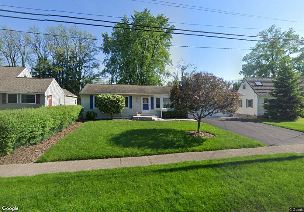
12 Packet Boat Dr Fairport, NY 14450
Estimated Value: $351,000 - $419,774
3
Beds
2
Baths
1,014
Sq Ft
$389/Sq Ft
Est. Value
About This Home
This home is located at 12 Packet Boat Dr, Fairport, NY 14450 and is currently estimated at $393,944, approximately $388 per square foot. 12 Packet Boat Dr is a home located in Monroe County with nearby schools including Jefferson Avenue Elementary School, Minerva Deland School, and Johanna Perrin Middle School.
Ownership History
Date
Name
Owned For
Owner Type
Purchase Details
Closed on
Jun 25, 2009
Sold by
Pifer Donald R and Pifer Barbara M
Bought by
Haefner James A and Haefner Jane E
Current Estimated Value
Home Financials for this Owner
Home Financials are based on the most recent Mortgage that was taken out on this home.
Original Mortgage
$115,000
Outstanding Balance
$73,321
Interest Rate
4.86%
Mortgage Type
Purchase Money Mortgage
Estimated Equity
$320,623
Purchase Details
Closed on
Jun 7, 2001
Sold by
Roe Terrylee M
Bought by
Pifer Donald R
Create a Home Valuation Report for This Property
The Home Valuation Report is an in-depth analysis detailing your home's value as well as a comparison with similar homes in the area
Home Values in the Area
Average Home Value in this Area
Purchase History
| Date | Buyer | Sale Price | Title Company |
|---|---|---|---|
| Haefner James A | $194,000 | None Available | |
| Pifer Donald R | $140,000 | Steven Pheterson |
Source: Public Records
Mortgage History
| Date | Status | Borrower | Loan Amount |
|---|---|---|---|
| Open | Haefner James A | $115,000 |
Source: Public Records
Tax History Compared to Growth
Tax History
| Year | Tax Paid | Tax Assessment Tax Assessment Total Assessment is a certain percentage of the fair market value that is determined by local assessors to be the total taxable value of land and additions on the property. | Land | Improvement |
|---|---|---|---|---|
| 2024 | $8,854 | $209,500 | $40,600 | $168,900 |
| 2023 | $8,401 | $209,500 | $40,600 | $168,900 |
| 2022 | $8,097 | $209,500 | $40,600 | $168,900 |
| 2021 | $8,097 | $209,500 | $40,600 | $168,900 |
| 2020 | $7,921 | $209,500 | $40,600 | $168,900 |
| 2019 | $5,884 | $209,500 | $28,500 | $181,000 |
| 2018 | $7,468 | $209,500 | $28,500 | $181,000 |
| 2017 | $3,931 | $194,000 | $28,500 | $165,500 |
| 2016 | $5,884 | $194,000 | $28,500 | $165,500 |
| 2015 | -- | $194,000 | $28,500 | $165,500 |
| 2014 | -- | $194,000 | $28,500 | $165,500 |
Source: Public Records
Map
Nearby Homes
- 3 Packetts Glen
- 112 Roselawn Ave
- 12 Deland Park A
- 158 N Main St
- 70 High St
- 31 Dewey Ave
- 10 Lonesome Rd
- 64 Miles Ave
- 187 S Main St
- 76 - 78 Summit St
- 603 Watson Rd
- 14 Old Winding Ln
- 15 Whitney Farms Cir
- 4 Niblick Ct
- 24 Lisand Dr
- 1331 Whitney Rd E
- 3 Brunson Way
- 30 Sunset Trail
- 11 Log Cabin Cir
- 79 Saint Andrews Blvd
- 14 Packet Boat Dr
- 10 Packet Boat Dr
- 16 Packet Boat Dr
- 8 Packet Boat Dr
- 5 Packet Boat Dr
- 7 Packet Boat Dr
- 18 Packet Boat Dr
- 9 Packet Boat Dr
- 3 Packet Boat Dr
- 6 Packet Boat Dr
- 20 Packet Boat Dr
- 4 Packet Boat Dr
- 56 Roselawn Ave
- 22 Packet Boat Dr
- 58 Roselawn Ave
- 60 Roselawn Ave
- 54 Roselawn Ave
- 2 Packet Boat Dr
- 24 Packet Boat Dr
- 42 Roselawn Ave