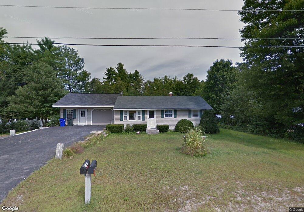
12 Palmer Rd Goffstown, NH 03045
Estimated Value: $379,000 - $500,000
4
Beds
2
Baths
960
Sq Ft
$471/Sq Ft
Est. Value
About This Home
This home is located at 12 Palmer Rd, Goffstown, NH 03045 and is currently estimated at $451,877, approximately $470 per square foot. 12 Palmer Rd is a home located in Hillsborough County with nearby schools including Mountain View Middle School and Goffstown High School.
Ownership History
Date
Name
Owned For
Owner Type
Purchase Details
Closed on
Apr 22, 2021
Sold by
Beaudoin Rejean and Beaudoin Armand
Bought by
Beaudoin Todd A
Current Estimated Value
Home Financials for this Owner
Home Financials are based on the most recent Mortgage that was taken out on this home.
Original Mortgage
$200,000
Outstanding Balance
$178,764
Interest Rate
3.05%
Mortgage Type
Purchase Money Mortgage
Estimated Equity
$273,113
Purchase Details
Closed on
Mar 8, 2006
Sold by
Sheldon William and Sheldon Deanna
Bought by
Beaudoin Armand
Purchase Details
Closed on
Aug 19, 2002
Sold by
Poirier Elizabeth and Poirier Brian
Bought by
Sheldon William and Sheldon Deanna
Home Financials for this Owner
Home Financials are based on the most recent Mortgage that was taken out on this home.
Original Mortgage
$147,600
Interest Rate
6.61%
Create a Home Valuation Report for This Property
The Home Valuation Report is an in-depth analysis detailing your home's value as well as a comparison with similar homes in the area
Home Values in the Area
Average Home Value in this Area
Purchase History
| Date | Buyer | Sale Price | Title Company |
|---|---|---|---|
| Beaudoin Todd A | $250,000 | None Available | |
| Beaudoin Armand | $199,300 | -- | |
| Sheldon William | $164,000 | -- |
Source: Public Records
Mortgage History
| Date | Status | Borrower | Loan Amount |
|---|---|---|---|
| Open | Beaudoin Todd A | $200,000 | |
| Previous Owner | Sheldon William | $147,600 |
Source: Public Records
Tax History
| Year | Tax Paid | Tax Assessment Tax Assessment Total Assessment is a certain percentage of the fair market value that is determined by local assessors to be the total taxable value of land and additions on the property. | Land | Improvement |
|---|---|---|---|---|
| 2025 | $8,484 | $406,300 | $170,500 | $235,800 |
| 2024 | $8,305 | $406,300 | $170,500 | $235,800 |
| 2023 | $7,663 | $406,300 | $170,500 | $235,800 |
| 2022 | $6,801 | $258,500 | $103,000 | $155,500 |
| 2021 | $6,416 | $258,500 | $103,000 | $155,500 |
| 2020 | $6,416 | $258,500 | $103,000 | $155,500 |
| 2019 | $6,354 | $258,500 | $103,000 | $155,500 |
| 2018 | $4,808 | $258,500 | $103,000 | $155,500 |
| 2017 | $5,846 | $213,200 | $84,600 | $128,600 |
| 2016 | $5,635 | $213,200 | $84,600 | $128,600 |
| 2015 | $5,733 | $203,600 | $76,900 | $126,700 |
| 2014 | $5,497 | $203,600 | $76,900 | $126,700 |
Source: Public Records
Map
Nearby Homes
- 129 New Boston Rd
- 47 E Union St
- 101 Elm St
- 31 Pine Crest Dr
- 120 S Mast St
- 130 Elm St
- 00 Bog Brook Rd Unit multiple
- 220 Riverdale Rd
- 234 Paige Hill Rd
- 189 Byam Rd
- Map 6 Lot 40 River Rd
- 7 Rainbow Dr
- 23 Tamar Dr
- 174 S Stark Hwy Unit 1
- 174 S Stark Hwy Unit 23
- 370 Mccurdy Rd
- 401 Wallace Rd
- 87 Juniper Dr
- 93 Daniels Rd
- 0 Fairway Dr Unit 11
Your Personal Tour Guide
Ask me questions while you tour the home.