12 Petersen Rd Brookline, NH 03033
Estimated Value: $642,000 - $752,000
4
Beds
3
Baths
2,800
Sq Ft
$243/Sq Ft
Est. Value
About This Home
This home is located at 12 Petersen Rd, Brookline, NH 03033 and is currently estimated at $679,340, approximately $242 per square foot. 12 Petersen Rd is a home located in Hillsborough County with nearby schools including Richard Maghakian Memorial School, Captain Samuel Douglass Academy, and Hollis-Brookline Middle School.
Ownership History
Date
Name
Owned For
Owner Type
Purchase Details
Closed on
Oct 15, 1999
Sold by
Glendale Homes Inc
Bought by
Elkin Gabriel R and Elkin Lynne J
Current Estimated Value
Home Financials for this Owner
Home Financials are based on the most recent Mortgage that was taken out on this home.
Original Mortgage
$201,300
Interest Rate
7.8%
Create a Home Valuation Report for This Property
The Home Valuation Report is an in-depth analysis detailing your home's value as well as a comparison with similar homes in the area
Home Values in the Area
Average Home Value in this Area
Purchase History
| Date | Buyer | Sale Price | Title Company |
|---|---|---|---|
| Elkin Gabriel R | $211,900 | -- |
Source: Public Records
Mortgage History
| Date | Status | Borrower | Loan Amount |
|---|---|---|---|
| Open | Elkin Gabriel R | $200,000 | |
| Closed | Elkin Gabriel R | $45,000 | |
| Closed | Elkin Gabriel R | $201,300 |
Source: Public Records
Tax History
| Year | Tax Paid | Tax Assessment Tax Assessment Total Assessment is a certain percentage of the fair market value that is determined by local assessors to be the total taxable value of land and additions on the property. | Land | Improvement |
|---|---|---|---|---|
| 2025 | $14,025 | $569,200 | $197,200 | $372,000 |
| 2024 | $12,870 | $569,200 | $197,200 | $372,000 |
| 2023 | $11,828 | $569,200 | $197,200 | $372,000 |
| 2022 | $10,031 | $337,500 | $112,200 | $225,300 |
| 2021 | $9,646 | $337,500 | $112,200 | $225,300 |
| 2020 | $9,383 | $337,500 | $112,200 | $225,300 |
| 2019 | $10,081 | $337,500 | $112,200 | $225,300 |
| 2018 | $9,977 | $337,500 | $112,200 | $225,300 |
| 2017 | $9,259 | $281,100 | $88,800 | $192,300 |
| 2016 | $9,325 | $286,400 | $94,100 | $192,300 |
| 2015 | $8,893 | $286,400 | $94,100 | $192,300 |
| 2014 | $9,408 | $286,400 | $94,100 | $192,300 |
| 2013 | $9,059 | $286,400 | $94,100 | $192,300 |
Source: Public Records
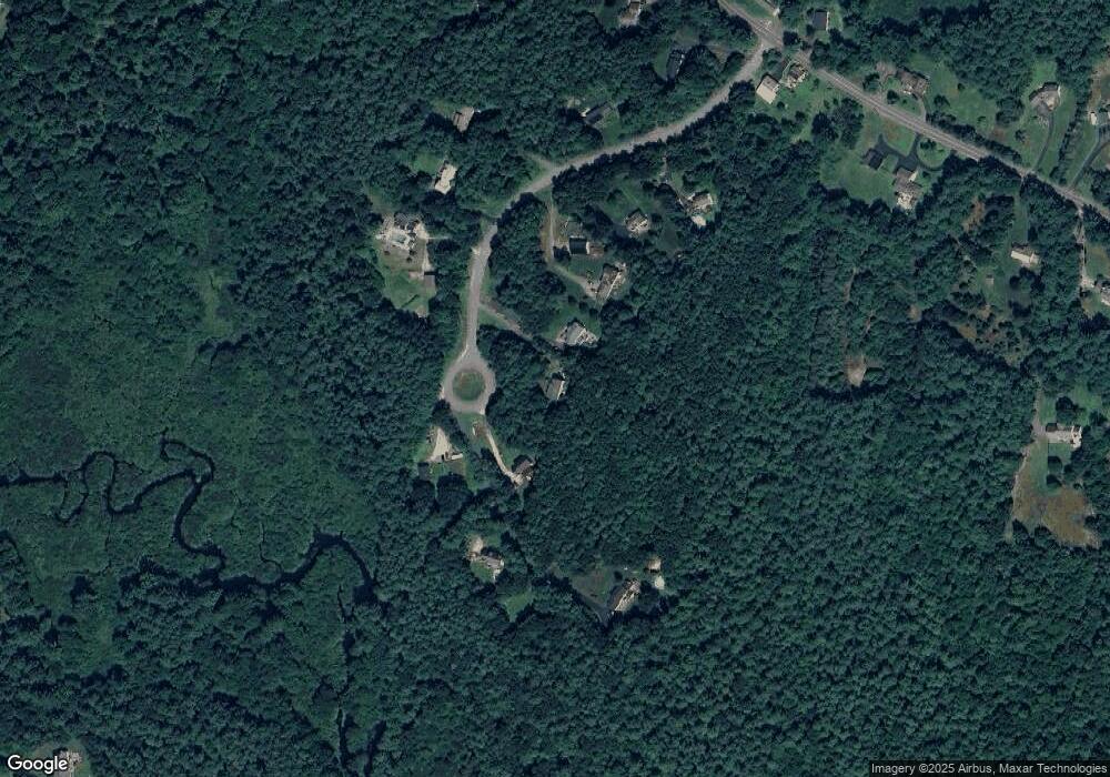
Map
Nearby Homes
- 6 Flint Meadow Dr
- 6 Skyline Dr
- 9 Bohanon Bridge Rd
- 25 Pepperell Rd
- 9 Quigley Way
- 6 High Oaks Path
- 198 N End Rd
- 131 Route 13
- 2 Everett Dr
- 4 Spaulding Ln
- 3 Winterberry Rd
- 7 Winterberry Rd
- 9 Winterberry Rd
- 147 Rocky Pond Rd
- 18 Maple St Unit 14
- 143 Heald St
- 39 Apple Ln Unit B
- 61 Russell Hill Rd
- 4 Southgate Rd
- 194 Dow Rd
- 14 Petersen Rd
- 10 Petersen Rd
- 8 Petersen Rd
- 11 Petersen Rd
- 9 Petersen Rd
- 6 Petersen Rd
- 13A Petersen Rd
- 13B Petersen Rd
- 7 Petersen Rd
- 4 Petersen Rd
- 3 Petersen Rd
- 5 Petersen Rd
- 1 Petersen Rd
- 65 Pepperell Rd
- 59 Pepperell Rd
- 67 Pepperell Rd
- 57 Pepperell Rd
- 78 Pepperell Rd
- 55 Pepperell Rd
- 80 Pepperell Rd
Your Personal Tour Guide
Ask me questions while you tour the home.