Estimated Value: $1,630,000 - $1,904,000
2
Beds
4
Baths
2,479
Sq Ft
$719/Sq Ft
Est. Value
About This Home
This home is located at 12 Pier 7, Charlestown, MA 02129 and is currently estimated at $1,782,329, approximately $718 per square foot. 12 Pier 7 is a home located in Suffolk County with nearby schools including Boston Children's School and St John School.
Ownership History
Date
Name
Owned For
Owner Type
Purchase Details
Closed on
Jun 6, 2022
Sold by
Vonfabrice Lauren
Bought by
L Von Fabrice T 2017 and Vonfabrice
Current Estimated Value
Purchase Details
Closed on
Oct 5, 2012
Sold by
Allenbrook Michael J and Allenbrook Kathleen P
Bought by
Vonfabrice Lauren
Purchase Details
Closed on
Jul 27, 1999
Sold by
Litten C Scott
Bought by
Allenbrook Michael J and Allenbrook Kathleen P
Purchase Details
Closed on
Aug 13, 1996
Sold by
Pappas Corinne
Bought by
Litten C Scott
Purchase Details
Closed on
May 29, 1992
Sold by
Hartman Anthony B and Hartman Denise
Bought by
Pappas Corinne
Create a Home Valuation Report for This Property
The Home Valuation Report is an in-depth analysis detailing your home's value as well as a comparison with similar homes in the area
Home Values in the Area
Average Home Value in this Area
Purchase History
| Date | Buyer | Sale Price | Title Company |
|---|---|---|---|
| L Von Fabrice T 2017 | -- | None Available | |
| L Von Fabrice T 2017 | -- | None Available | |
| Vonfabrice Lauren | $1,460,000 | -- | |
| Vonfabrice Lauren | $1,460,000 | -- | |
| Allenbrook Michael J | $830,000 | -- | |
| Litten C Scott | $560,000 | -- | |
| Pappas Corinne | $435,000 | -- |
Source: Public Records
Mortgage History
| Date | Status | Borrower | Loan Amount |
|---|---|---|---|
| Previous Owner | Pappas Corinne | $470,000 | |
| Previous Owner | Pappas Corinne | $470,000 | |
| Previous Owner | Pappas Corinne | $469,000 |
Source: Public Records
Tax History Compared to Growth
Tax History
| Year | Tax Paid | Tax Assessment Tax Assessment Total Assessment is a certain percentage of the fair market value that is determined by local assessors to be the total taxable value of land and additions on the property. | Land | Improvement |
|---|---|---|---|---|
| 2025 | $19,971 | $1,724,600 | $0 | $1,724,600 |
| 2024 | $17,445 | $1,600,500 | $0 | $1,600,500 |
| 2023 | $16,371 | $1,524,300 | $0 | $1,524,300 |
| 2022 | $16,259 | $1,494,400 | $0 | $1,494,400 |
| 2021 | $15,945 | $1,494,400 | $0 | $1,494,400 |
| 2020 | $18,068 | $1,711,000 | $0 | $1,711,000 |
| 2019 | $17,682 | $1,677,600 | $0 | $1,677,600 |
| 2018 | $16,830 | $1,605,900 | $0 | $1,605,900 |
| 2017 | $14,723 | $1,390,300 | $0 | $1,390,300 |
| 2016 | $13,626 | $1,238,700 | $0 | $1,238,700 |
| 2015 | $15,811 | $1,305,600 | $0 | $1,305,600 |
| 2014 | $14,485 | $1,151,400 | $0 | $1,151,400 |
Source: Public Records
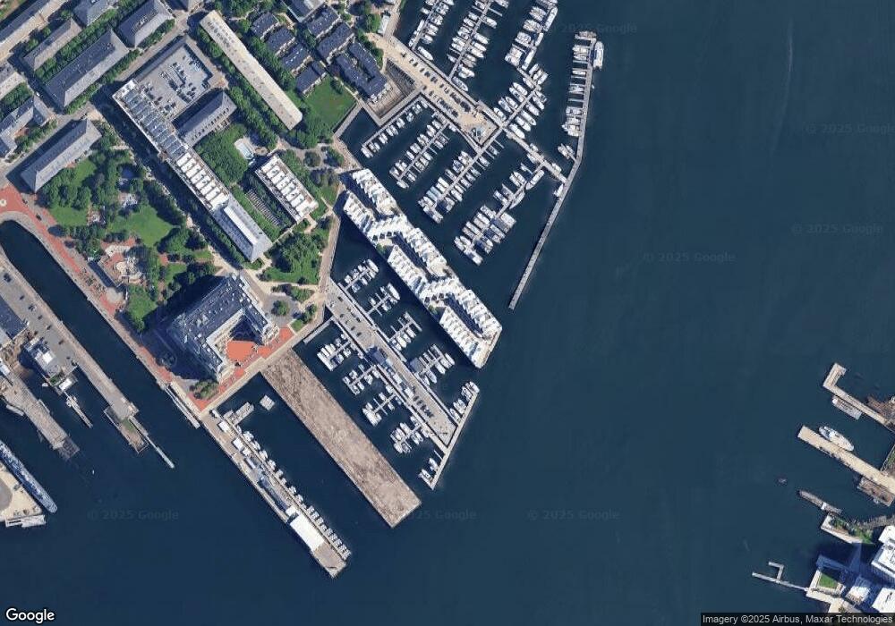
Map
Nearby Homes
- 197 8th St Unit 501
- 197 Eighth St Unit 628
- 197 Eighth St Unit 212
- 42 8th St Unit 5316
- 42 8th St Unit 4209
- 42 8th St Unit 4106
- 42 8th St Unit 1201
- 42 8th St Unit 3306
- 42 8th St Unit 2302
- 106 13th St Unit 204
- 12 Prospect St Unit 2
- 12 Prospect St Unit 1
- 73 Chelsea St Unit 401
- 3 Battery Wharf Unit 3309
- 106 Bunker Hill St Unit 2
- 106 Bunker Hill St Unit 6
- 106 Bunker Hill St Unit 1
- 106 Bunker Hill St Unit 4P
- 106 Bunker Hill St Unit 3
- 5 Wallace Ct
- 3 Constellation Wharf Unit 3
- 3 Constellation Wharf Unit 65
- 3 Constellation Wharf Unit 46
- 10 Constellation Wharf Unit 10
- 7 Constellation Wharf Unit 7
- 30 Pier 7
- 11 Pier 7
- 10 Pier 7
- 9 Pier 7
- 8 Pier 7
- 7 Pier 7
- 5 Pier 7
- 4 Pier 7
- 3 Pier 7
- 10 Pier 7 Unit 10
- 10 Constellation Wharf Unit 10
- 52 Constellation Wharf Unit 52
- 64 Constellation Wharf Unit 64
- 54 Constellation Wharf
- 54 Constellation Wharf Unit 54