12 Pierce St Hudson, MA 01749
Estimated Value: $590,000 - $683,000
3
Beds
2
Baths
1,901
Sq Ft
$330/Sq Ft
Est. Value
About This Home
This home is located at 12 Pierce St, Hudson, MA 01749 and is currently estimated at $628,262, approximately $330 per square foot. 12 Pierce St is a home located in Middlesex County with nearby schools including David J. Quinn Middle School, Hudson High School, and First Steps Children's Center.
Ownership History
Date
Name
Owned For
Owner Type
Purchase Details
Closed on
Dec 7, 2017
Sold by
Neary Stephen G and Neary Shirley M
Bought by
Neary Shirley M
Current Estimated Value
Purchase Details
Closed on
Dec 31, 1991
Sold by
Marlborough Cp
Bought by
Neary Shirley M and Neary Stephen G
Home Financials for this Owner
Home Financials are based on the most recent Mortgage that was taken out on this home.
Original Mortgage
$1,286,000
Interest Rate
8.62%
Mortgage Type
Purchase Money Mortgage
Create a Home Valuation Report for This Property
The Home Valuation Report is an in-depth analysis detailing your home's value as well as a comparison with similar homes in the area
Home Values in the Area
Average Home Value in this Area
Purchase History
| Date | Buyer | Sale Price | Title Company |
|---|---|---|---|
| Neary Shirley M | -- | -- | |
| Neary Shirley M | -- | -- | |
| Neary Shirley M | $131,000 | -- |
Source: Public Records
Mortgage History
| Date | Status | Borrower | Loan Amount |
|---|---|---|---|
| Previous Owner | Neary Shirley M | $40,000 | |
| Previous Owner | Neary Shirley M | $1,286,000 |
Source: Public Records
Tax History
| Year | Tax Paid | Tax Assessment Tax Assessment Total Assessment is a certain percentage of the fair market value that is determined by local assessors to be the total taxable value of land and additions on the property. | Land | Improvement |
|---|---|---|---|---|
| 2025 | $7,290 | $525,200 | $191,400 | $333,800 |
| 2024 | $6,958 | $497,000 | $174,000 | $323,000 |
| 2023 | $6,554 | $448,900 | $167,400 | $281,500 |
| 2022 | $6,403 | $403,700 | $152,100 | $251,600 |
| 2021 | $6,336 | $381,900 | $144,800 | $237,100 |
| 2020 | $6,297 | $379,100 | $142,000 | $237,100 |
| 2019 | $5,465 | $346,700 | $142,000 | $204,700 |
| 2018 | $5,695 | $325,400 | $135,200 | $190,200 |
| 2017 | $5,299 | $302,800 | $128,800 | $174,000 |
| 2016 | $4,928 | $285,000 | $128,800 | $156,200 |
| 2015 | $4,563 | $264,200 | $128,800 | $135,400 |
| 2014 | $4,446 | $255,200 | $112,900 | $142,300 |
Source: Public Records
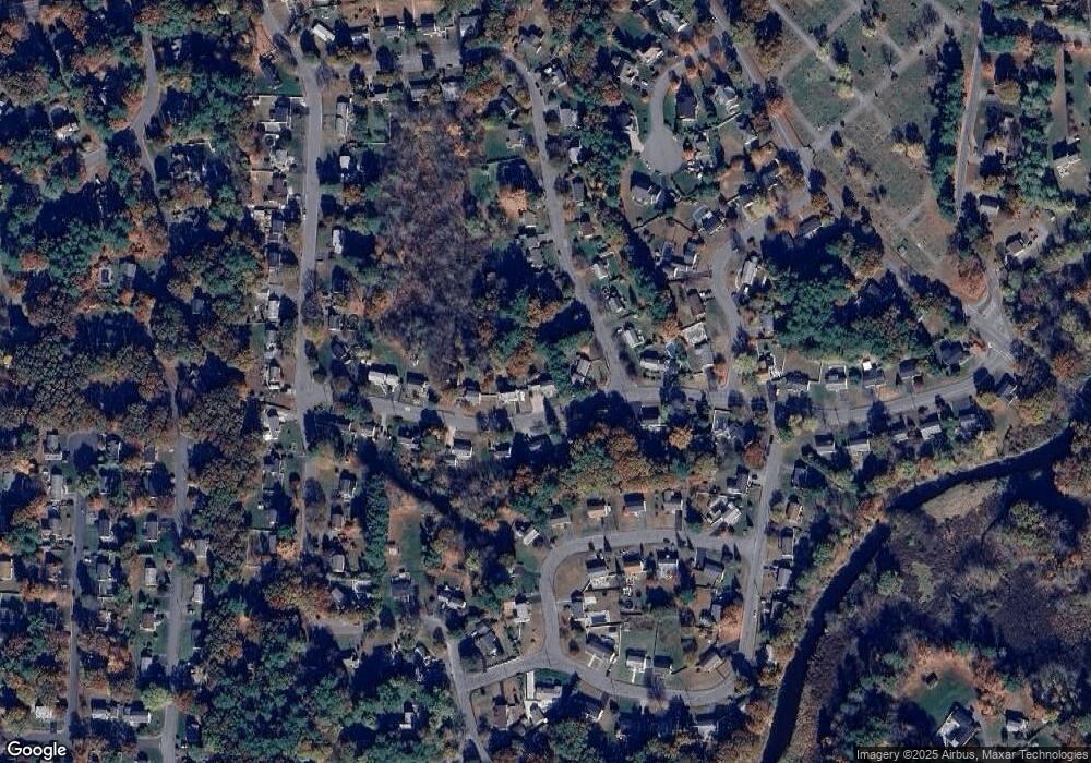
Map
Nearby Homes
- 26 Marychris Dr
- 28 Pierce St
- 12 Old County Rd Unit 20
- 37 Tower St
- 304 Cox St
- 425 Main St Unit 7C
- 425 Main St Unit 21D
- 425 Main St Unit 20D
- 26 Old Bolton Rd
- 1 Glendale Rd
- 128 Manning St
- 200 Manning St Unit 20A
- 200 Manning St Unit 6B
- 32 Stratton Dr
- 34 Forest Ave
- 11 Barracks Rd Unit 11
- 32 Barracks Rd Unit 32
- 12 Barracks Rd Unit 12
- 7 Barracks Rd Unit 7
- 5 Barracks Rd Unit 5
Your Personal Tour Guide
Ask me questions while you tour the home.