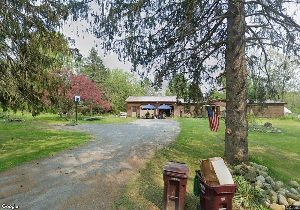
12 Polygraphic Ln North Bennington, VT 05257
Estimated Value: $265,896 - $405,000
3
Beds
2
Baths
1,487
Sq Ft
$240/Sq Ft
Est. Value
About This Home
This home is located at 12 Polygraphic Ln, North Bennington, VT 05257 and is currently estimated at $356,974, approximately $240 per square foot. 12 Polygraphic Ln is a home located in Bennington County with nearby schools including Mt. Anthony Union Middle School, Mt. Anthony Union High School, and Village School of No.Bennington.
Ownership History
Date
Name
Owned For
Owner Type
Purchase Details
Closed on
Jun 13, 2016
Sold by
Kelley Kylene J and Kelley Patricia A
Bought by
Cummings Martin and Mauricette Gail
Current Estimated Value
Purchase Details
Closed on
Jun 1, 2016
Sold by
Not Provided
Bought by
Kelley Patricia A and Kelley William E
Purchase Details
Closed on
Dec 22, 2015
Sold by
Kelley William E and Kelley Patricia A
Bought by
Kelley William E and Kelley Patricia A
Purchase Details
Closed on
Dec 1, 2013
Sold by
Sweet Leigh M
Bought by
Kelley Patricia A and Kelley William E
Create a Home Valuation Report for This Property
The Home Valuation Report is an in-depth analysis detailing your home's value as well as a comparison with similar homes in the area
Home Values in the Area
Average Home Value in this Area
Purchase History
| Date | Buyer | Sale Price | Title Company |
|---|---|---|---|
| Cummings Martin | -- | -- | |
| Kelley Patricia A | -- | -- | |
| Kelley William E | -- | -- | |
| Kelley Patricia A | $60,000 | -- |
Source: Public Records
Tax History
| Year | Tax Paid | Tax Assessment Tax Assessment Total Assessment is a certain percentage of the fair market value that is determined by local assessors to be the total taxable value of land and additions on the property. | Land | Improvement |
|---|---|---|---|---|
| 2024 | -- | $142,300 | $30,900 | $111,400 |
| 2023 | -- | $142,300 | $30,900 | $111,400 |
| 2022 | $3,626 | $142,300 | $30,900 | $111,400 |
| 2021 | $2,325 | $142,300 | $30,900 | $111,400 |
| 2020 | $3,552 | $142,300 | $30,900 | $111,400 |
| 2019 | $3,417 | $142,300 | $30,900 | $111,400 |
| 2018 | $3,355 | $142,300 | $30,900 | $111,400 |
| 2017 | $960 | $142,300 | $30,900 | $111,400 |
| 2016 | $3,279 | $142,800 | $31,400 | $111,400 |
| 2015 | -- | $1,428 | $0 | $0 |
| 2014 | -- | $1,428 | $0 | $0 |
| 2013 | -- | $1,428 | $0 | $0 |
Source: Public Records
Map
Nearby Homes
- 2092 N Bennington Rd
- 1319 Vail Rd
- 726 Rice Ln
- 32-34 Sage St
- 00 Silk Rd
- 100 McCarthy Acres
- 167 Burgess Rd
- 203 Northside Dr
- 1086 West Rd
- 58 Mount Anthony Rd
- 74 Bayer Rd
- 185 State Line Rd
- 125 Farmers Inn Rd
- 130 Ipan Rd
- 16 West Rd
- 14 Robinson Ave
- 682 Fox Hill Rd
- 704 Fox Hill Rd
- 301 Northside Dr
- 49 State Line Rd
- 15 Rich Heights
- 8 Polygraphic Ln
- 207 River Rd
- 11 Rich Heights
- 9 Polygraphic Ln
- 179 River Rd
- 7 Polygraphic Ln
- 6 Polygraphic Ln
- 15 Polygraphic Ln
- 5 Polygraphic Ln
- 2 Polygraphic Ln
- 10 Rich Heights
- 3 Rich Heights
- 3 Polygraphic Ln
- 4 Rich Ln
- 246 River Rd
- 97 River Rd
- 1 Polygraphic Ln
- 59 River Rd
- 1154 Park St
Your Personal Tour Guide
Ask me questions while you tour the home.