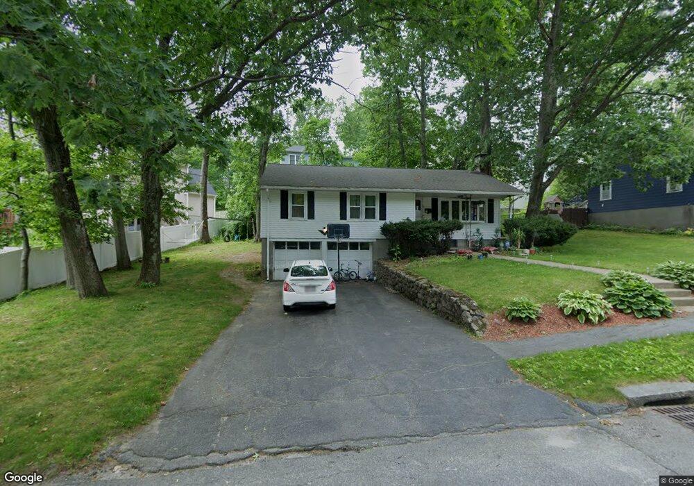
12 Pompano Rd Worcester, MA 01605
Burncoat NeighborhoodEstimated Value: $412,000 - $472,000
3
Beds
1
Bath
1,292
Sq Ft
$341/Sq Ft
Est. Value
About This Home
This home is located at 12 Pompano Rd, Worcester, MA 01605 and is currently estimated at $440,317, approximately $340 per square foot. 12 Pompano Rd is a home located in Worcester County with nearby schools including Jacob Hiatt Magnet School, Chandler Magnet, and Thorndyke Road School.
Ownership History
Date
Name
Owned For
Owner Type
Purchase Details
Closed on
Jul 28, 2010
Sold by
Figueroa Doris and Lopez Ediberto
Bought by
Figueroa Doris
Current Estimated Value
Home Financials for this Owner
Home Financials are based on the most recent Mortgage that was taken out on this home.
Original Mortgage
$194,786
Outstanding Balance
$130,133
Interest Rate
4.75%
Mortgage Type
FHA
Estimated Equity
$310,184
Purchase Details
Closed on
Dec 30, 2009
Sold by
Killoran John F and Killoran John F
Bought by
Figueroa Doris and Lopez Ediberto
Home Financials for this Owner
Home Financials are based on the most recent Mortgage that was taken out on this home.
Original Mortgage
$191,369
Interest Rate
4.85%
Mortgage Type
Purchase Money Mortgage
Create a Home Valuation Report for This Property
The Home Valuation Report is an in-depth analysis detailing your home's value as well as a comparison with similar homes in the area
Home Values in the Area
Average Home Value in this Area
Purchase History
| Date | Buyer | Sale Price | Title Company |
|---|---|---|---|
| Figueroa Doris | -- | -- | |
| Figueroa Doris | $194,900 | -- |
Source: Public Records
Mortgage History
| Date | Status | Borrower | Loan Amount |
|---|---|---|---|
| Open | Figueroa Doris | $194,786 | |
| Previous Owner | Figueroa Doris | $191,369 |
Source: Public Records
Tax History
| Year | Tax Paid | Tax Assessment Tax Assessment Total Assessment is a certain percentage of the fair market value that is determined by local assessors to be the total taxable value of land and additions on the property. | Land | Improvement |
|---|---|---|---|---|
| 2025 | $5,066 | $384,100 | $118,700 | $265,400 |
| 2024 | $4,953 | $360,200 | $118,700 | $241,500 |
| 2023 | $4,791 | $334,100 | $103,200 | $230,900 |
| 2022 | $4,245 | $279,100 | $82,600 | $196,500 |
| 2021 | $4,163 | $255,700 | $66,100 | $189,600 |
| 2020 | $3,988 | $234,600 | $66,100 | $168,500 |
| 2019 | $3,746 | $208,100 | $59,500 | $148,600 |
| 2018 | $3,625 | $191,700 | $59,500 | $132,200 |
| 2017 | $3,683 | $191,600 | $59,500 | $132,100 |
| 2016 | $3,605 | $174,900 | $43,700 | $131,200 |
| 2015 | $3,510 | $174,900 | $43,700 | $131,200 |
| 2014 | $3,418 | $174,900 | $43,700 | $131,200 |
Source: Public Records
Map
Nearby Homes
- 58 Osceola Ave
- 45 Goldthwaite Rd
- 55 Clark St
- 323 Burncoat St
- 331 Burncoat St
- 66 Eunice Ave
- 22 Huron Ave
- 13 Fatima Ln
- 15 Ericsson St
- 39 Whitmarsh Ave
- 37 Kenwood Ave
- 30 Fales St
- 30 Melrose St
- 35 Arbutus Rd
- 2 Selden St
- 17 Goucher Ave
- 655 Plantation St Unit 20B
- 30 Danielles Way
- 44 Boardman St
- 33 Denmark St
- 10 Pompano Rd
- 15 Pompano Rd
- 11 Pompano Rd
- 9 Pompano Rd
- 6 Pompano Rd
- 7 Pompano Rd
- 45 Paper Birch Path Unit 40
- 131 Longmeadow Ave
- 127 Longmeadow Ave
- 22 Stratton Rd
- 23 Hillsboro Rd Unit 10
- 23 Hillsboro Rd
- 21 Hillsboro Rd
- 5 Pompano Rd
- 19 Hillsboro Rd
- 18 Stratton Rd
- 17 Hillsboro Rd
- 123 Longmeadow Ave
- 14 Stratton Rd
- 133 Longmeadow Ave