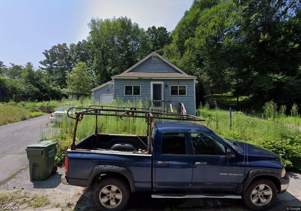
12 Prescott Rd Sutton, MA 01590
Estimated Value: $320,000 - $404,000
2
Beds
2
Baths
609
Sq Ft
$578/Sq Ft
Est. Value
About This Home
This home is located at 12 Prescott Rd, Sutton, MA 01590 and is currently estimated at $351,725, approximately $577 per square foot. 12 Prescott Rd is a home located in Worcester County with nearby schools including Sutton Elementary School, Sutton Middle School, and Sutton High School.
Ownership History
Date
Name
Owned For
Owner Type
Purchase Details
Closed on
Jan 8, 2026
Sold by
Federal Hm Loan Mtg Corp
Bought by
Agapehub Ret and Yiju
Current Estimated Value
Purchase Details
Closed on
Oct 3, 2025
Sold by
Vernon Steven B and Selene Finance Lp
Bought by
Federal Hm Loan Mtg Corp
Purchase Details
Closed on
Oct 24, 2001
Sold by
Department Of Housing & Urban Dev and Citiwest Ne Inc
Bought by
Vernon Steven B
Home Financials for this Owner
Home Financials are based on the most recent Mortgage that was taken out on this home.
Original Mortgage
$46,000
Interest Rate
6.86%
Mortgage Type
Purchase Money Mortgage
Purchase Details
Closed on
Mar 23, 2001
Sold by
Chamarczuk Christian H and Bank United Texas Fsb
Bought by
Bank United Texas Fsb
Purchase Details
Closed on
Mar 29, 1996
Sold by
Serra Carol A
Bought by
Chamarczuk Christian
Home Financials for this Owner
Home Financials are based on the most recent Mortgage that was taken out on this home.
Original Mortgage
$59,816
Interest Rate
6.9%
Mortgage Type
Purchase Money Mortgage
Create a Home Valuation Report for This Property
The Home Valuation Report is an in-depth analysis detailing your home's value as well as a comparison with similar homes in the area
Home Values in the Area
Average Home Value in this Area
Purchase History
| Date | Buyer | Sale Price | Title Company |
|---|---|---|---|
| Agapehub Ret | $111,253 | -- | |
| Federal Hm Loan Mtg Corp | $117,387 | -- | |
| Vernon Steven B | $48,500 | -- | |
| Bank United Texas Fsb | $68,846 | -- | |
| Chamarczuk Christian | $59,900 | -- |
Source: Public Records
Mortgage History
| Date | Status | Borrower | Loan Amount |
|---|---|---|---|
| Previous Owner | Chamarczuk Christian | $70,000 | |
| Previous Owner | Chamarczuk Christian | $46,000 | |
| Previous Owner | Chamarczuk Christian | $59,816 |
Source: Public Records
Tax History
| Year | Tax Paid | Tax Assessment Tax Assessment Total Assessment is a certain percentage of the fair market value that is determined by local assessors to be the total taxable value of land and additions on the property. | Land | Improvement |
|---|---|---|---|---|
| 2025 | $3,131 | $260,500 | $125,600 | $134,900 |
| 2024 | $3,207 | $252,900 | $120,200 | $132,700 |
| 2023 | $2,993 | $216,100 | $108,700 | $107,400 |
| 2022 | $2,503 | $164,900 | $86,900 | $78,000 |
| 2021 | $2,483 | $155,200 | $86,900 | $68,300 |
| 2020 | $2,461 | $155,200 | $86,900 | $68,300 |
| 2019 | $10,307 | $143,500 | $82,900 | $60,600 |
| 2018 | $13,424 | $127,700 | $70,500 | $57,200 |
| 2017 | $1,947 | $118,000 | $59,400 | $58,600 |
| 2016 | $1,933 | $115,900 | $59,400 | $56,500 |
| 2015 | $1,887 | $113,100 | $59,400 | $53,700 |
| 2014 | $1,843 | $109,200 | $57,600 | $51,600 |
Source: Public Records
Map
Nearby Homes
- 201 Prescott Rd
- 37 Bayliss Way
- 22 Bayliss Way
- 14 C St
- 2 D St
- 34 Crescent St Unit 34
- 80 Barnett Rd
- 28 Johnson Rd
- 8 Hough Rd
- 158 Purgatory Rd
- 30-32 Spring St
- 128 Linwood Ave
- 81 Rebecca Rd
- 33 Nautical Way Unit 107
- 79 Country Club Dr
- 127 Hillcrest Rd
- 208-210 Church St
- 26 Compass Point Dr Unit 26
- 36 Compass Point Dr Unit 36
- 86 Kingsnorth St
Your Personal Tour Guide
Ask me questions while you tour the home.