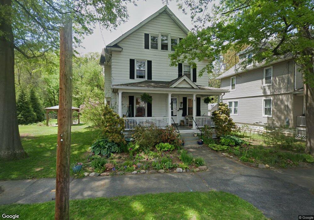
12 Primrose St West Springfield, MA 01089
Estimated Value: $319,000 - $343,861
4
Beds
2
Baths
1,668
Sq Ft
$197/Sq Ft
Est. Value
About This Home
This home is located at 12 Primrose St, West Springfield, MA 01089 and is currently estimated at $328,715, approximately $197 per square foot. 12 Primrose St is a home located in Hampden County with nearby schools including West Springfield High School, Hampden Charter School of Science West, and St Thomas The Apostle School.
Ownership History
Date
Name
Owned For
Owner Type
Purchase Details
Closed on
Sep 5, 2007
Sold by
Kaminski Norma and Morin Richard N
Bought by
Mulvaney Kathryn G and Bail Jeffrey E
Current Estimated Value
Home Financials for this Owner
Home Financials are based on the most recent Mortgage that was taken out on this home.
Original Mortgage
$146,700
Outstanding Balance
$93,687
Interest Rate
6.74%
Mortgage Type
Purchase Money Mortgage
Estimated Equity
$235,029
Create a Home Valuation Report for This Property
The Home Valuation Report is an in-depth analysis detailing your home's value as well as a comparison with similar homes in the area
Home Values in the Area
Average Home Value in this Area
Purchase History
| Date | Buyer | Sale Price | Title Company |
|---|---|---|---|
| Mulvaney Kathryn G | $163,000 | -- |
Source: Public Records
Mortgage History
| Date | Status | Borrower | Loan Amount |
|---|---|---|---|
| Open | Mulvaney Kathryn G | $146,700 |
Source: Public Records
Tax History
| Year | Tax Paid | Tax Assessment Tax Assessment Total Assessment is a certain percentage of the fair market value that is determined by local assessors to be the total taxable value of land and additions on the property. | Land | Improvement |
|---|---|---|---|---|
| 2025 | $4,229 | $284,400 | $111,800 | $172,600 |
| 2024 | $3,991 | $269,500 | $111,800 | $157,700 |
| 2023 | $3,807 | $245,000 | $111,800 | $133,200 |
| 2022 | $3,440 | $218,300 | $101,400 | $116,900 |
| 2021 | $3,366 | $199,200 | $94,900 | $104,300 |
| 2020 | $3,384 | $199,200 | $94,900 | $104,300 |
| 2019 | $3,378 | $199,200 | $94,900 | $104,300 |
| 2018 | $3,396 | $199,200 | $94,900 | $104,300 |
| 2017 | $3,396 | $199,200 | $94,900 | $104,300 |
| 2016 | $3,320 | $195,400 | $91,100 | $104,300 |
| 2015 | $3,157 | $185,800 | $89,400 | $96,400 |
| 2014 | $766 | $185,800 | $89,400 | $96,400 |
Source: Public Records
Map
Nearby Homes
Your Personal Tour Guide
Ask me questions while you tour the home.