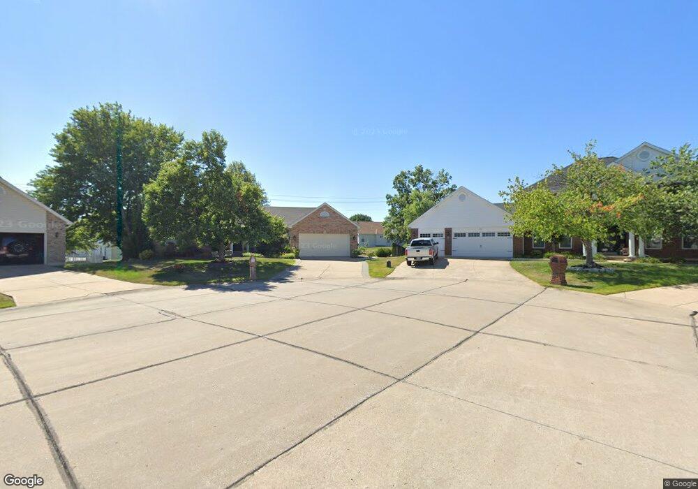
12 Quillpen Ct O Fallon, MO 63366
Estimated Value: $371,989 - $395,000
3
Beds
2
Baths
1,744
Sq Ft
$221/Sq Ft
Est. Value
About This Home
This home is located at 12 Quillpen Ct, O Fallon, MO 63366 and is currently estimated at $385,747, approximately $221 per square foot. 12 Quillpen Ct is a home located in St. Charles County with nearby schools including Rock Creek Elementary School, Fort Zumwalt West Middle School, and Fort Zumwalt West High School.
Ownership History
Date
Name
Owned For
Owner Type
Purchase Details
Closed on
Dec 30, 2020
Sold by
Zengil Ali Huseyin and Zengil Sidika Esin
Bought by
Zengil Ali H and Zengil Sidika E
Current Estimated Value
Purchase Details
Closed on
Jul 10, 2013
Sold by
Pavelski Randall E and Pavelski Sandra L
Bought by
Zengil Ali Huseyin and Zengil Sidika Esin
Home Financials for this Owner
Home Financials are based on the most recent Mortgage that was taken out on this home.
Original Mortgage
$100,000
Outstanding Balance
$23,524
Interest Rate
3.83%
Mortgage Type
New Conventional
Estimated Equity
$362,223
Create a Home Valuation Report for This Property
The Home Valuation Report is an in-depth analysis detailing your home's value as well as a comparison with similar homes in the area
Home Values in the Area
Average Home Value in this Area
Purchase History
| Date | Buyer | Sale Price | Title Company |
|---|---|---|---|
| Zengil Ali H | -- | None Available | |
| Zengil Ali Huseyin | $205,000 | Ust |
Source: Public Records
Mortgage History
| Date | Status | Borrower | Loan Amount |
|---|---|---|---|
| Open | Zengil Ali Huseyin | $100,000 |
Source: Public Records
Tax History
| Year | Tax Paid | Tax Assessment Tax Assessment Total Assessment is a certain percentage of the fair market value that is determined by local assessors to be the total taxable value of land and additions on the property. | Land | Improvement |
|---|---|---|---|---|
| 2025 | $3,711 | $63,728 | -- | -- |
| 2023 | $3,712 | $56,060 | $0 | $0 |
| 2022 | $3,369 | $47,311 | $0 | $0 |
| 2021 | $3,372 | $47,311 | $0 | $0 |
| 2020 | $3,231 | $43,926 | $0 | $0 |
| 2019 | $3,239 | $43,926 | $0 | $0 |
| 2018 | $3,033 | $39,263 | $0 | $0 |
| 2017 | $2,994 | $39,263 | $0 | $0 |
| 2016 | $2,801 | $36,584 | $0 | $0 |
| 2015 | $2,604 | $36,584 | $0 | $0 |
| 2014 | $2,407 | $33,249 | $0 | $0 |
Source: Public Records
Map
Nearby Homes
- 14 Spangle Way Dr
- 20 Cherokee Sunset Ct Ct
- 3 Pinehurst Forest Ct
- 1234 Pinehurst Club Ct
- 109 Sterling Crossing Dr
- 1455 Norwood Hills Dr
- 962 Midpoint Dr
- 10 Southern Hills Ct
- 1117 Turtle Creek Dr
- 8 Winter Forest Ct
- 11 Southern Hills Ct
- 2325 Sundance Dr
- 140 Weatherby Landing Dr
- 217 Roaring River Dr
- 76 Brook Hollow Ct
- 151 N Wellington St
- 5 Challenger Ct
- 6 Sage Meadows Ct
- 105 Columbia Meadows Ln
- 116 Columbia Meadows Ln
- 11 Quillpen Ct
- 10 Quillpen Ct
- 1364 Presidents Landing Dr
- 1352 Brighton Crest Dr
- 1344 Brighton Crest Dr
- 1368 Presidents Landing Dr
- 8 Quillpen Ct
- 9 Quillpen Ct
- 5 Quillpen Ct
- 1340 Brighton Crest Dr
- 103 Spangle Way Ct
- 37 Wistar Way
- 101 Spangle Way Ct
- 6 Quillpen Ct
- 41 Wistar Way
- 105 Spangle Way Ct
- 1336 Brighton Crest Dr
- 1354 Presidents Landing Dr
- 1367 Washingtons Crossing Dr
- 1375 Washingtons Crossing Dr
Your Personal Tour Guide
Ask me questions while you tour the home.