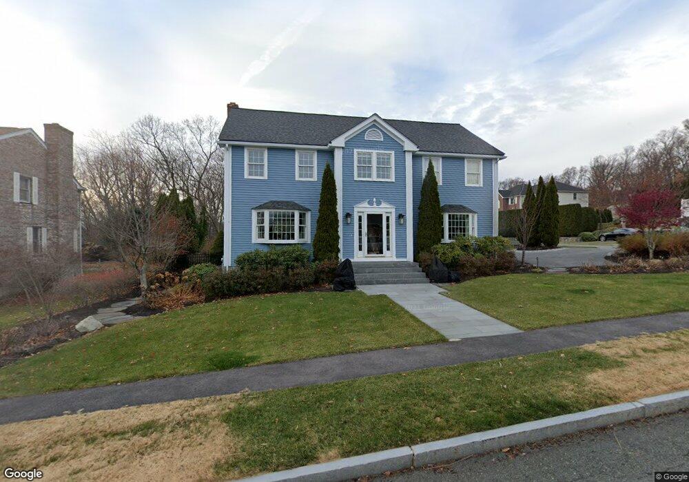
12 Raffaele Dr Waltham, MA 02452
North Waltham NeighborhoodEstimated Value: $1,257,025 - $1,476,000
3
Beds
4
Baths
2,534
Sq Ft
$545/Sq Ft
Est. Value
About This Home
This home is located at 12 Raffaele Dr, Waltham, MA 02452 and is currently estimated at $1,380,506, approximately $544 per square foot. 12 Raffaele Dr is a home located in Middlesex County with nearby schools including Northeast Elementary School, John F Kennedy Middle School, and Waltham Sr High School.
Ownership History
Date
Name
Owned For
Owner Type
Purchase Details
Closed on
Dec 7, 2001
Sold by
Kawasaki Ernest S and Cole Georgette E
Bought by
Harper James K
Current Estimated Value
Home Financials for this Owner
Home Financials are based on the most recent Mortgage that was taken out on this home.
Original Mortgage
$265,000
Outstanding Balance
$104,318
Interest Rate
6.67%
Mortgage Type
Purchase Money Mortgage
Estimated Equity
$1,276,188
Purchase Details
Closed on
Nov 2, 1992
Sold by
Pigeon Hill Est T
Bought by
Amelia Bldg Corp
Purchase Details
Closed on
Jun 19, 1991
Sold by
Mclaughlin Patrick J
Bought by
Mit
Create a Home Valuation Report for This Property
The Home Valuation Report is an in-depth analysis detailing your home's value as well as a comparison with similar homes in the area
Home Values in the Area
Average Home Value in this Area
Purchase History
| Date | Buyer | Sale Price | Title Company |
|---|---|---|---|
| Harper James K | $576,500 | -- | |
| Amelia Bldg Corp | $82,500 | -- | |
| Mit | $212,500 | -- |
Source: Public Records
Mortgage History
| Date | Status | Borrower | Loan Amount |
|---|---|---|---|
| Open | Mit | $265,000 |
Source: Public Records
Tax History Compared to Growth
Tax History
| Year | Tax Paid | Tax Assessment Tax Assessment Total Assessment is a certain percentage of the fair market value that is determined by local assessors to be the total taxable value of land and additions on the property. | Land | Improvement |
|---|---|---|---|---|
| 2025 | $10,626 | $1,082,100 | $483,200 | $598,900 |
| 2024 | $10,147 | $1,052,600 | $461,800 | $590,800 |
| 2023 | $10,036 | $972,500 | $419,100 | $553,400 |
| 2022 | $10,552 | $947,200 | $419,100 | $528,100 |
| 2021 | $10,210 | $901,900 | $402,000 | $499,900 |
| 2020 | $10,239 | $856,800 | $376,300 | $480,500 |
| 2019 | $9,765 | $771,300 | $369,500 | $401,800 |
| 2018 | $8,885 | $704,600 | $342,100 | $362,500 |
| 2017 | $8,259 | $657,600 | $295,100 | $362,500 |
| 2016 | $7,787 | $636,200 | $273,700 | $362,500 |
| 2015 | $8,022 | $611,000 | $269,400 | $341,600 |
Source: Public Records
Map
Nearby Homes
- 116 Raffaele Dr
- 55 Circle Dr
- 70 Rosewood Dr
- 750 Trapelo Rd
- 23 Wight St
- 107 Clocktower Dr Unit 3302
- 170 Clocktower Dr Unit 5103
- 65 Woburn St
- 28 College Farm Rd Unit 2
- 87 Clocktower Dr Unit 2207
- 30 Jacqueline Rd Unit C
- 14 Piedmont Ave
- 44 Sachem St
- 511 Lexington St
- 129 Lake St
- 30 Wampum Ave
- 1105 Lexington St Unit 102
- 65 Montclair Ave
- 49 Lincoln St
- 38 Van Vechten St