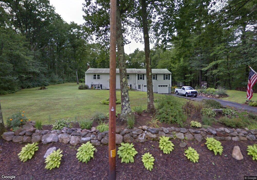
12 Ralph Rd Princeton, MA 01541
Estimated Value: $441,000 - $605,000
4
Beds
1
Bath
1,856
Sq Ft
$282/Sq Ft
Est. Value
About This Home
This home is located at 12 Ralph Rd, Princeton, MA 01541 and is currently estimated at $522,904, approximately $281 per square foot. 12 Ralph Rd is a home located in Worcester County with nearby schools including Wachusett Regional High School.
Create a Home Valuation Report for This Property
The Home Valuation Report is an in-depth analysis detailing your home's value as well as a comparison with similar homes in the area
Home Values in the Area
Average Home Value in this Area
Tax History
| Year | Tax Paid | Tax Assessment Tax Assessment Total Assessment is a certain percentage of the fair market value that is determined by local assessors to be the total taxable value of land and additions on the property. | Land | Improvement |
|---|---|---|---|---|
| 2025 | $6,034 | $415,300 | $124,400 | $290,900 |
| 2024 | $6,053 | $431,400 | $124,400 | $307,000 |
| 2023 | $5,779 | $381,700 | $98,500 | $283,200 |
| 2022 | $5,524 | $352,300 | $98,500 | $253,800 |
| 2021 | $4,973 | $308,500 | $98,500 | $210,000 |
| 2020 | $4,822 | $304,200 | $98,500 | $205,700 |
| 2019 | $4,788 | $298,900 | $95,400 | $203,500 |
| 2018 | $4,977 | $288,000 | $86,800 | $201,200 |
| 2017 | $4,571 | $257,100 | $133,300 | $123,800 |
| 2016 | $4,576 | $257,100 | $133,300 | $123,800 |
| 2015 | $4,353 | $251,600 | $131,000 | $120,600 |
Source: Public Records
Map
Nearby Homes
- 56 Hubbardston Rd
- 45 Old Colony Rd
- 100 Brooks Station Rd
- 34 Simonds Hill Rd
- 569 E County Rd
- 134 Mountain Rd
- 19 Hubbardston Rd
- 49 Greene Rd
- 4 Intervale Rd
- 562 E County Rd
- 96 Ball Hill Rd
- 147 E County Rd Unit 149
- 139 E County Rd Unit 139
- 139 E County Rd Unit 141
- 9 Old Princeton Road Cut-Off
- 35 Brintnal Dr
- 14 Grizzly Dr
- 8 Vista Cir
- 14 Richards Ave
- 1 Barre Road Cut Off
Your Personal Tour Guide
Ask me questions while you tour the home.