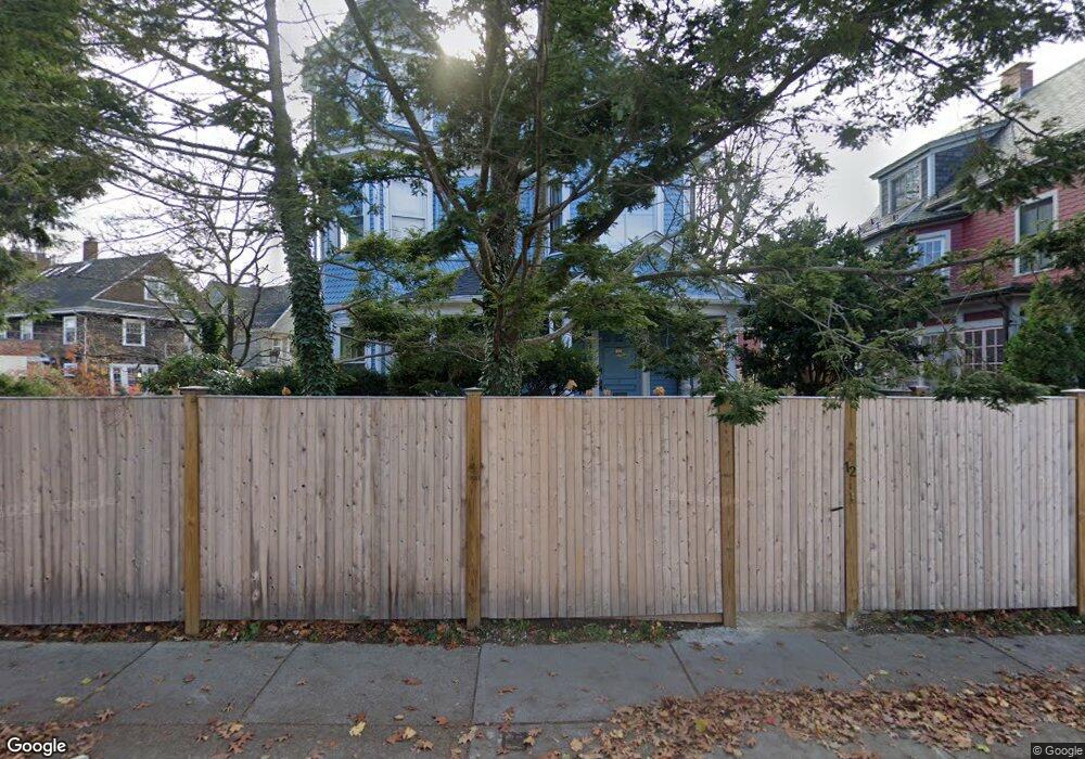
12 Rindge Ave Unit 3 Cambridge, MA 02140
North Cambridge NeighborhoodEstimated Value: $935,000 - $1,187,454
3
Beds
2
Baths
1,558
Sq Ft
$705/Sq Ft
Est. Value
About This Home
This home is located at 12 Rindge Ave Unit 3, Cambridge, MA 02140 and is currently estimated at $1,098,864, approximately $705 per square foot. 12 Rindge Ave Unit 3 is a home located in Middlesex County with nearby schools including Benjamin Banneker Charter Public School, Cambridge Montessori School, and Cambridge Friends School.
Ownership History
Date
Name
Owned For
Owner Type
Purchase Details
Closed on
Apr 23, 2019
Sold by
Chesnais Patricia M
Bought by
Patricia M Chesnais Ret
Current Estimated Value
Purchase Details
Closed on
Sep 6, 2006
Sold by
Martin Gilbert
Bought by
Chesnais Patricia M
Home Financials for this Owner
Home Financials are based on the most recent Mortgage that was taken out on this home.
Original Mortgage
$762,500
Interest Rate
6.79%
Mortgage Type
Purchase Money Mortgage
Create a Home Valuation Report for This Property
The Home Valuation Report is an in-depth analysis detailing your home's value as well as a comparison with similar homes in the area
Home Values in the Area
Average Home Value in this Area
Purchase History
| Date | Buyer | Sale Price | Title Company |
|---|---|---|---|
| Patricia M Chesnais Ret | -- | -- | |
| Chesnais Patricia M | $283,554 | -- |
Source: Public Records
Mortgage History
| Date | Status | Borrower | Loan Amount |
|---|---|---|---|
| Previous Owner | Chesnais Patricia M | $762,500 |
Source: Public Records
Tax History Compared to Growth
Tax History
| Year | Tax Paid | Tax Assessment Tax Assessment Total Assessment is a certain percentage of the fair market value that is determined by local assessors to be the total taxable value of land and additions on the property. | Land | Improvement |
|---|---|---|---|---|
| 2025 | $6,041 | $951,400 | $0 | $951,400 |
| 2024 | $5,691 | $961,400 | $0 | $961,400 |
| 2023 | $5,276 | $900,300 | $0 | $900,300 |
| 2022 | $5,259 | $888,300 | $0 | $888,300 |
| 2021 | $5,073 | $867,200 | $0 | $867,200 |
| 2020 | $4,784 | $832,000 | $0 | $832,000 |
| 2019 | $4,547 | $765,500 | $0 | $765,500 |
| 2018 | $2,347 | $704,200 | $0 | $704,200 |
| 2017 | $4,328 | $666,900 | $0 | $666,900 |
| 2016 | $4,307 | $616,200 | $0 | $616,200 |
| 2015 | $4,268 | $545,800 | $0 | $545,800 |
| 2014 | $4,221 | $503,700 | $0 | $503,700 |
Source: Public Records
Map
Nearby Homes
- 12 Rindge Ave Unit 1
- 12-14 Hollis St
- 30 Chester St Unit 16
- 34 Day St
- 70 Walden St Unit 1
- 70 Walden St Unit 7
- 70 Walden St Unit 11
- 19 Woodbridge St
- 179 Rindge Ave Unit 1
- 183 Rindge Ave Unit 1
- 7 Beech St Unit 319
- 199 Elm St
- 30 Dudley St
- 17 Shea Rd
- 137 Walden St Unit 137
- 18 Windom St
- 1963 Massachusetts Ave Unit 404
- 61 Bolton St Unit 304
- 51 Dudley St Unit 2
- 50 Howard St Unit 5
- 12 Rindge Ave Unit 2
- 18 Rindge Ave
- 20 Rindge Ave Unit 2
- 20 Rindge Ave Unit 1
- 11 Pemberton St
- 20 Pemberton St
- 13 Pemberton St
- 15 Pemberton St
- 2180 Massachusetts Ave
- 2172 Massachusetts Ave
- 17 Pemberton St Unit 2
- 17 Pemberton St Unit 17
- 19 Pemberton St
- 19 Pemberton St Unit 1
- 26 Rindge Ave
- 26 Rindge Ave Unit 1
- 24 Pemberton St
- 2192 Massachusetts Ave Unit 3-4
- 2192 Massachusetts Ave Unit 3-3
- 2192 Massachusetts Ave Unit 3-2