12 Rolling Stone Ln Clancy, MT 59634
Clancy NeighborhoodEstimated Value: $648,131 - $1,096,000
3
Beds
3
Baths
1,662
Sq Ft
$473/Sq Ft
Est. Value
About This Home
This home is located at 12 Rolling Stone Ln, Clancy, MT 59634 and is currently estimated at $786,783, approximately $473 per square foot. 12 Rolling Stone Ln is a home located in Jefferson County with nearby schools including Clancy Elementary School, Clancy Junior High School, and Jefferson High School.
Ownership History
Date
Name
Owned For
Owner Type
Purchase Details
Closed on
May 19, 2017
Sold by
Schneiderhan Anthony James and Brusati Amanda Jo
Bought by
Schneiderhan Anthony J and Schneiderhan Amanda J
Current Estimated Value
Home Financials for this Owner
Home Financials are based on the most recent Mortgage that was taken out on this home.
Original Mortgage
$251,000
Outstanding Balance
$208,623
Interest Rate
4.08%
Estimated Equity
$578,160
Purchase Details
Closed on
Apr 28, 2016
Sold by
Arnold Al
Bought by
Schneiderhan Anthony James and Brusati Amanda Jo
Create a Home Valuation Report for This Property
The Home Valuation Report is an in-depth analysis detailing your home's value as well as a comparison with similar homes in the area
Home Values in the Area
Average Home Value in this Area
Purchase History
| Date | Buyer | Sale Price | Title Company |
|---|---|---|---|
| Schneiderhan Anthony J | -- | Rocky Mountain Title & Insur | |
| Schneiderhan Anthony James | -- | Rocky Mountain Title & Insur |
Source: Public Records
Mortgage History
| Date | Status | Borrower | Loan Amount |
|---|---|---|---|
| Open | Schneiderhan Anthony J | $251,000 |
Source: Public Records
Tax History
| Year | Tax Paid | Tax Assessment Tax Assessment Total Assessment is a certain percentage of the fair market value that is determined by local assessors to be the total taxable value of land and additions on the property. | Land | Improvement |
|---|---|---|---|---|
| 2025 | $3,375 | $688,500 | $0 | $0 |
| 2024 | $3,607 | $551,300 | $0 | $0 |
| 2023 | $3,506 | $551,300 | $0 | $0 |
| 2022 | $2,843 | $372,800 | $0 | $0 |
| 2021 | $2,555 | $372,800 | $0 | $0 |
| 2020 | $2,482 | $319,000 | $0 | $0 |
| 2019 | $2,437 | $319,000 | $0 | $0 |
| 2018 | $2,364 | $297,600 | $0 | $0 |
| 2017 | $433 | $66,155 | $0 | $0 |
| 2016 | $484 | $67,566 | $0 | $0 |
| 2015 | $460 | $67,566 | $0 | $0 |
| 2014 | $683 | $56,761 | $0 | $0 |
Source: Public Records
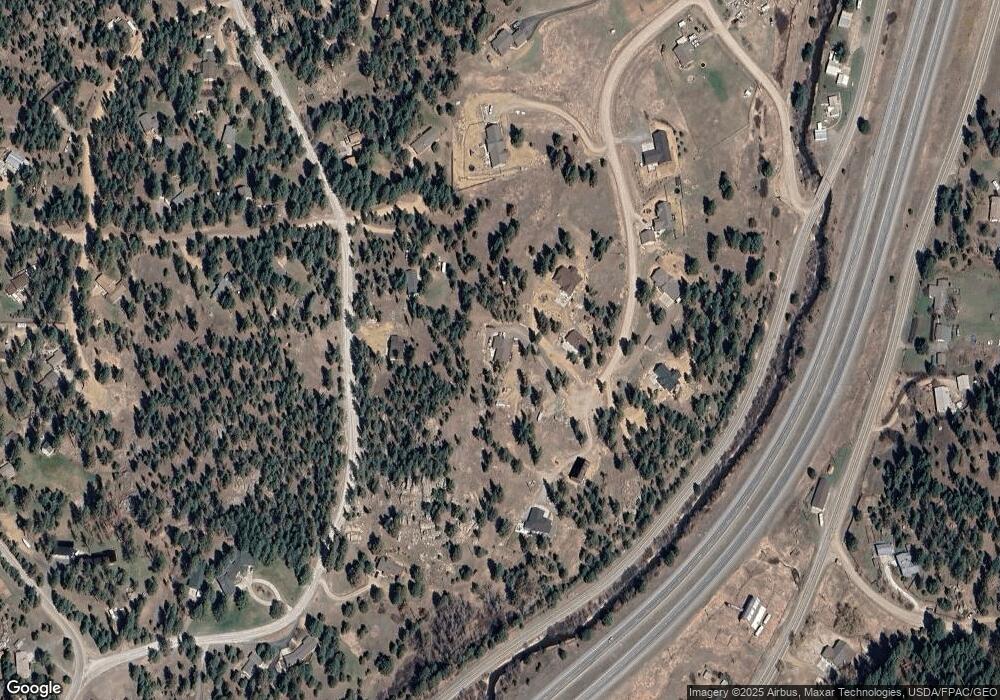
Map
Nearby Homes
- 41 Sleepy Hollow Ln
- 10 Pine Ridge Cir
- 22 Meadow Ln
- TBD Meadow Ln
- 16 Evergreen Ct
- 36 Lost Trail
- 23 B Stoney Brook Dr Unit B
- 23 B Stoney Brook Dr Unit A
- 39 Stoney Brook Dr Unit B
- 39 Stoney Brook Dr Unit A
- 39 Stoney Brook Dr Unit B
- 31 Stoney Brook Dr Unit B
- 26 Stoney Brook Dr Unit B
- 26 Stoney Brook Dr Unit D
- 26 Stoney Brook Dr Unit A
- 26 Stoney Brook Dr Unit C
- 21 Mission Mountain Rd
- 8 Lana Ln
- 14 Ridgeview Dr
- 5 Crazy Mountain Rd
- 16 Rolling Stone Ln
- 14 Rolling Stone Ln
- 10 Rolling Stone Ln
- 8 Rolling Stone Ln
- 3 Whitetail Ln
- 13 Rolling Stone Ln
- 61 Rock Ridge Dr
- 11 Rolling Stone Ln
- 15 Rolling Stone Ln
- 2 Whitetail Ln
- 5 Whitetail Ln
- 24 Rock Ridge Dr
- 46 Rock Ridge Dr
- 9 Rolling Stone Ln
- 7 Rolling Stone Ln
- 5 Rolling Stone Ln
- 9 Whitetail Ln
- 6 Whitetail Ln
- 15 Sleepy Hollow Ln
- 3 Sleepy Hollow Ln
Your Personal Tour Guide
Ask me questions while you tour the home.