12 Roots Beach Ln Elysian, MN 56028
Estimated Value: $532,000 - $691,000
4
Beds
2
Baths
1,368
Sq Ft
$439/Sq Ft
Est. Value
About This Home
This home is located at 12 Roots Beach Ln, Elysian, MN 56028 and is currently estimated at $600,003, approximately $438 per square foot. 12 Roots Beach Ln is a home located in Le Sueur County with nearby schools including Waterville Elementary School, Morristown Elementary School, and Waterville-Elysian-Morristown Junior High School.
Ownership History
Date
Name
Owned For
Owner Type
Purchase Details
Closed on
Jul 11, 2014
Sold by
Steiner James B and Steiner Betty A
Bought by
Hansen Todd A and Hansen Raquel S
Current Estimated Value
Home Financials for this Owner
Home Financials are based on the most recent Mortgage that was taken out on this home.
Original Mortgage
$445,000
Interest Rate
4.12%
Mortgage Type
Land Contract Argmt. Of Sale
Create a Home Valuation Report for This Property
The Home Valuation Report is an in-depth analysis detailing your home's value as well as a comparison with similar homes in the area
Purchase History
| Date | Buyer | Sale Price | Title Company |
|---|---|---|---|
| Hansen Todd A | $445,000 | -- |
Source: Public Records
Mortgage History
| Date | Status | Borrower | Loan Amount |
|---|---|---|---|
| Closed | Hansen Todd A | $445,000 |
Source: Public Records
Tax History Compared to Growth
Tax History
| Year | Tax Paid | Tax Assessment Tax Assessment Total Assessment is a certain percentage of the fair market value that is determined by local assessors to be the total taxable value of land and additions on the property. | Land | Improvement |
|---|---|---|---|---|
| 2025 | $6,388 | $514,300 | $256,900 | $257,400 |
| 2024 | $5,870 | $484,800 | $249,700 | $235,100 |
| 2023 | $5,820 | $468,800 | $239,800 | $229,000 |
| 2022 | $5,680 | $451,500 | $226,000 | $225,500 |
| 2021 | $5,510 | $377,200 | $206,000 | $171,200 |
| 2020 | $5,474 | $356,700 | $195,400 | $161,300 |
| 2019 | $5,122 | $352,800 | $195,400 | $157,400 |
| 2018 | $5,107 | $323,500 | $177,300 | $146,200 |
| 2017 | $4,497 | $323,500 | $177,300 | $146,200 |
| 2016 | $4,066 | $315,400 | $172,000 | $143,400 |
| 2015 | $4,051 | $305,100 | $172,000 | $133,100 |
| 2014 | $4,065 | $305,100 | $172,000 | $133,100 |
| 2013 | $3,997 | $290,300 | $171,600 | $118,700 |
Source: Public Records
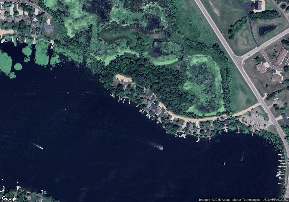
Map
Nearby Homes
- 4 Egret Ln
- 0 Xx Lewis Ln Unit 7025397
- 0 Xx Lewis Ln Unit 7025381
- xx Lewis Ln
- xxxxxx Lewis Ln
- -XX Jason Dr
- 3271 425th Ave
- 49279 Sportsmans Ln
- 49189 Sportsmans Ln
- 20232 Tetonka Lake Rd
- 48901 N Shore Rd
- 0 N Shore Rd
- 47096 Maple Leaf Ln
- 921 Lillian St
- 810 N Shore Dr
- 902 Marion St
- 325 River St
- 114 Reed St S
- 24352 474th Ln
- 24352 474 Ln
- 11 Roots Beach Ln
- 13 Roots Beach Ln
- 10 Roots Beach Ln
- 9 Roots Beach Ln
- 15 Roots Beach Ln
- 16 Roots Beach Ln
- 17 Roots Beach Ln
- 7 Roots Beach Ln
- 6 Roots Beach Ln
- 3 Roots Beach Ln
- 2 Roots Beach Ln
- 1 1 Roots Beach Ln
- 1 Roots Beach Ln
- 1 Roots Beach Ln Unit Lake Francis
- 103 Shoreview Dr Unit Lake Francis
- 103 Shoreview Dr
- 3 Egret Ln
- 5 Egret Ln
- 3 3 Egret Ln
- 9 Egret Ln