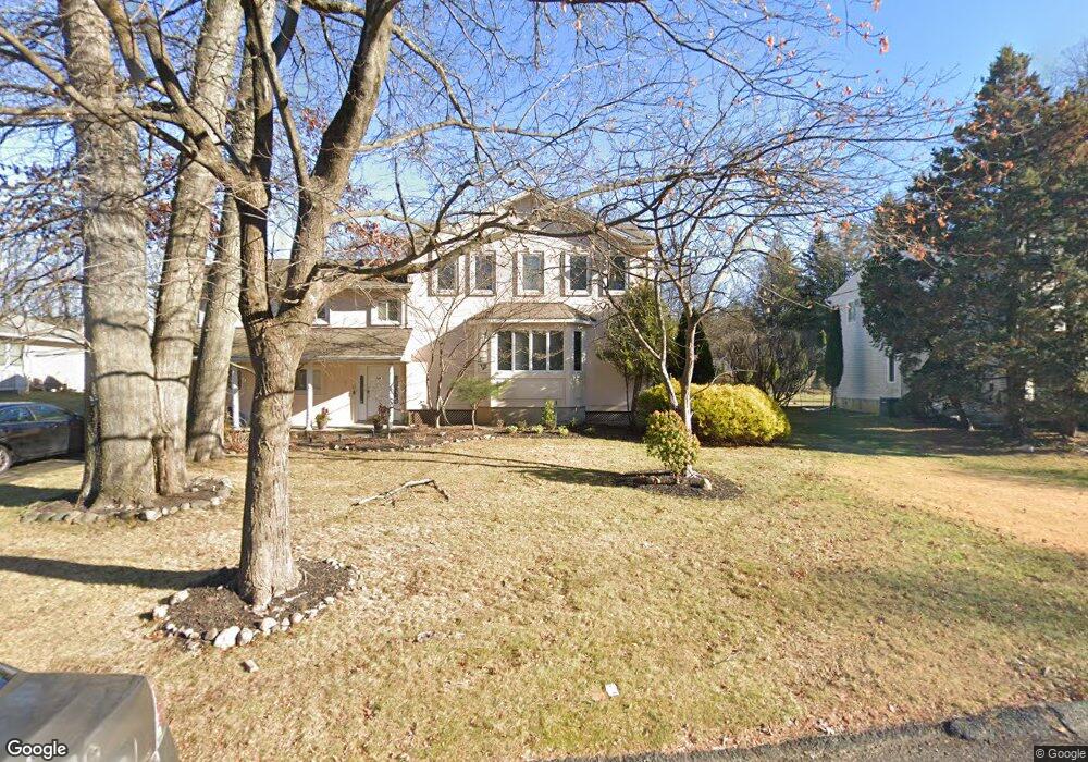
12 Sands Point Rd Monsey, NY 10952
Estimated Value: $464,686 - $1,074,000
3
Beds
3
Baths
3,737
Sq Ft
$196/Sq Ft
Est. Value
About This Home
This home is located at 12 Sands Point Rd, Monsey, NY 10952 and is currently estimated at $731,422, approximately $195 per square foot. 12 Sands Point Rd is a home located in Rockland County with nearby schools including Grandview Elementary School, Pomona Middle School, and Ramapo High School.
Ownership History
Date
Name
Owned For
Owner Type
Purchase Details
Closed on
Mar 5, 2018
Sold by
Pessin Rella H
Bought by
Jaffe Ralph M
Current Estimated Value
Purchase Details
Closed on
Apr 16, 1998
Sold by
Pessin Ephraim J and Pessin Rella H
Bought by
Pessin Rella H
Create a Home Valuation Report for This Property
The Home Valuation Report is an in-depth analysis detailing your home's value as well as a comparison with similar homes in the area
Home Values in the Area
Average Home Value in this Area
Purchase History
| Date | Buyer | Sale Price | Title Company |
|---|---|---|---|
| Jaffe Ralph M | $375,000 | None Available | |
| Pessin Rella H | -- | -- |
Source: Public Records
Tax History Compared to Growth
Tax History
| Year | Tax Paid | Tax Assessment Tax Assessment Total Assessment is a certain percentage of the fair market value that is determined by local assessors to be the total taxable value of land and additions on the property. | Land | Improvement |
|---|---|---|---|---|
| 2024 | $20,668 | $85,600 | $15,400 | $70,200 |
| 2023 | $20,668 | $85,600 | $15,400 | $70,200 |
| 2022 | $19,894 | $85,600 | $15,400 | $70,200 |
| 2021 | $19,894 | $85,600 | $15,400 | $70,200 |
| 2020 | $31,830 | $85,600 | $15,400 | $70,200 |
| 2019 | $19,800 | $85,600 | $15,400 | $70,200 |
| 2018 | $19,800 | $85,600 | $15,400 | $70,200 |
| 2017 | $29,913 | $85,600 | $15,400 | $70,200 |
| 2016 | $29,510 | $85,600 | $15,400 | $70,200 |
| 2015 | -- | $85,600 | $15,400 | $70,200 |
| 2014 | -- | $85,600 | $15,400 | $70,200 |
Source: Public Records
Map
Nearby Homes
- 14 Calvert Dr Unit 102
- 25 Smolley Dr
- 24 Waverly Place
- 12 Cloverdale Ln
- 29 Calvert Dr Unit 115
- 33 Briarcliff Dr
- 40 Calvert Dr
- 352 Blauvelt Rd Unit 202
- 169 Route 306 Unit 101
- 2 Wiener Dr Unit 101
- 151 Blauvelt Rd Unit 116
- 141 Blauvelt Rd Unit 103
- 21 Briarcliff Dr
- 7 Bartlett Rd
- 244 Blauvelt Rd Unit 213
- 1 Manor Dr Unit 102
- 1 Manor Dr Unit 201
- 1 Manor Dr Unit 112
- 1 Manor Dr Unit 202
- 242 Blauvelt Rd Unit 201
- 14 Sands Point Rd
- 10 Sands Point Rd
- 5 Dover Terrace
- 3 Dover Terrace
- 7 Dover Terrace
- 16 Sands Point Rd
- 9 Sands Point Rd
- 11 Sands Point Rd
- 3 Calvert Dr
- 1 Calvert Dr
- 7 Sands Point Rd
- 1 Dover Terrace
- 9 Dover Terrace
- 15 Sands Point Rd
- 18 Sands Point Rd
- 5 Sands Point Rd
- 128 W Maple Ave
- 6 Dover Terrace
- 17 Sands Point Rd
- 126 W Maple Ave