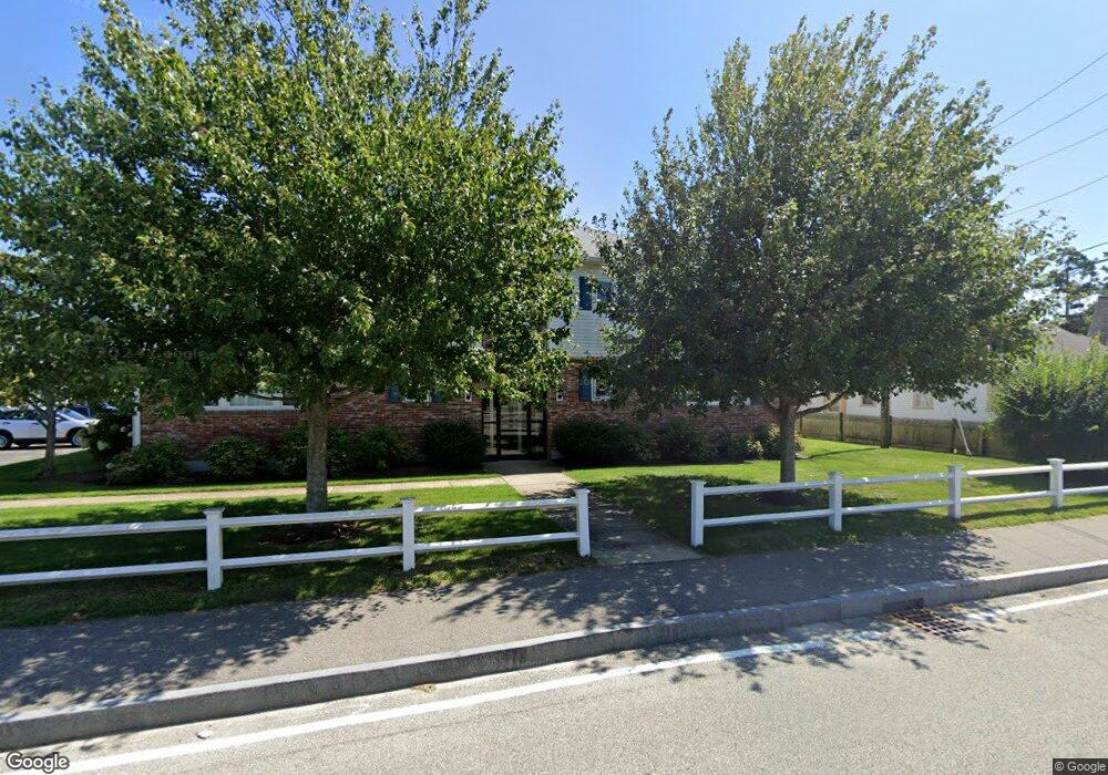
12 South St Unit 1-4 Dennis Port, MA 02639
Dennis Port NeighborhoodEstimated Value: $263,000 - $467,000
2
Beds
1
Bath
875
Sq Ft
$377/Sq Ft
Est. Value
About This Home
This home is located at 12 South St Unit 1-4, Dennis Port, MA 02639 and is currently estimated at $329,688, approximately $376 per square foot. 12 South St Unit 1-4 is a home located in Barnstable County with nearby schools including Dennis-Yarmouth Regional High School and St. Pius X. School.
Ownership History
Date
Name
Owned For
Owner Type
Purchase Details
Closed on
Nov 16, 2023
Sold by
Moritko Robert W and Moritko Carol E
Bought by
Velastegui Christine M and Moritko Robert W
Current Estimated Value
Purchase Details
Closed on
Apr 7, 2008
Sold by
Lanza Debra M
Bought by
Moritko Carol E and Moritko Robert W
Home Financials for this Owner
Home Financials are based on the most recent Mortgage that was taken out on this home.
Original Mortgage
$55,000
Interest Rate
6.06%
Mortgage Type
Purchase Money Mortgage
Purchase Details
Closed on
Dec 13, 2006
Sold by
Kendrick Charles E
Bought by
Lanza Debra M
Purchase Details
Closed on
Sep 30, 1997
Sold by
Lawler Louise Est and Guerreiro
Bought by
Kendrick Charles E and Kendrick Mildred C
Create a Home Valuation Report for This Property
The Home Valuation Report is an in-depth analysis detailing your home's value as well as a comparison with similar homes in the area
Home Values in the Area
Average Home Value in this Area
Purchase History
| Date | Buyer | Sale Price | Title Company |
|---|---|---|---|
| Velastegui Christine M | -- | None Available | |
| Moritko Carol E | $117,900 | -- | |
| Lanza Debra M | $158,300 | -- | |
| Kendrick Charles E | $52,000 | -- |
Source: Public Records
Mortgage History
| Date | Status | Borrower | Loan Amount |
|---|---|---|---|
| Previous Owner | Moritko Carol E | $55,000 |
Source: Public Records
Tax History Compared to Growth
Tax History
| Year | Tax Paid | Tax Assessment Tax Assessment Total Assessment is a certain percentage of the fair market value that is determined by local assessors to be the total taxable value of land and additions on the property. | Land | Improvement |
|---|---|---|---|---|
| 2025 | $1,141 | $263,600 | $0 | $263,600 |
| 2024 | $1,057 | $240,700 | $0 | $240,700 |
| 2023 | $921 | $197,300 | $0 | $197,300 |
| 2022 | $891 | $159,100 | $0 | $159,100 |
| 2021 | $865 | $143,400 | $0 | $143,400 |
| 2020 | $828 | $135,700 | $0 | $135,700 |
| 2019 | $747 | $121,000 | $0 | $121,000 |
| 2018 | $731 | $115,300 | $0 | $115,300 |
| 2017 | $625 | $101,600 | $0 | $101,600 |
| 2016 | $575 | $88,100 | $0 | $88,100 |
| 2015 | $564 | $88,100 | $0 | $88,100 |
| 2014 | $559 | $88,100 | $0 | $88,100 |
Source: Public Records
Map
Nearby Homes
- 159 Center St Unit 22
- 221 Upper County Rd Unit 2A
- 221 Upper County Rd Unit 2A
- 12 Cross St
- 47 Telegraph Rd Unit 1
- 12 Candlewood Ln Unit 2-9
- 73 Division St
- 9 Country Ln
- 26 Manning Rd
- 166 Upper County Rd Unit 1-4
- 141 Division St
- 141 Division St
- 148 Belmont Rd
- 40 Willow St
- 45 Route 28
- 79 Massachusetts 28
- 3 Fairbanks Dr
- 268 Main St
- 72 Bassett Ln
- 6 Bayberry Ln
- 12 South St
- 12 South St Unit 2-6
- 12 South St Unit 2-5
- 12 South St Unit 2-4
- 12 South St Unit 2-3
- 12 South St Unit 2-2
- 12 South St Unit 2-1
- 12 South St Unit 1-6
- 12 South St Unit 1-5
- 12 South St Unit 1-3
- 12 South St Unit 1-2
- 12 South St Unit 1-1
- 12 South St Unit 1
- 20 South St
- 24 South St
- 24 South St Unit A-B-C
- 71 South St
- 77 South St
- 67 South St
- 83 South St