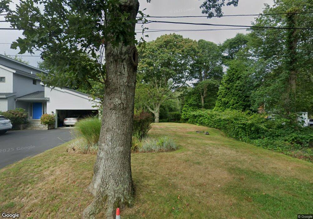
12 South Trail Narragansett, RI 02882
Estimated Value: $1,435,000 - $2,240,000
3
Beds
3
Baths
2,155
Sq Ft
$816/Sq Ft
Est. Value
About This Home
This home is located at 12 South Trail, Narragansett, RI 02882 and is currently estimated at $1,759,107, approximately $816 per square foot. 12 South Trail is a home located in Washington County with nearby schools including Narragansett Elementary School, Narragansett Pier Middle School, and Narragansett High School.
Ownership History
Date
Name
Owned For
Owner Type
Purchase Details
Closed on
Jan 22, 2016
Sold by
Migliori Mary H
Bought by
Adams David E and Adams Elizabeth C
Current Estimated Value
Home Financials for this Owner
Home Financials are based on the most recent Mortgage that was taken out on this home.
Original Mortgage
$600,000
Outstanding Balance
$477,505
Interest Rate
3.98%
Estimated Equity
$1,281,602
Purchase Details
Closed on
Jan 30, 2015
Sold by
Migliori Doanld A and Hope-Migliori Mary
Bought by
Hope-Migliori Mary
Purchase Details
Closed on
Aug 5, 2005
Sold by
Higgins Terrence J and Higgins Barbara
Bought by
Migliori Donald A and Migliori Mary Hope
Purchase Details
Closed on
Jul 30, 1993
Sold by
Lurco Peter J and Lurco Joyce M
Bought by
Higgins Terrence J and Higgins Barbara
Create a Home Valuation Report for This Property
The Home Valuation Report is an in-depth analysis detailing your home's value as well as a comparison with similar homes in the area
Home Values in the Area
Average Home Value in this Area
Purchase History
| Date | Buyer | Sale Price | Title Company |
|---|---|---|---|
| Adams David E | $750,000 | -- | |
| Hope-Migliori Mary | -- | -- | |
| Migliori Donald A | $890,000 | -- | |
| Higgins Terrence J | $280,000 | -- |
Source: Public Records
Mortgage History
| Date | Status | Borrower | Loan Amount |
|---|---|---|---|
| Open | Adams David E | $600,000 | |
| Previous Owner | Higgins Terrence J | $625,000 | |
| Previous Owner | Higgins Terrence J | $160,000 | |
| Previous Owner | Higgins Terrence J | $160,000 |
Source: Public Records
Tax History Compared to Growth
Tax History
| Year | Tax Paid | Tax Assessment Tax Assessment Total Assessment is a certain percentage of the fair market value that is determined by local assessors to be the total taxable value of land and additions on the property. | Land | Improvement |
|---|---|---|---|---|
| 2024 | $10,342 | $1,578,900 | $961,800 | $617,100 |
| 2023 | $9,290 | $997,900 | $519,600 | $478,300 |
| 2022 | $8,981 | $997,900 | $519,600 | $478,300 |
| 2021 | $8,841 | $997,900 | $519,600 | $478,300 |
| 2020 | $7,731 | $737,700 | $387,700 | $350,000 |
| 2019 | $7,547 | $737,700 | $387,700 | $350,000 |
| 2018 | $7,245 | $728,100 | $387,700 | $340,400 |
| 2017 | $6,844 | $648,100 | $355,300 | $292,800 |
| 2016 | $6,275 | $622,500 | $355,300 | $267,200 |
| 2015 | $6,188 | $622,500 | $355,300 | $267,200 |
| 2014 | $5,844 | $582,100 | $304,500 | $277,600 |
Source: Public Records
Map
Nearby Homes
- 27 Westmoreland St
- 26 Westmoreland St
- 126 Boon St
- 35 Anna Olivo Ct
- 0 Hazard Ave
- 115 Kenyon Farm Rd
- 20 5th Ave
- 14 Robinson St
- 137 Kingstown Rd
- 137A Kingstown Rd
- 56 Wanda St
- 6 Pendleton Place
- 31 Avice St
- 285 Kingstown Rd
- 30 Sweet Meadows Ct Unit 26
- 19 Castle Rd
- 125 Woodruff Ave
- 275 Boston Neck Rd
- 0 Daytona Ave
- 576 Point Judith Rd
- 12 S Pier Rd
- 12 Pier Rd
- 179 Ocean Rd Unit B
- 19 S Pier Rd
- 187 Ocean Rd
- 175 Ocean Rd Unit 6
- 175 Ocean Rd Unit 5
- 5 Chestnut St
- 185 Ocean Rd Unit B
- 185 Ocean Rd Unit 5
- 14 Chestnut St
- 191 Ocean Rd
- 9 Chestnut St
- 24 South Trail
- 171 Ocean Rd Unit 8
- 171 Ocean Rd Unit 7
- 11 Chestnut St
- 6 Walnut St
- 195 Ocean Rd
- 16 Chestnut St