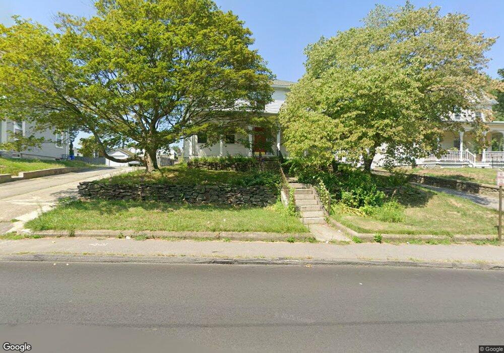
12 Spring St Taunton, MA 02780
City Center NeighborhoodEstimated Value: $590,294 - $755,000
6
Beds
3
Baths
3,381
Sq Ft
$209/Sq Ft
Est. Value
About This Home
This home is located at 12 Spring St, Taunton, MA 02780 and is currently estimated at $706,324, approximately $208 per square foot. 12 Spring St is a home located in Bristol County with nearby schools including Elizabeth Pole School, Taunton High School, and John F. Parker Middle School.
Ownership History
Date
Name
Owned For
Owner Type
Purchase Details
Closed on
Dec 16, 2009
Sold by
Glass Gregory L
Bought by
Glad Ft and Glass Gregory L
Current Estimated Value
Purchase Details
Closed on
Sep 11, 2003
Sold by
Goss Maurice Kent
Bought by
Goss Maurice Kent and Lentine Anthony J
Purchase Details
Closed on
Dec 22, 1997
Sold by
Cardoza-Diman Margaret
Bought by
Glass Gregory L
Home Financials for this Owner
Home Financials are based on the most recent Mortgage that was taken out on this home.
Original Mortgage
$100,000
Interest Rate
7.14%
Mortgage Type
Purchase Money Mortgage
Create a Home Valuation Report for This Property
The Home Valuation Report is an in-depth analysis detailing your home's value as well as a comparison with similar homes in the area
Home Values in the Area
Average Home Value in this Area
Purchase History
| Date | Buyer | Sale Price | Title Company |
|---|---|---|---|
| Glad Ft | -- | -- | |
| Goss Maurice Kent | -- | -- | |
| Glass Gregory L | $135,000 | -- |
Source: Public Records
Mortgage History
| Date | Status | Borrower | Loan Amount |
|---|---|---|---|
| Previous Owner | Glass Gregory L | $100,000 | |
| Previous Owner | Glass Gregory L | $126,000 |
Source: Public Records
Tax History
| Year | Tax Paid | Tax Assessment Tax Assessment Total Assessment is a certain percentage of the fair market value that is determined by local assessors to be the total taxable value of land and additions on the property. | Land | Improvement |
|---|---|---|---|---|
| 2025 | $6,115 | $559,000 | $106,800 | $452,200 |
| 2024 | $5,536 | $494,700 | $106,800 | $387,900 |
| 2023 | $5,145 | $427,000 | $106,800 | $320,200 |
| 2022 | $4,637 | $351,800 | $89,000 | $262,800 |
| 2021 | $4,503 | $317,100 | $80,900 | $236,200 |
| 2020 | $4,376 | $294,500 | $80,900 | $213,600 |
| 2019 | $3,962 | $251,400 | $80,900 | $170,500 |
| 2018 | $3,804 | $242,000 | $81,700 | $160,300 |
| 2017 | $3,447 | $219,400 | $77,400 | $142,000 |
| 2016 | $3,310 | $211,100 | $75,200 | $135,900 |
| 2015 | $2,952 | $196,700 | $74,100 | $122,600 |
| 2014 | $2,890 | $197,800 | $74,100 | $123,700 |
Source: Public Records
Map
Nearby Homes
- 10 Spring St
- 9 Hill St
- 168 Weir St
- 0, M64 L51 Knapp St
- 0 M64 L39 Knapp St
- 0, M64 L49 Knapp St
- 0, M64 L50 Knapp St
- 4 Riverside Ave
- 35 Newcomb Place
- 14 Harrison Ave
- 215 High St Unit 21
- 215 High St Unit 18
- 1 White St
- 4 Walnut St
- 99 Winthrop St
- 303 Cohannet St
- 8 Woodwards Ln
- 44 Belmont St
- 6 W Weir St
- 135 Washburn St
Your Personal Tour Guide
Ask me questions while you tour the home.