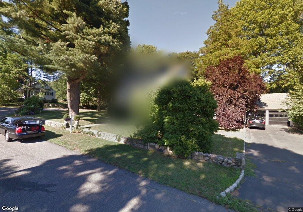
12 Stanley Rd Darien, CT 06820
Estimated Value: $1,678,000 - $1,910,000
3
Beds
3
Baths
2,031
Sq Ft
$865/Sq Ft
Est. Value
About This Home
This home is located at 12 Stanley Rd, Darien, CT 06820 and is currently estimated at $1,756,265, approximately $864 per square foot. 12 Stanley Rd is a home located in Fairfield County with nearby schools including Holmes Elementary School, Middlesex Middle School, and Darien High School.
Ownership History
Date
Name
Owned For
Owner Type
Purchase Details
Closed on
Mar 29, 1996
Sold by
Dahl Nils S
Bought by
Walker Steven and Walker Jill
Current Estimated Value
Purchase Details
Closed on
Mar 31, 1994
Sold by
Neuhaus David and Neuhaus Andrea
Bought by
Dahl Nils S
Purchase Details
Closed on
Apr 29, 1988
Sold by
Clark Lawrence
Bought by
Neuhaus David
Create a Home Valuation Report for This Property
The Home Valuation Report is an in-depth analysis detailing your home's value as well as a comparison with similar homes in the area
Home Values in the Area
Average Home Value in this Area
Purchase History
| Date | Buyer | Sale Price | Title Company |
|---|---|---|---|
| Walker Steven | $392,500 | -- | |
| Dahl Nils S | $363,000 | -- | |
| Neuhaus David | $320,000 | -- |
Source: Public Records
Mortgage History
| Date | Status | Borrower | Loan Amount |
|---|---|---|---|
| Open | Neuhaus David | $250,000 | |
| Closed | Neuhaus David | $216,600 | |
| Closed | Neuhaus David | $200,000 |
Source: Public Records
Tax History
| Year | Tax Paid | Tax Assessment Tax Assessment Total Assessment is a certain percentage of the fair market value that is determined by local assessors to be the total taxable value of land and additions on the property. | Land | Improvement |
|---|---|---|---|---|
| 2025 | $15,023 | $970,480 | $680,470 | $290,010 |
| 2024 | $14,256 | $970,480 | $680,470 | $290,010 |
| 2023 | $12,269 | $696,710 | $453,600 | $243,110 |
| 2022 | $12,004 | $696,710 | $453,600 | $243,110 |
| 2021 | $11,733 | $696,710 | $453,600 | $243,110 |
| 2020 | $11,398 | $696,710 | $453,600 | $243,110 |
| 2019 | $11,475 | $696,710 | $453,600 | $243,110 |
| 2018 | $11,748 | $730,590 | $456,330 | $274,260 |
| 2017 | $11,806 | $730,590 | $456,330 | $274,260 |
| 2016 | $11,521 | $730,590 | $456,330 | $274,260 |
| 2015 | $11,215 | $730,590 | $456,330 | $274,260 |
| 2014 | $10,966 | $730,590 | $456,330 | $274,260 |
Source: Public Records
Map
Nearby Homes
- 17 Sunnyside Ave
- 100 Maple Tree Ave Unit 7
- 22 Radio Place Unit 10
- 43 Phillips Ln
- 35 Maple Tree Ave Unit 1
- 3 Hickory Ln
- 15 Charles St
- 34 Crescent St Unit 2D
- 455 Hope St Unit 4B
- 15 Waterbury Ln
- 167 Hollow Tree Ridge Rd
- 680 Hope St Unit 12
- 166 Hollow Tree Ridge Rd
- 98 Scofield Ave
- 7 Barnstable Ln
- 24 King St
- 71 Deleo Dr
- 151 Courtland Ave Unit 6
- 3 Revere Rd
- 12 Walmsley Rd
Your Personal Tour Guide
Ask me questions while you tour the home.