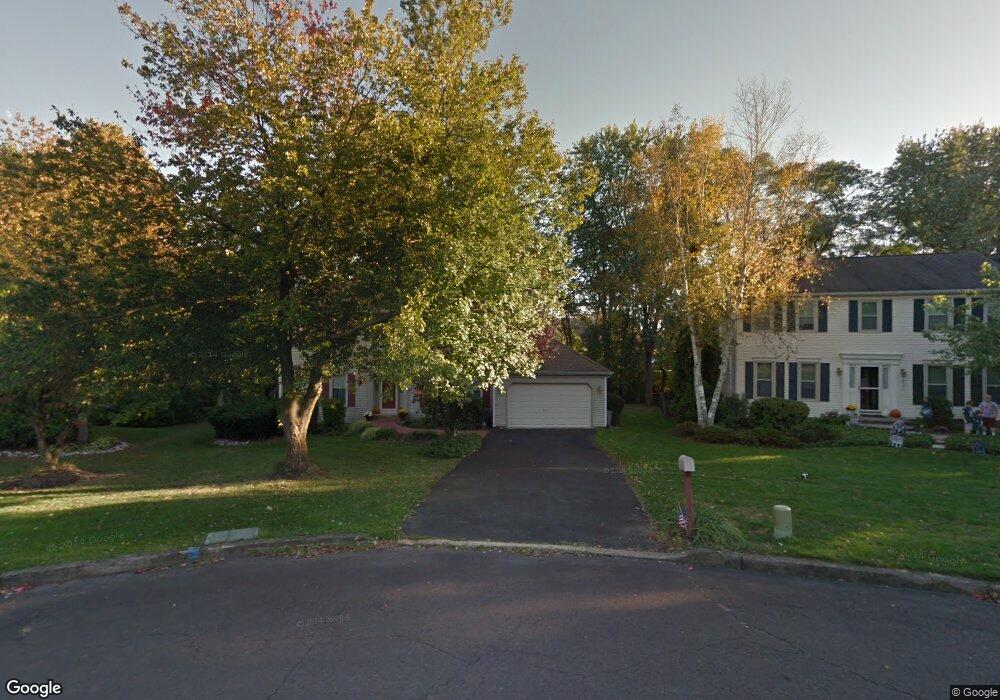
12 Stardust Dr Southampton, PA 18966
Estimated Value: $687,000 - $718,000
4
Beds
3
Baths
2,196
Sq Ft
$318/Sq Ft
Est. Value
About This Home
This home is located at 12 Stardust Dr, Southampton, PA 18966 and is currently estimated at $697,540, approximately $317 per square foot. 12 Stardust Dr is a home located in Bucks County with nearby schools including Rolling Hills Elementary School, Richboro Middle School, and Council Rock High School - South.
Ownership History
Date
Name
Owned For
Owner Type
Purchase Details
Closed on
Jun 30, 1995
Sold by
Mandes Vincent J and Mandes Nancy A
Bought by
Roberts George and Kowalski Roberts Maryanne
Current Estimated Value
Home Financials for this Owner
Home Financials are based on the most recent Mortgage that was taken out on this home.
Original Mortgage
$167,200
Interest Rate
7.48%
Purchase Details
Closed on
Apr 16, 1990
Bought by
Mandes Vincent J and Mandes Nancy A
Create a Home Valuation Report for This Property
The Home Valuation Report is an in-depth analysis detailing your home's value as well as a comparison with similar homes in the area
Home Values in the Area
Average Home Value in this Area
Purchase History
| Date | Buyer | Sale Price | Title Company |
|---|---|---|---|
| Roberts George | $209,000 | -- | |
| Mandes Vincent J | $213,000 | -- |
Source: Public Records
Mortgage History
| Date | Status | Borrower | Loan Amount |
|---|---|---|---|
| Closed | Roberts George | $167,200 |
Source: Public Records
Tax History Compared to Growth
Tax History
| Year | Tax Paid | Tax Assessment Tax Assessment Total Assessment is a certain percentage of the fair market value that is determined by local assessors to be the total taxable value of land and additions on the property. | Land | Improvement |
|---|---|---|---|---|
| 2025 | $7,427 | $38,560 | $11,120 | $27,440 |
| 2024 | $7,427 | $38,560 | $11,120 | $27,440 |
| 2023 | $7,000 | $38,560 | $11,120 | $27,440 |
| 2022 | $6,936 | $38,560 | $11,120 | $27,440 |
| 2021 | $6,716 | $38,560 | $11,120 | $27,440 |
| 2020 | $6,565 | $38,560 | $11,120 | $27,440 |
| 2019 | $6,284 | $38,560 | $11,120 | $27,440 |
| 2018 | $6,172 | $38,560 | $11,120 | $27,440 |
| 2017 | $5,934 | $38,560 | $11,120 | $27,440 |
| 2016 | $5,934 | $38,560 | $11,120 | $27,440 |
| 2015 | -- | $38,560 | $11,120 | $27,440 |
| 2014 | -- | $38,560 | $11,120 | $27,440 |
Source: Public Records
Map
Nearby Homes
- 327 Hale Dr Unit 801A
- 151 Knox Ct
- 102 Keenan Ln
- 180 Independence Dr
- 23 Brianna Rd
- 21 Tree Bark Ln
- 501 Potters Ct
- 41019 Coopers Place Unit 9
- 21 Joanne Rd
- 163 Leedom Way Unit 25
- 28 Peter Dr
- 80 Hershey Ct
- 10014 Beacon Hill Dr Unit 7
- 281 E Village Rd
- 210 E Hanover St
- 501 Heritage Place Unit 1
- 9015 Heritage Dr Unit 8
- 104 Cornell Rd
- 31 Hillcroft Way
- 60 Signal Hill Rd
- 15 Stardust Dr
- 23 Stardust Dr
- 18 Stardust Dr
- 802 Barry Ct Unit 729B
- 8016 Barry Ct
- 8016 Barry Ct Unit 728B
- 804 Barry Ct Unit 729A
- 8014 Barry Ct Unit 728A
- 8014 Barry Ct
- 808 Barry Ct Unit 730B
- 24 Stardust Dr
- 8012 Barry Ct
- 30 Stardust Dr
- 806 Barry Ct Unit 730A
- 1002 Barry Ct Unit 725B
- 1004 Barry Ct Unit 725A
- 1008 Barry Ct Unit 1008 Barry Court
- 1008 Barry Ct Unit 726B
- 26 Stardust Dr
- 1016 Barry Ct Unit 724-B