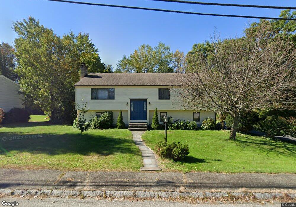
12 Stevin Dr Woburn, MA 01801
Cummingsville NeighborhoodEstimated Value: $693,000 - $888,000
3
Beds
2
Baths
1,236
Sq Ft
$648/Sq Ft
Est. Value
About This Home
This home is located at 12 Stevin Dr, Woburn, MA 01801 and is currently estimated at $800,761, approximately $647 per square foot. 12 Stevin Dr is a home located in Middlesex County with nearby schools including Reeves Elementary School, Daniel L. Joyce Middle School, and Woburn High School.
Ownership History
Date
Name
Owned For
Owner Type
Purchase Details
Closed on
Feb 28, 1991
Sold by
Kinton Mark J and Young Karen A
Bought by
Miano Mark W
Current Estimated Value
Home Financials for this Owner
Home Financials are based on the most recent Mortgage that was taken out on this home.
Original Mortgage
$75,000
Interest Rate
9.69%
Mortgage Type
Purchase Money Mortgage
Create a Home Valuation Report for This Property
The Home Valuation Report is an in-depth analysis detailing your home's value as well as a comparison with similar homes in the area
Home Values in the Area
Average Home Value in this Area
Purchase History
| Date | Buyer | Sale Price | Title Company |
|---|---|---|---|
| Miano Mark W | $190,000 | -- | |
| Miano Mark W | $190,000 | -- |
Source: Public Records
Mortgage History
| Date | Status | Borrower | Loan Amount |
|---|---|---|---|
| Closed | Miano Mark W | $75,000 | |
| Previous Owner | Miano Mark W | $43,000 |
Source: Public Records
Tax History
| Year | Tax Paid | Tax Assessment Tax Assessment Total Assessment is a certain percentage of the fair market value that is determined by local assessors to be the total taxable value of land and additions on the property. | Land | Improvement |
|---|---|---|---|---|
| 2025 | $6,227 | $729,200 | $369,300 | $359,900 |
| 2024 | $5,737 | $711,800 | $351,900 | $359,900 |
| 2023 | $5,558 | $638,800 | $319,900 | $318,900 |
| 2022 | $5,416 | $579,900 | $278,600 | $301,300 |
| 2021 | $6,905 | $555,000 | $265,500 | $289,500 |
| 2020 | $6,699 | $537,200 | $265,500 | $271,700 |
| 2019 | $1,284 | $498,800 | $253,000 | $245,800 |
| 2018 | $4,526 | $457,600 | $232,400 | $225,200 |
| 2017 | $4,458 | $448,500 | $221,600 | $226,900 |
| 2016 | $4,257 | $423,600 | $207,300 | $216,300 |
| 2015 | $4,100 | $403,100 | $193,900 | $209,200 |
| 2014 | $3,820 | $365,900 | $193,900 | $172,000 |
Source: Public Records
Map
Nearby Homes
- 1 Douglass Green
- 14 Liana St
- 15 Crescent Rd
- 16 Battlemarch Way
- 299 Lexington St Unit 51
- 255 East St
- 4 Northgate Cir
- 10 Gately Dr
- 212 Cambridge Rd
- 23 Thoreau Rd
- 23 Burroughs Rd
- 36 Cambridge Rd Unit 40
- 1 Maureen Rd
- 74 Hammond Place Unit 74
- 143 East St
- 19 Indian Hill Rd
- 15 Peachtree Rd
- 197 Grant St
- 8 Blueberry Ln
- 12 Thornberry Rd
Your Personal Tour Guide
Ask me questions while you tour the home.