12 Timothy Rd Weston, CT 06883
Estimated Value: $1,335,176 - $1,543,000
5
Beds
3
Baths
3,232
Sq Ft
$448/Sq Ft
Est. Value
About This Home
This home is located at 12 Timothy Rd, Weston, CT 06883 and is currently estimated at $1,449,044, approximately $448 per square foot. 12 Timothy Rd is a home located in Fairfield County with nearby schools including Hurlbutt Elementary School, Weston Intermediate School, and Weston Middle School.
Ownership History
Date
Name
Owned For
Owner Type
Purchase Details
Closed on
Dec 2, 1982
Bought by
Furukawa Hiroshi and Furukawa Sachiyo
Current Estimated Value
Create a Home Valuation Report for This Property
The Home Valuation Report is an in-depth analysis detailing your home's value as well as a comparison with similar homes in the area
Home Values in the Area
Average Home Value in this Area
Purchase History
| Date | Buyer | Sale Price | Title Company |
|---|---|---|---|
| Furukawa Hiroshi | -- | -- |
Source: Public Records
Mortgage History
| Date | Status | Borrower | Loan Amount |
|---|---|---|---|
| Open | Furukawa Hiroshi | $300,000 | |
| Closed | Furukawa Hiroshi | $200,000 | |
| Closed | Furukawa Hiroshi | $100,000 |
Source: Public Records
Tax History
| Year | Tax Paid | Tax Assessment Tax Assessment Total Assessment is a certain percentage of the fair market value that is determined by local assessors to be the total taxable value of land and additions on the property. | Land | Improvement |
|---|---|---|---|---|
| 2025 | $15,753 | $659,120 | $214,340 | $444,780 |
| 2024 | $15,470 | $659,120 | $214,340 | $444,780 |
| 2023 | $15,095 | $456,580 | $214,340 | $242,240 |
| 2022 | $15,053 | $456,580 | $214,340 | $242,240 |
| 2021 | $15,031 | $456,580 | $214,340 | $242,240 |
| 2020 | $14,779 | $456,580 | $214,340 | $242,240 |
| 2019 | $14,779 | $456,580 | $214,340 | $242,240 |
| 2018 | $14,586 | $496,300 | $240,900 | $255,400 |
| 2017 | $14,348 | $496,300 | $240,900 | $255,400 |
| 2016 | $14,174 | $496,300 | $240,900 | $255,400 |
| 2015 | $14,274 | $496,300 | $240,900 | $255,400 |
| 2014 | $14,016 | $496,300 | $240,900 | $255,400 |
Source: Public Records
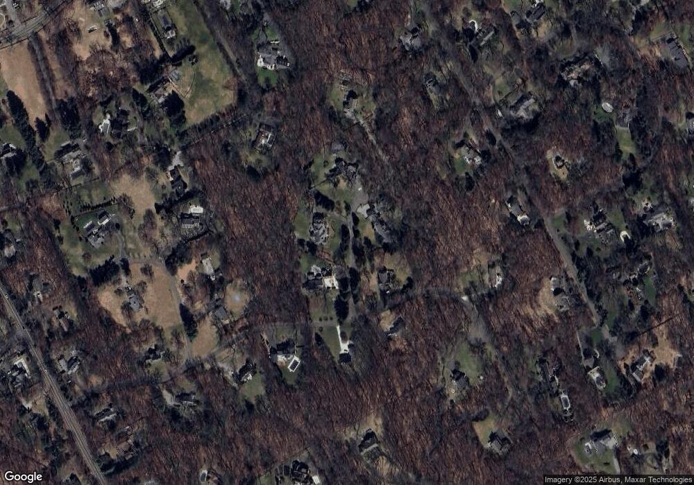
Map
Nearby Homes
- 35 Joanne Ln
- 214 Good Hill Rd
- 4 Good Hill Rd
- 76 Sturges Ridge Rd
- 30 Lords Hwy
- 41 Calvin Rd
- 39 Tannery Ln S
- 76 Lords Hwy
- 1 Greenlea Ln
- 117 Weston Rd
- 282 North Ave
- 319 Bayberry Ln
- 278 North Ave
- 274 Lyons Plain Rd
- 126 Heather Ln
- 14 Langner Ln
- 30 Cavalry Rd
- 25 Hermit Ln
- 10 Pheasant Hill Rd
- 4 Trails End Rd
- 10 Timothy Rd
- 15 Norfield Woods Rd
- 75 Norfield Rd
- 19 Norfield Woods Rd
- 11 Norfield Woods Rd
- 7 Timothy Rd
- 6 Timothy Rd
- 83 Norfield Rd
- 25 Norfield Woods Rd
- 87 Norfield Rd
- 69 Norfield Rd
- 4 Deer Path Rd
- 1 Deer Path Rd
- 79 Norfield Rd
- 24 Hidden Meadow Rd
- 31 Norfield Woods Rd
- 30 Norfield Woods Rd
- 8 Norfield Woods Rd
- 73 Norfield Rd
- 2 Timothy Rd
Your Personal Tour Guide
Ask me questions while you tour the home.