Estimated Value: $1,629,687 - $2,545,000
5
Beds
3
Baths
3,890
Sq Ft
$483/Sq Ft
Est. Value
About This Home
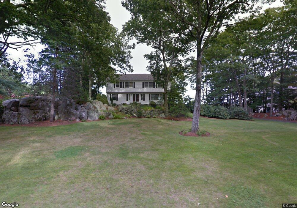
This home is located at 12 Tower Dr, Dover, MA 02030 and is currently estimated at $1,877,922, approximately $482 per square foot. 12 Tower Dr is a home located in Norfolk County with nearby schools including Chickering Elementary School, Dover-Sherborn Regional Middle School, and Dover-Sherborn Regional High School.
Ownership History
Date
Name
Owned For
Owner Type
Purchase Details
Closed on
Mar 19, 2021
Sold by
Phyllis A Madigan Ret
Bought by
Lindquist Paul R
Current Estimated Value
Purchase Details
Closed on
Mar 6, 1998
Sold by
Anderson Kenneth J and Anderson Serena L
Bought by
Madigan Phyllis
Home Financials for this Owner
Home Financials are based on the most recent Mortgage that was taken out on this home.
Original Mortgage
$400,000
Interest Rate
6.93%
Mortgage Type
Purchase Money Mortgage
Purchase Details
Closed on
Aug 5, 1996
Sold by
Halleran Leo B and Halleran Judith A
Bought by
Anderson Kenneth J and Anderson Serena L
Purchase Details
Closed on
Jun 18, 1992
Sold by
South Shore Bank
Bought by
Halleran Leo B and Halleran Judith A
Purchase Details
Closed on
Apr 13, 1992
Sold by
Est Nargassans Robert
Bought by
South Shore Bk
Create a Home Valuation Report for This Property
The Home Valuation Report is an in-depth analysis detailing your home's value as well as a comparison with similar homes in the area
Home Values in the Area
Average Home Value in this Area
Purchase History
| Date | Buyer | Sale Price | Title Company |
|---|---|---|---|
| Lindquist Paul R | -- | None Available | |
| Madigan Phyllis | $568,000 | -- | |
| Anderson Kenneth J | $520,000 | -- | |
| Halleran Leo B | $330,000 | -- | |
| South Shore Bk | $300,000 | -- |
Source: Public Records
Mortgage History
| Date | Status | Borrower | Loan Amount |
|---|---|---|---|
| Previous Owner | South Shore Bk | $220,000 | |
| Previous Owner | South Shore Bk | $400,000 | |
| Previous Owner | South Shore Bk | $370,000 |
Source: Public Records
Tax History
| Year | Tax Paid | Tax Assessment Tax Assessment Total Assessment is a certain percentage of the fair market value that is determined by local assessors to be the total taxable value of land and additions on the property. | Land | Improvement |
|---|---|---|---|---|
| 2025 | $16,729 | $1,484,400 | $740,900 | $743,500 |
| 2024 | $15,451 | $1,409,800 | $716,900 | $692,900 |
| 2023 | $14,932 | $1,224,900 | $630,000 | $594,900 |
| 2022 | $13,974 | $1,125,100 | $606,000 | $519,100 |
| 2021 | $14,242 | $1,104,900 | $606,000 | $498,900 |
| 2020 | $14,187 | $1,104,900 | $606,000 | $498,900 |
| 2019 | $14,286 | $1,104,900 | $606,000 | $498,900 |
| 2018 | $13,786 | $1,073,700 | $606,000 | $467,700 |
| 2017 | $13,586 | $1,041,100 | $558,100 | $483,000 |
| 2016 | $13,409 | $1,041,100 | $558,100 | $483,000 |
| 2015 | $12,887 | $1,014,700 | $531,700 | $483,000 |
Source: Public Records
Map
Nearby Homes
Your Personal Tour Guide
Ask me questions while you tour the home.